Groups unite to map challenges to Colorado’s public lands
Land managers, residents and scientists across Colorado’s Front Range are uniting to map how ecosystems and public lands are responding to pressures from people and climate change.
“Colorado will face some tough choices in the coming years and decades. . . . It’s important for residents of Colorado to have a voice in how we set priorities as we look into the future,” investigator Amanda Carrico said.
Researchers will adapt an advanced computer model of Earth systems to the Rocky Mountain environment. A measurement campaign on Niwot Ridge is helping develop and test the model.
At the same time, Carrico is learning from land managers how they make decisions in the face of public pressure and climate change. Those conversations will shape project research with land managers and residents.
“Working with local institutions on local problems—that’s something we’re all excited about,” investigator Keith Musselman said.

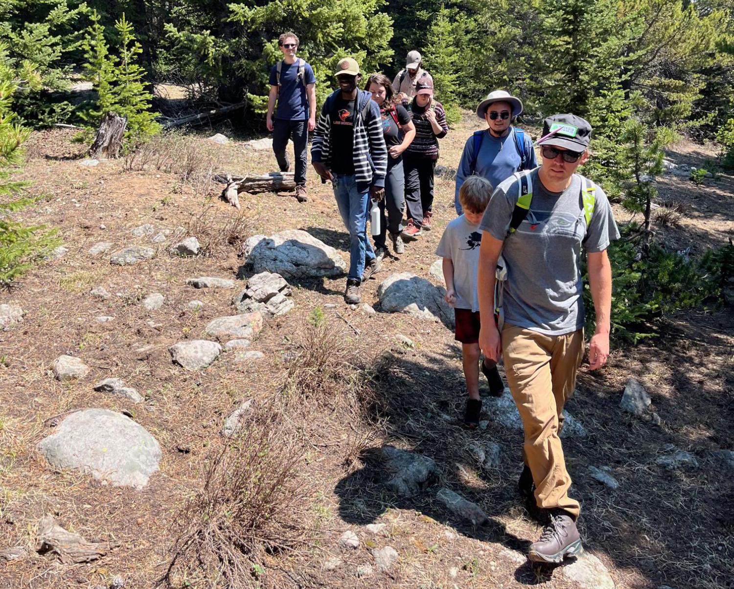
Faculty, students and technicians from CU Boulder and the University of Wyoming walk the site of the newly installed EcoTram near INSTAAR’s Mountain Research Station. Photo: Keith Musselman
Principals
Peter Blanken; Amanda Carrico; Eve-Lyn Hinckley; John Knowles; Keith Musselman
Funding
National Science Foundation (NSF)
Collaboration + support
CU Boulder students and staff; land managers; residents

