Teams from several other universities and government organizations had their own roles and equipment in the TORUS project:
- The CU team worked in tight coordination with the University of Nebraska-Lincoln. That team used mobile measurement vehicles–Ford Explorers equiped with metal scaffolding that carried sensors to collect surface observations during a storm like pressure, temperature and humidity. These cars partnered with the CU drone teams that collected the same data during deployment, allowing for easy and useful comparison between the two.
- Texas Tech University used two Ka -band Mobile Doppler Radar Trucks to create a 3D structure of the winds present in the storm. These provide the ability for four-dimensional mapping of a wide spectrum of atmospheric phenomena with very-fine spatial resolution useful for the atmospheric scientists and engineers. They also have a higher resolution than that usually provided by other types of equipment which helps researchers "see" through the heaviest rains without losing much signal. That means clearer and more useful data in the end.
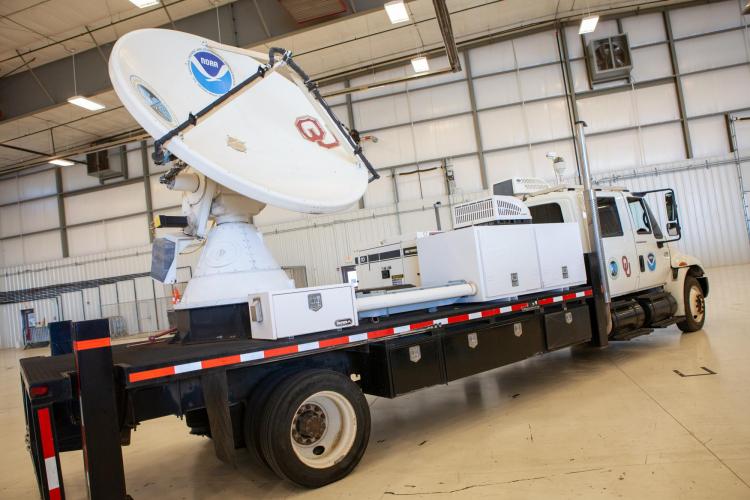
- The University of Oklahoma deployed 20 instruments and vehicles in the project, including a mobile LiDAR system on pickup trucks. This system uses laser light to see small dust and aerosol particles which can tell researchers how fast the wind is blowing. They also use weather balloons to help with this understanding about wind flows.
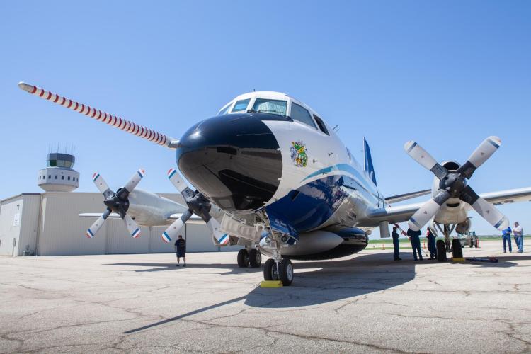
- Finally, the National Severe Storms Laboratory used a manned P3 Orion “hurricane hunter” airplane that is piloted near the storm to gather information about its shape and formation using three separate radar systems about a mile and a half above the ground.
Photos from NOAA on Media Day in Kansas, 2019