
GIS Concentration
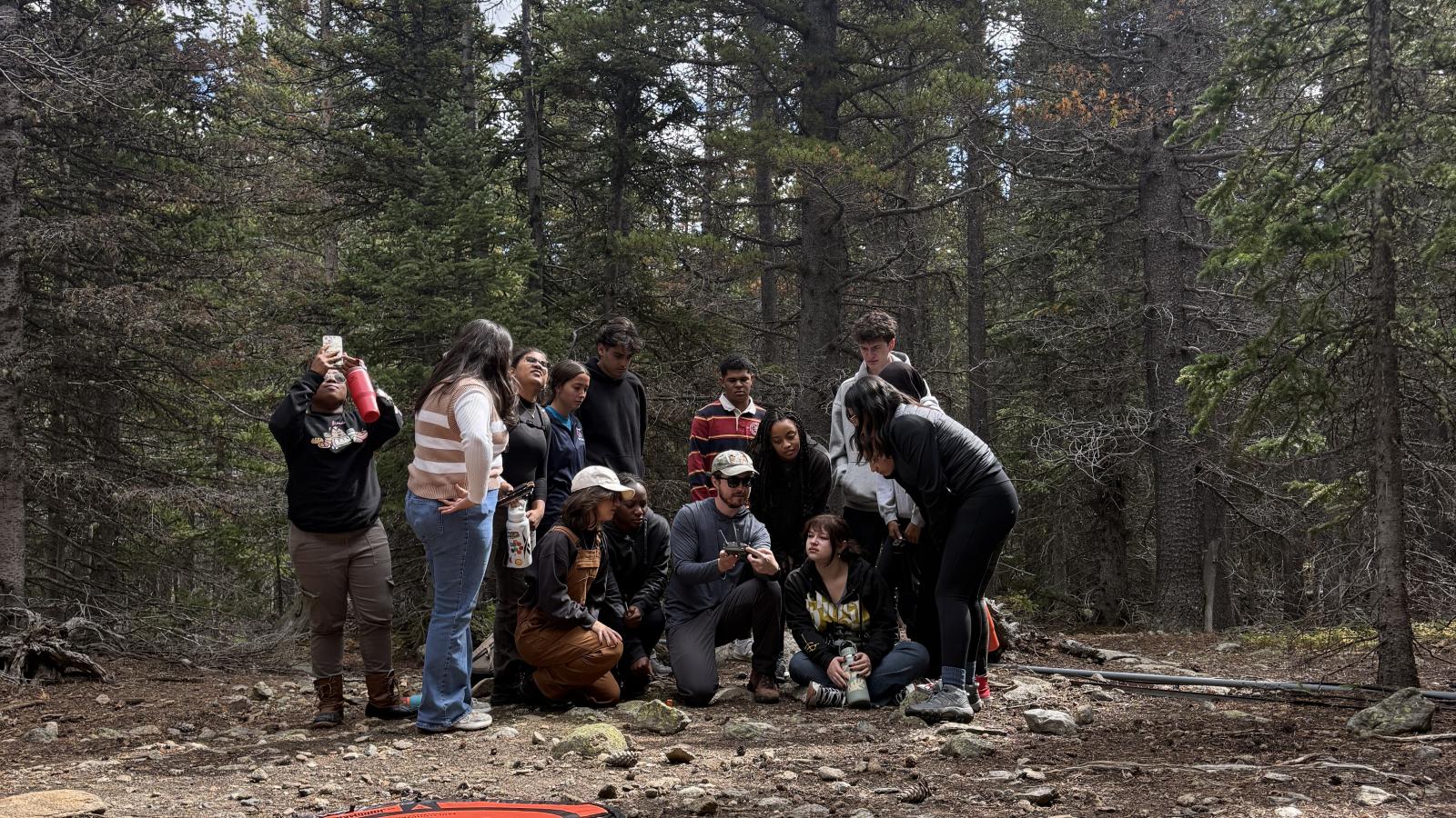
Geographic Information and Data Sciences in Action
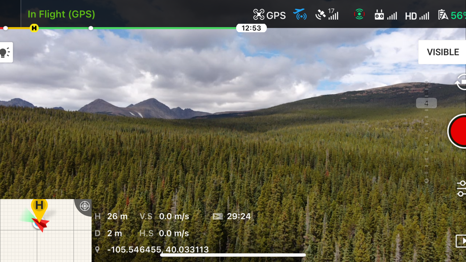
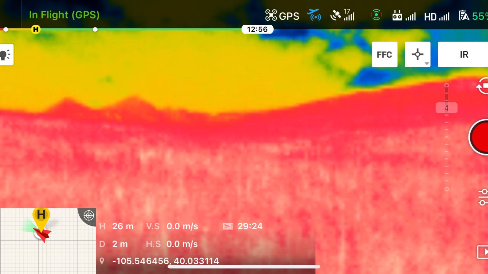

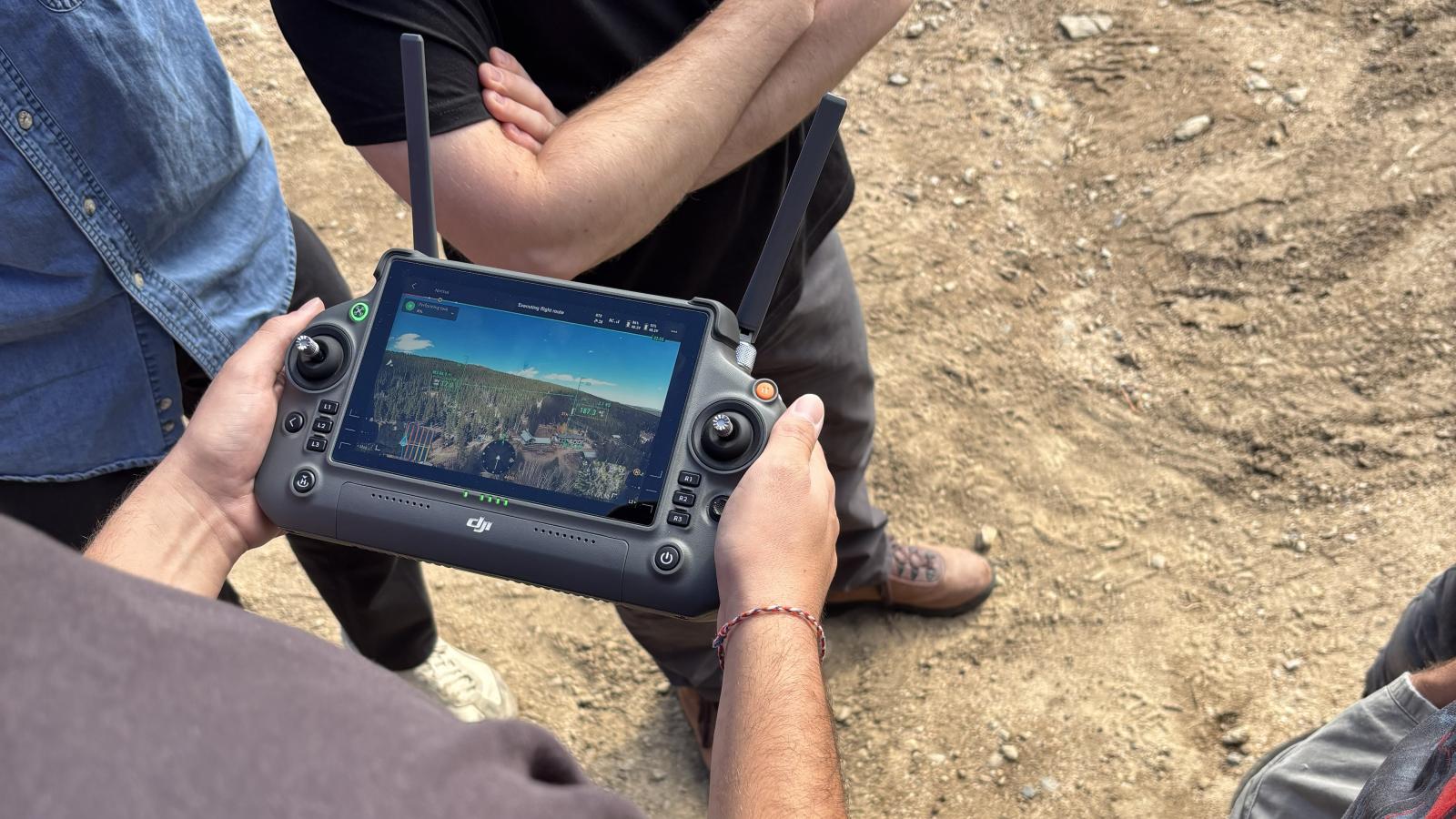

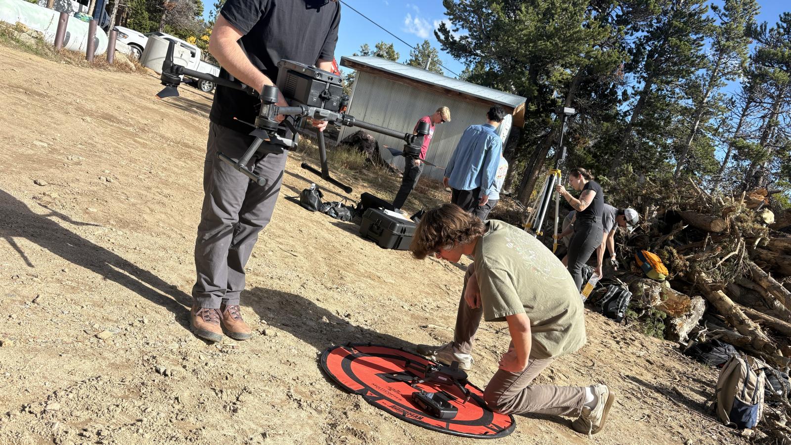
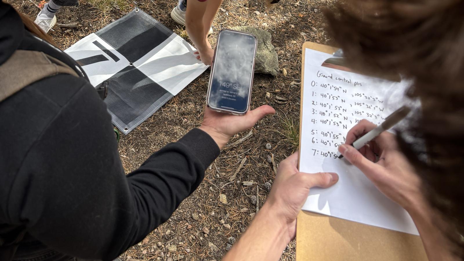

Geographic Information Science (GIS), cartography, remote sensing, drones, and computer programming
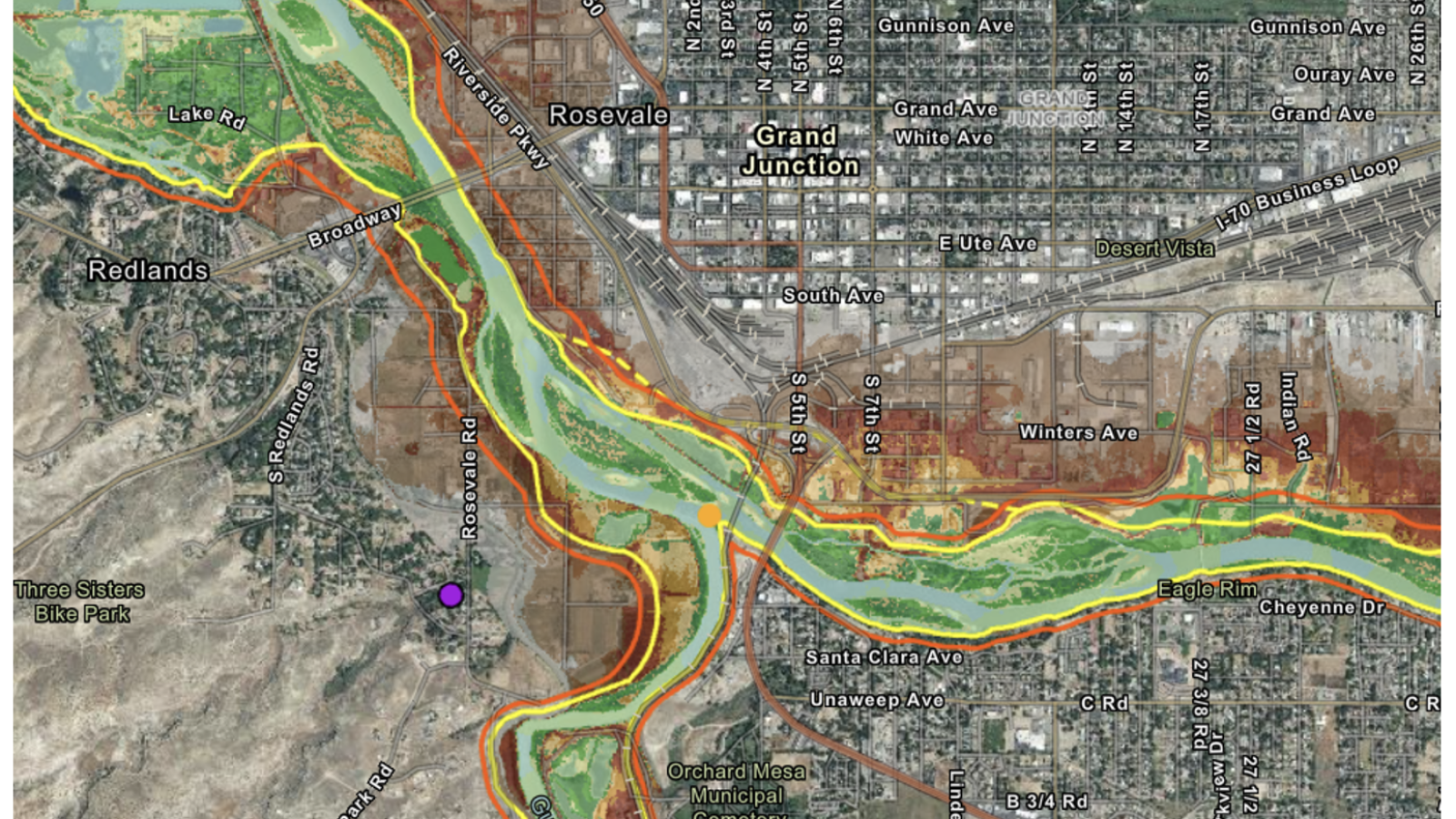
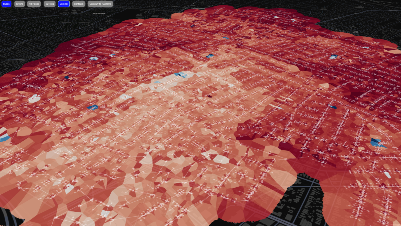
Geographers have an ongoing concern with the acquisition, manipulation, and representation of spatial data. The widespread adoption of digital technology coupled with management of very large spatial data sets has led to the development of Geographic Information Science. Particularly with respect to digital information, the nature of geographical data that vary with scale, time, and spectral characteristics presents unique problems for geographers and environmental scientists. In our world of massive amounts of information, Geographers use remote sensing methods for collecting and integrating geographical data. They utilize cartography and geographic information systems to uncover spatial patterns and trends, to reconstruct past environmental conditions and to predict future scenarios. The use of such methods requires expertise not covered in human and physical geography concentrations. Conceptually, the societal, political and ethical implications of geographic information in policy and decision-making are only beginning to be understood; this forms an important component of study in geographic information science. The dissemination of geographic knowledge at all levels of education forms another important component of this concentration. Geographic information science is closely tied to the fundamental areas of geography--biophysical, human, and environment/society relations.
Courses in this Concentration
Lower Division
- GEOG 1100: Colorado Geographies: Environment, Society and Change in the Centennial State
- GEOG 1200: Climate Change Geographies: Science, Impacts, and Action
- GEOG 2053: Mapping Our World
- GEOG 2421: Visualizing Climate Change and Extreme Weather Events
Methods
Upper Division
- GEOG 3053: Geographic Information Science: Mapping
- GEOG 3930: Internship (case-by-case)
- GEOG 4043: Advanced Geovisualization and Web Mapping
- GEOG 4093: Remote Sensing of the Environment
- GEOG 4103: Geographic Information Science: Spatial Analytics
- GEOG 4173: Research Seminar
- GEOG 4203: Geographic Information Science: Spatial Modeling
- GEOG 4303: Geographic Information Science: Spatial Programming
- GEOG 4403: Geographic Information Science: Space Time Analytics
- GEOG 4503: Geographic Information Science: Project Management
- GEOG 4603: GIS in the Social and Natural Sciences