
Nick Lewis, MA 2018

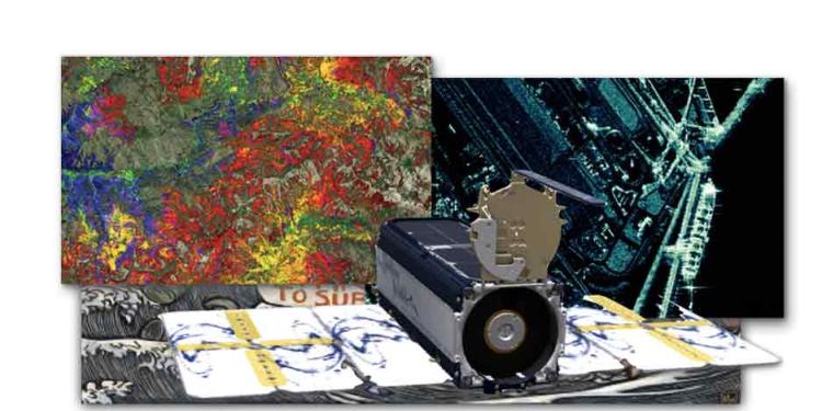
Remote Sensing instruments and maps
My advanced degrees in Space Studies and Geography have provided a unique skill set as it relates to Remote Sensing. I'm well equipped to assist customers in resolving their intelligence and information requirements by refining their proposals to operate within the bounds of current satellite imaging capabilities and can advise my data science team regarding imagery exploitation toward AI/ML solutions.
There is tremendous opportunity for those with remote sensing competency/literacy, geospatial data fusion/visualization and data science leanings in the defense and intelligence communities. One of the most exciting aspects of what we are doing is that we have fully funded research endeavors that each have plans for operationalizing and integrating the capability. Our research and development create improvements and efficiencies toward advancing the field of computer vision and elevating our programs, algorithms, and understanding of computer vision model performance.