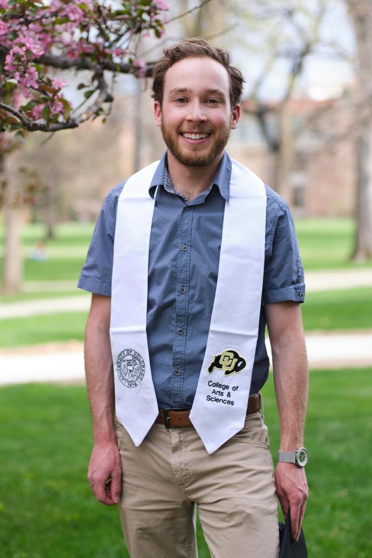
During my undergrad in the geography department, I found myself particularly drawn to the GIS and remote sensing classes. After I graduated in the spring of 2021 with a BA in Geography and the GIS concentration, I was eager to gain industry experience and continue to build upon my interest in remote sensing. I participated in the NASA DEVELOP Program, where I worked on 3 remote sensing projects utilizing NASA Earth Observations to inform land management decisions for various partner organizations. During my first term, we mapped invasive cheatgrass in the Cameron Peak wildfire burn area using Sentinel-2 imagery and machine learning. Next, I worked on characterizing bighorn sheep habitat in the Tetons and performed land cover change forecasting and a habitat suitability analysis. Finally, I helped to build a Google Earth Engine tool to estimate the carbon stock of agricultural orchards for California’s annual carbon budget analysis. I gained some amazing hands-on experience, and these projects solidified my passion for utilizing technology to address complex environmental and conservation applications.
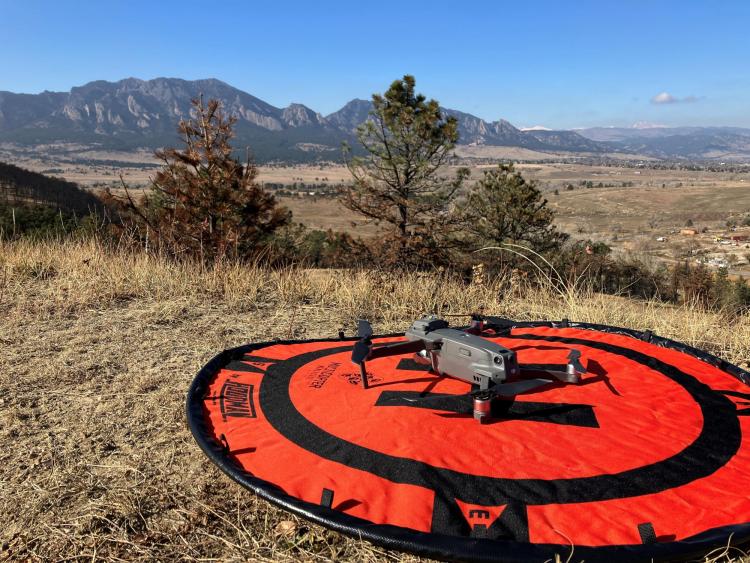
This fall, I came back to campus to take UAS for Earth Observations as I transitioned into a new job. I recently accepted a position at ESRI, where I am working as a Solutions Engineer in the Imagery and Remote Sensing department. Specifically, I’m supporting ESRI’s drone mapping software and providing technical solutions for their drone mapping clients. I’ll also provide outreach for UAS mapping and enjoy some field work.
It has been an amazing experience getting to apply my classwork directly to my job. My time at CU has prepared me quite well for my career so far. Thanks to all the faculty in the geography department who supported me along the way!