New partnership with DigitalGlobe advances research innovation locally, worldwide
CU Boulder and DigitalGlobe Inc. this week announced a partnership to provide access to DigitalGlobe’s industry-leading high-resolution satellite imagery, data and analytics tools to the university’s Earth Lab initiative in order to advance earth and space science research.
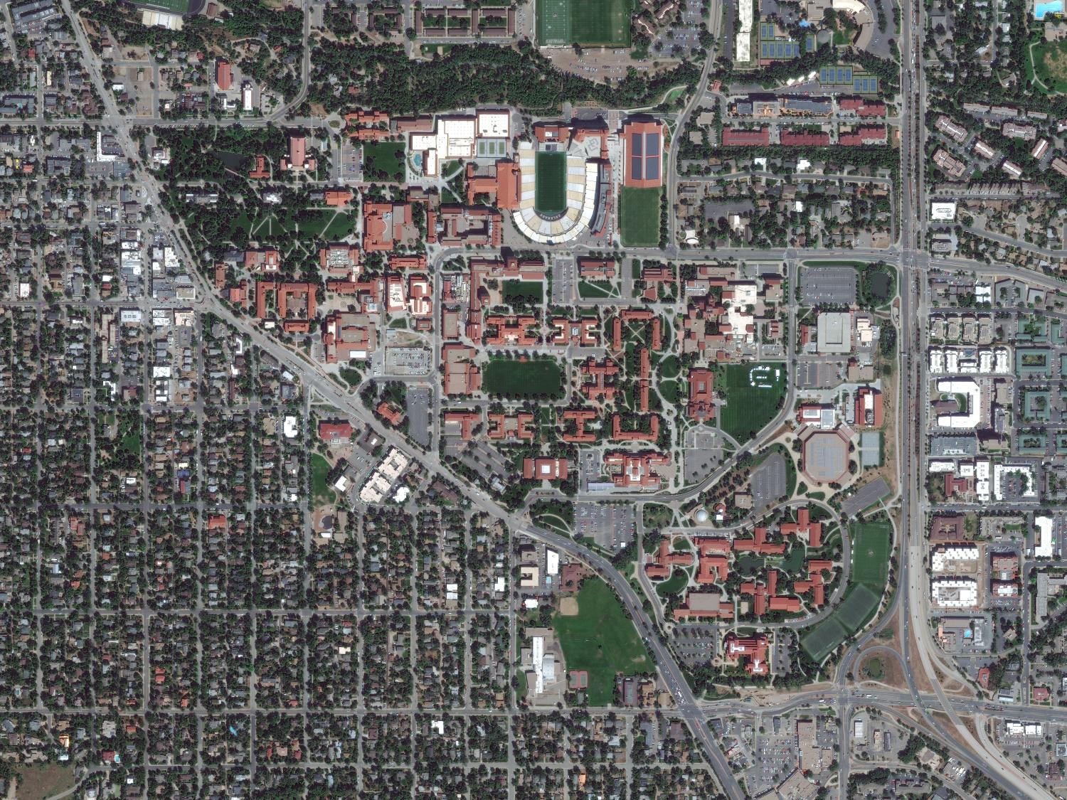
DigitalGlobe operates the most sophisticated commercial imaging satellite constellation in orbit, which delivers information that businesses, governments, and humanitarian organizations around the world rely on to make decisions with confidence.
Researchers and students will receive access to DigitalGlobe’s GBDX platform, which provides cloud-based access to DigitalGlobe’s 80-petabyte library of high-accuracy, high-resolution satellite imagery, along with the tools and algorithms necessary to extract useful information from that data at scale. Using GBDX, researchers will be able to harness the power of big data to identify patterns and monitor changes across landscapes in greater detail than ever before.
"CU Boulder has a tremendous heritage in space and earth science research,” said Kevin Lausten, DigitalGlobe’s Director of Geospatial Big Data. “Coupling their expertise with our industry leading earth imagery and analytics platform will result in a boatload of game changing applications and services that enable decisions to be made with confidence.”
The partnership reflects the increasing momentum and influence of CU Boulder’s Grand Challenge: Our Space. Our Future. This multi-year, campus-wide initiative, which includes Earth Lab, advances significant discoveries that blend the areas of earth, space and social sciences, as well as leadership in the creation of an environment within which academia, industry and government work collaboratively to solve problems of global importance.
“The partnership with DigitalGlobe demonstrates our commitment to creating dynamic, sustainable public-private partnerships,” said Terri Fiez, vice chancellor for research at CU Boulder. “These collaborations extend the benefits of our discoveries more broadly while expanding our research efforts to relevant real-world challenges.”
Earth Lab is an Earth Science Data Synthesis Center designed to integrate and analyze a wide variety of remote-sensing data in order to address pressing societal problems associated with local, regional and global environmental changes.
The high-resolution imagery provided by DigitalGlobe will allow researchers to study the movement of wildfires across forests and track the velocity of melting glaciers, among numerous other applications.
“This partnership will open doors and enable us to use DigitalGlobe data to explore complex research questions at a scale that we were not able to before,” said Jennifer Balch, the director of Earth Lab and an assistant professor in CU Boulder’s Department of Geography.
The partnership between DigitalGlobe and CU Boulder will enhance the university’s data architecture at a time when more disciplines are seeking to address the challenges of accessing, integrating and analyzing large data sets from disparate sources.