Interactive map gets closer to pinpointing African origins erased during slave trade
A collaboration between CU Boulder’s Laboratory for Interdisciplinary Statistical Analysis and Digital Slavery Research Lab aims to regenerate identities using statsitics.
Conflicts among African nations during the collapse of the kingdom of Oyo in the early 19th century resulted in the enslavement of hundreds of thousands of people. Soldiers and traders removed men, women and children from their homes, transported them to coastal ports and loaded them onto slave ships—their names, birth places and family ties erased.
Historians have a pretty good record of where these individuals departed Africa, but due to a lack of primary sources, little is known about where they originated before boarding slave ships.
CU Boulder researchers are hoping to change that with a first-of-its-kind mathematical model estimating conditional probabilities of African origins during the transatlantic slave trade.
Using data from shipping records and documented instances of conflict, researchers created an interactive map that estimates where individuals may have been captured and enslaved given their port of departure.
“Just because you fly out of Denver doesn't mean you live in Denver,” said lead author Eric Vance, a statistician and professor of applied mathematics. “So if an enslaved person boarded a ship in Lagos, Nigeria, it doesn't mean that they're necessarily from Lagos.”
Vance is the director and founder of the Laboratory for Interdisciplinary Statistical Analysis (LISA)—a research hub focused on training statisticians and data scientists to become more effective interdisciplinary collaborators.

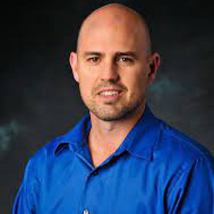
Eric Vance, statistician and professor of applied mathematics
Vance and his students partner with researchers in various academic fields—from biosciences to environmental studies—to collect, analyze and visually communicate their data.
“Every academic field that uses data could benefit by collaborating with a statistician,” Vance said. “Our specialty is getting useful information out of data and transforming evidence into action.”
For this paper, published by the Royal Statistical Society, Vance partnered with Henry Lovejoy, a history professor who studies where and when conflict occurred in West Africa, and how it affected inland migration.
“In history, we collect tons of qualitative data,” Lovejoy said. “But now we're moving beyond qualitative analysis and actually beginning to apply quantitative techniques to the data.”
Calculating conflict
Lovejoy runs CU Boulder’s Digital Slavery Research Lab, which focuses on developing and archiving open-source data and multimedia related to slavery and human trafficking.

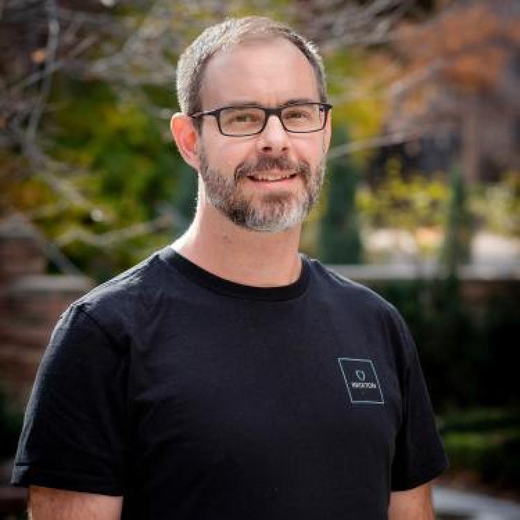
Henry Lovejoy, history professor
Using the resources he’s consolidated on his site, including the Trans-Atlantic Slave Trade and Liberated Africans databases, he gained access to detailed shipping records showing when and where people boarded slave ships on the coast.
Lovejoy then used primary and secondary sources to determine when and where instances of conflict took place and how it affected inland migration.
“We've only really been able to know where the slave ships departed, but no one has connected it inland until now,” Lovejoy said.
Unfortuantely, sources that document conflict in the precolonial period in Africa are very scarce, and those that are available are typically from the perspective of European slave traders. Maps of Africa, in the Western sense, weren’t even created until much later on in this period.
So Lovejoy had to make assumptions with the data.
“I can't emphasize enough the amount of uncertain data I’m using,” Lovejoy said. “I'm trying to be as honest as possible while developing a solid methodology of data collection.”
In the next phase of the project, Lovejoy hopes to improve the map by incorporating oral histories and ethnolinguistic data. To do so, he needs help from African universities and researchers.
Ethics in data
Lovejoy’s Digital Slavery Research Lab—framed around inclusive and reparative scholarship—recognizes the ethical implications of mapping Africa in the past.
Most historical materials during this period assign numbers to enslaved persons, and the primary sources available mostly reflect skewed, racially biased perspectives.
“Maps have the potential to be very authoritative, and that's not what we're trying to do here,” Lovejoy said. “We want to regenerate identities in a respectful and ethical framework—to do that, we need African involvement.”
Vance—who will present this work at the LISA 2020 Sustainability Symposium this May in Ghana—has already helped create 35 new statistical collaboration laboratories in developing countries, and 15 of them are in Nigeria where this project study takes place.
But Lovejoy hopes to organize additional conferences in Africa and partner with local universities to bring graduate students to Colorado to provide a better understanding of the history and geography of the continent.
“There's an inherent difference between a foreigner working on a geography versus someone local—especially in a context that's involving a very terrible history of humanity,” he said.
Through publishing his work, Lovejoy hopes its importance will gain recognition and will lead to more opportunities for funding and partnerships.


