
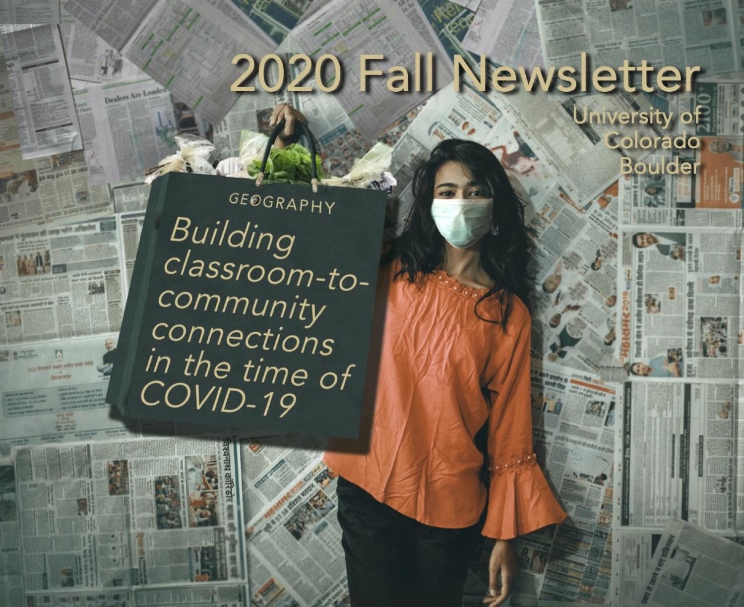
Geography Newsletter - Fall 2020
Message from the Chair
Emily Yeh, Department Chair, December 2020
Featured Articles
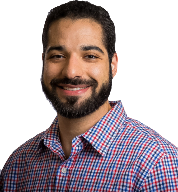
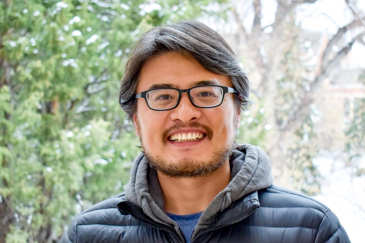
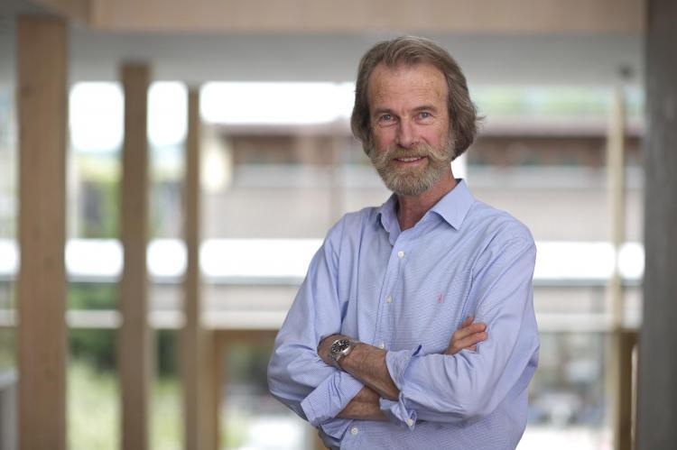
Dr. Morteza Karimzadeh
Earthcube is a growing community of scientists across all geoscience domains, as well as geoinformatics researchers and data scientists. EarthCube started as a joint effort between the NSF Directorate for Geosciences and the Division of Advanced Cyberinfrastructure, and has attracted an evolving, dynamic virtual community of more than 2,500 contributors, including earth, ocean, polar, planetary, atmospheric, geospace, computer and social scientists, educators, and data and information professionals. Through this community-driven development, many successful open-source projects have been made available to researchers and practitioners alike, and Harmonized Earth will add earth data fusion and sea ice mapping to the capabilities of EarthCube.
Harmonized Earth is a collaboration between the Principal Investigator Dr. Morteza Karimzadeh (CU Boulder Geography), Andrew Barrett (NSIDC), Walt Meir (NSIDC), Siri Jodha Khalsa (NSIDC) and Farnoush Banaei-Kashani (CU Denver Computer Science).
1Data Capabilities: Enabling Analysis of Heterogeneous, Multi-source Cryospheric Data, Award #2026962 and Award #2026865
What will you learn in this specialization? Think different definitions of geographic boundaries of the Arctic, characteristics of the Arctic lands and ocean water, how rising temperatures, declining sea ice, and thawing permafrost are affecting the landscape and its people, and how economies and geopolitics are impacted. For example, did you know that many parts of the Arctic are actually forest? Or that the Greenland Ice Sheet contains about 20 feet of potential sea level rise? Or that Russia has the largest icebreaker fleet in the world, which includes nuclear-powered ships? All this and more is discussed within the specialization!
- Course 1 - The Arctic as a System
- Course 2 - The Changing Arctic: Present, Past, & Future
- Course 3 - Arctic Change & the Nexus of Governance, Economics & Culture
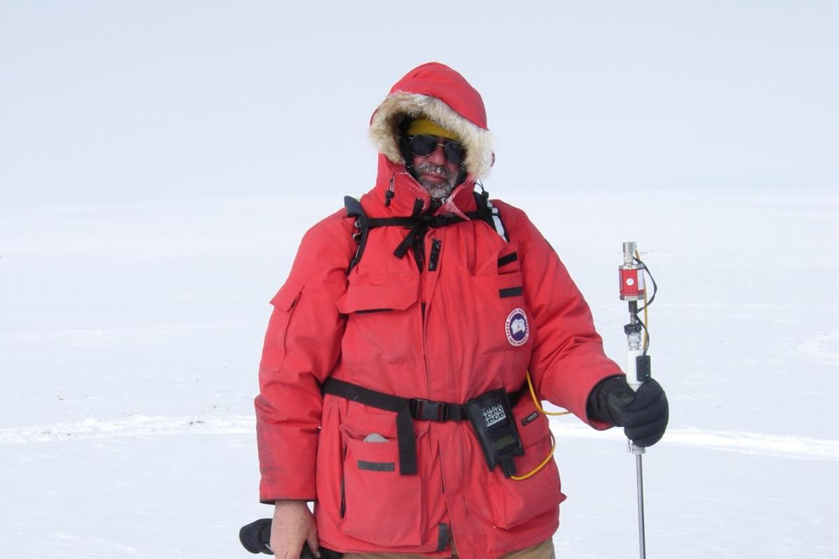
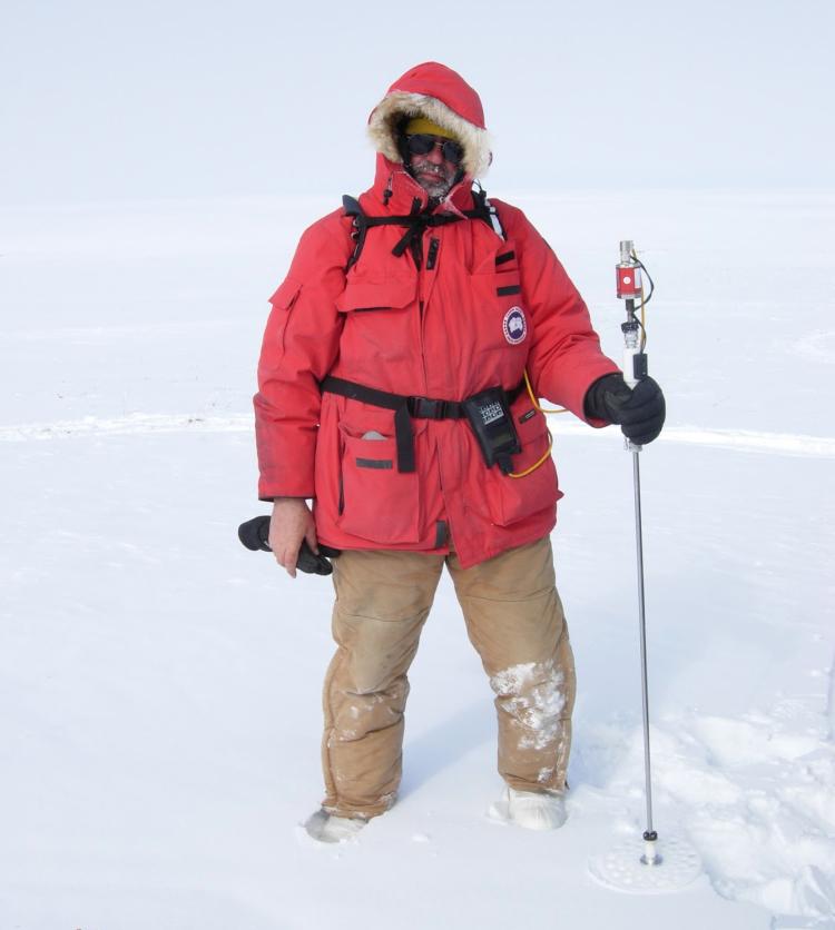
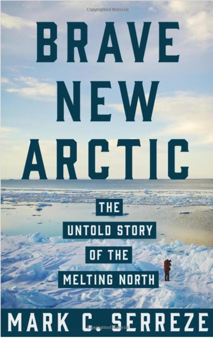
Professor Serreze serves as director of the National Snow and Ice Data Center, which is part of the University of Colorado’s Cooperative Institute for Research in Environmental Sciences (CIRES). He has taught courses in Arctic climate and environment in the Geography department for well over a decade. He first visited the Arctic in the spring of 1982 as a young graduate student, and since then, has made many trips to the region to research snow, ice caps, glaciers, tundra and sea ice. Over the years, he has personally witnessed the Arctic warming twice as fast as the rest of the globe, as it has transformed from the Arctic of old (that the explorers of the 19th century would have been very familiar with), to a very different place as it rapidly loses snow and ice. Serreze is also the author of, “Brave New Arctic: The Untold Story of the Melting North,” which describes how his experience as a scientist gave him a front row seat to climate change.
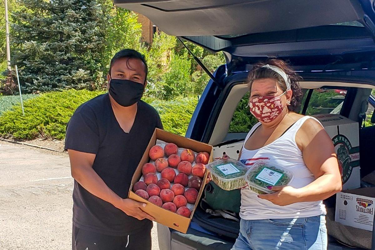
After learning about root causes of food insecurity in the United States, and the limitations of charitable food assistance, the class met with speakers from BFR to discuss their work of “redistributing produce and power” through community-led free food sites around town. Then, CU students worked in groups to conduct virtual zoom interviews with participants in BFR’s programs-- focusing their conversations on program evaluation and how the pandemic has impacted individuals’ food access. With a few class sessions of qualitative data analysis to lean on, students dived into transcription and collaborative analysis to present key findings back to BFR partners.
“I found this project to be very inspiring at a personal level, as it allowed me to learn about organizations making a positive impact on communities by hearing first-hand from participant experiences,” reflected student Jaqueline De Carrera.
Many of her classmates also reported that they really enjoyed meeting others in the community through interviews, and that the outreach project helped them feel a sense of responsibility and belonging to the broader community (including the many senior citizens they interviewed).
“In a time of social isolation, it is more important than ever to reach out to the more marginalized members of our community,” remarked Elizabeth Gilbert.
What were students most surprised to learn?
“This project challenged my notion of the progressiveness of Boulder, reinforcing that food justice is a crucial element of any community no matter its average levels of wealth,” wrote Solomon Guttmann.
They were also impressed with the mutual support and generosity that characterized how community leaders in BFR’s programs help each other through the pandemic.
“In one interview, the senior participant described how she ended up with extra food and distributed it to her college-age neighbors who were out of grocery money. This anecdote warmed my heart because it shows how interconnected we are,” related Joey Kessler.
Connection was the resounding theme of the project, and what we all could use more of these days. Community-engaged work builds connections to course concepts and to each other.
“Working outside of the classroom is really important because it helps us, university students, connect with the communities that we are a part of, and also because it gives a real-world grounding to everything we learn inside the classroom,” summarized Esmé Fahnestock.
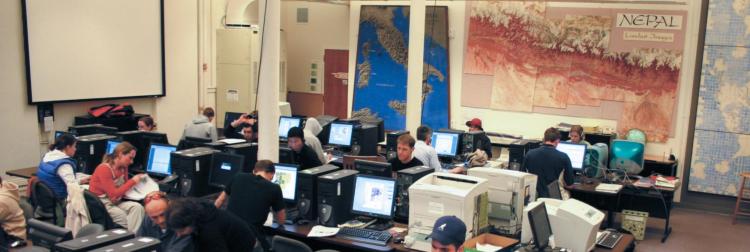
The department was and continues to be supportive of my intention to create a world-class GIS program. I began to develop and teach GIS, Cartography and Information Design, Cartographic Animation, and GIS modeling. The campus computing center (then called Information and Technology Services, or ITS) was opposed to supporting any software that could not find wide use in every computer lab on campus, in spite of our classes enrolling students from all across campus. ITS informed me in 1997 they would cancel the ARC/INFO site license because it was “too costly”, even though they were charging $395 per seat and using those funds to pay for the campus site license. At that time, a working knowledge of ESRI software was a basic qualification for any student entering the GIS job market, so without the license, our fledgling curriculum would cease to provide marketable skills to students. I contacted the GIS professors Lynn Johnston (CU Denver Civil Engineering) and John Harner (CU Colorado Springs Geography), and the three of us negotiated with ESRI for a joint CU system-wide site license at a reduced cost for all three campuses. In following years, the use of ESRI software increased so fast across campus that the cost per seat dropped steadily and today is free to all campus users, including students, faculty, College technology services such as ASSETT, campus planning offices and FACMAN, who have hired several graduates directly from our program.
Ken Erickson Spatial Data Analysis lab (KESDA) in 2004. Named in 1996 for the CU Geography professor who published research on conservation and who taught cartography for 28 years. Photo by Jim Robb.
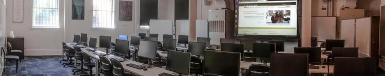
KESDA in 2020. Photo by Jeff Nicholson.
Over time, the department has added three tenure-track faculty lines and a full-time instructor to the curriculum. Course emphasis has shifted from teaching just the basic use of commercial software to emphasizing Python programming and production of open-source software tools on Jupyter and similar platforms. The curriculum now spans a dozen regularly offered courses in GIS Quantitative Methods and Spatial Analysis, with more currently under development. We regularly place students completing degrees at software companies such as MAXAR (formerly DigitalGlobe), ESRI, SUN Microsystems; at federal, state and local agencies; and in research and faculty positions at other universities. The department has a vital internship program and roughly 2/3 of the positions offered in any year request GIS and geospatial analytic skills. We receive applications from all over the world from highly qualified students wishing to pursue graduate work. GIS and geospatial data science methods are utilized by many faculty and students studying geographic applications in climate change, fire science, population growth, hydrology, biogeography, habitat degradation, war and conflict, and public health. Our GIS faculty are working to develop new tools and advanced methods to support uncertainty assessment, to build multi-scale databases, and to integrate data over space and time.
Looking back, it’s taken a quarter of a century to establish a vital curriculum. That may seem a long time, but not to anyone who has built a university-level curriculum from an essentially blank slate. Importantly, I could not have accomplished this alone. Along the way, a few valued GIS colleagues left the program, and equally valued new colleagues joined. Without the help of all of these people, the curriculum would not be, indeed could not be what it is today. As I retire at the end of this year, I am leaving much unfinished, and that’s the best way to foster future growth and advance. I hope that I have catalyzed a critical momentum that will carry our GIS program forward in productive and likely unforeseen ways in coming years.
Also see the news item in this newsletter about Babs receiving the American Association of Geographers (AAG) Distinguished Teaching honors for her career-long devotion to GIScience education. -- Editor
Department logo with a nod to the GIS curriculum Babs developed.
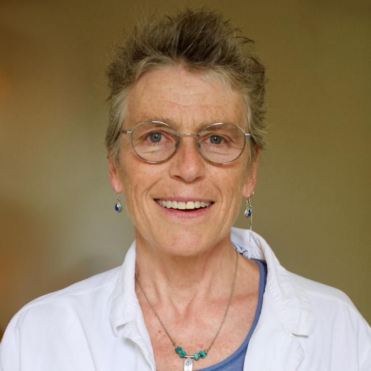
New Faculty
My research is characterized by an interdisciplinary perspective on geographic information science driven by the advances of spatial Big Data (e.g., social media and remote sensing), machine learning/artificial intelligence, and computational sciences. The overarching goal is deep learning of heterogeneous geographic information to support uncertainty-aware geographic knowledge discovery and decision making. Particularly, I focus on the development of statistical/machine learning and computational methodologies to integrate heterogeneous sources of geographic information for complex spatiotemporal patterns. I am particularly interested in characterizing and modeling geospatial biases and uncertainty of geographic information and the associated impacts in scientific applications and practical decision making. I also develop methods and tools to address the computing challenges that arise when the data scales and computation complexity are not manageable with regular computers. I work closely with domain scientists to build geospatial cyberinfrastructure to tackle domain challenges, with a particular focus on natural hazards, environmental sciences, public health and global changes. My research has been supported by several funding agencies, including NSF, USGS, NIST, USAID, USDA and NIH.

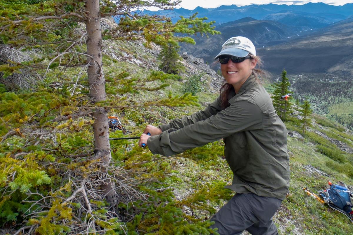
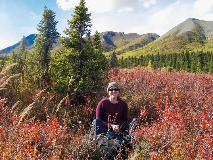
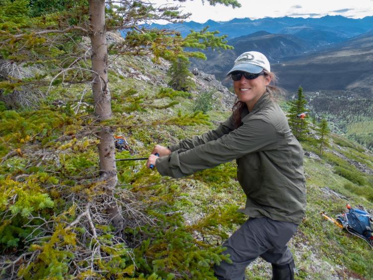
As an undergraduate at the University of Hawai’i – Hilo, I had the opportunity to participate in research examining the succession of vegetation after lava flows. During my Master’s at Texas A&M University, I used a combination of field and GIScience skills to explore the impacts of ice storms in Virginia and Arkansas. This research and improving my technical skills helped me get a full-time position in GIS environmental compliance before I even graduated. While working full-time, I missed academic research and the opportunity to learn new skills. I leapt at opportunities when invited to join research expeditions examining the roles of fire and climate change in Mount Rainier National Park, WA and Denali National Park, AK. My career and these expeditions helped solidify how valued physical geography and technical skills were across private, government, and academic industries.
I completed my Ph.D. work at Pennsylvania State University in the Department of Geography. My doctoral work examined the spatial and temporal impacts of climate change on treeline in Denali National Park and Preserve, Alaska. At Penn State, I was also given the opportunity to teach my first courses and discovered how much fun I had communicating my passions to others. My research interests in biogeography, climate change, GIScience, remote sensing, and spatial statistics have led me to conduct research in several international and domestic locations including Scotland, Nicaragua, Alaska, Arkansas, Hawai’i, Washington, and California.
Though I have taught the Remote Sensing of the Environment course for CU Boulder in the past, I am really excited to join the Department of Geography and Continuing Education full time. I look forward to working with undergraduate and graduate students in this amazing interdisciplinary field of study.
Photos are of me conducting field research in Denali National Park and Preserve, Alaska
Alumni Updates and Department News
Department News
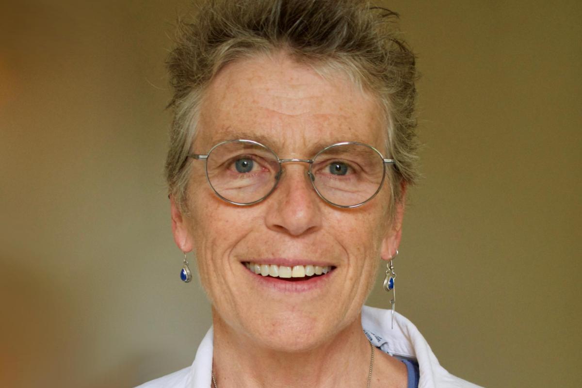
Babs Buttenfield Awarded Distinguished Teaching Honors
Congratulations to Babs Buttenfield on receiving the American Association of Geographers (AAG) Distinguished Teaching Honors for her career-long devotion to GIScience education. It is a well-deserved honor and a fitting conclusion to her teaching career. She is retiring at the end of December 2020. Buttenfield, who established one of the first campus curricula in GIScience, is renowned for her engaging teaching style, remarkable ability to explain complex concepts through example and metaphor, and skill at blending theory with technical skills. In a rapidly evolving field, she delivers courses that are at the cutting edge of GIScience.
Since 1951, AAG Honors have been offered annually to recognize outstanding accomplishments by members in research and scholarship, teaching, education, service to the discipline, public service outside academe, and for lifetime achievement. The AAG Honors Committee is elected by the AAG membership and charged with making award recommendations for each category, with no more than two awards given in any one category. For more than 100 years, The American Association of Geographers (AAG) has contributed to the advancement of geography. Our members from nearly 100 countries share interests in the theory, methods, and practice of geography, which they cultivate through the AAG's Annual Meeting, scholarly journals (Annals of the American Association of Geographers, The Professional Geographer, the AAG Review of Books and GeoHumanities), and the online AAG Newsletter. The AAG is a 501(c)3 nonprofit organization founded in 1904.
Economic Aftermath of the Virus in Colorado
Emily Yeh Elected Vice President of AAG
Emily Yeh, Geography Department Chair, was elected Vice President of the American Association of Geographers (AAG) earlier this year. Her term started July 1, 2020 and will be followed by a year as president of the association and a year as immediate past-president.
Holly Barnard, Katherine Lininger NSF Grant
Geography professor Holly Barnard is the Principal Investigator and Geography Professor Katherine Lininger, with Eve-Lyn Hinckley, are the Co-Principle Investigators on a new 5-year $6.9M NSF grant to study the Critical Zone in the American West. Critical Zone Observatories have done a lot of work discovering and quantifying fundamental critical zone processes. But how do those processes integrate and affect each other? That’s the next frontier for critical zone research, and this project jumps right in. The researchers will look at how water, trees, soils, and rocks interact and change each other in the fire- and drought-prone landscapes of the American West. Their discoveries will uncover links between how water is stored in the landscape and how that affects key processes in forest ecology, rock chemistry, and soil chemistry. Further, they will help predict how climate change will modify these interactions and change water and therefore life in the West.
Colleen Reid Emerging Scholar Award
Professor Colleen Reid was awarded the Emerging Scholar Award from the Health and Medical Geography Section of the American Association of Geographers.
Yaffa Truelove CU Research and Innovation Seed Grant
Professor Yaffa Truelove received a CU Research and Innovation Seed Grant, together with co-PIs Geography Professors Katherine Lininger and Azita Ranjbar, “Adapting to the ‘Waterless’ City: The Production of Extreme Water Scarcity in Shimla, India.” The project will be a comparative study of waterless cities across South Asia, including Chennai, Latur, and Bangalore. It will assess feedback loops between socio-political and biophysical mechanisms that produce extreme forms of urban water scarcity and insecurity.
Deep Learning in Geospatial Uncertainty Modeling
Dr. Guofeng Cao received $265,058 in funding from National Science Foundation for the project "Deep Learning in Geospatial Uncertainty Modeling'. With this support, Guofeng will develop a new deep learning-based spatial statistical framework to address long-standing problems in geospatial analysis, including complex geospatial patterns, geospatial heterogeneity and geospatial uncertainty. This project will offer novel solutions to fundamental analysis, modeling, and integration problems involving geospatial data, and advance the understanding of the nature of geospatial uncertainty. This project will enhance the proper and cost-effective utilization of geospatial data, and will have broader impacts on disciplines in which geospatial data are involved. Furthermore, with a public outreach component on uncertainty-aware spatial thinking, this project will advance the public good by increasing the public awareness of geospatial uncertainty and critical map reading and usage. The performance of the developed methods will be evaluated in two domain applications: spatiotemporal disease mapping in public health and modeling uncertainty of land cover changes and the impact on atmospheric models.
Seth Spielman
Seth Spielman served on the National Academy of Science's Committee on National Statistics working group on privacy and the US Census.
Dr. Spielman also joined the Scientific Advisory Committee for Oak Ridge National Labs Geospatial Science and Human Security Division; Georgia Tech's External Data Advisory Committee; and was appointed to CU Boulder's Idea Council which is charged with implementing strategies to transform the CU Boulder community to make it more equitable, diverse, and inclusive.
 Former CU Geography Professor Konrad Steffen Passed Away in Greenland
Konrad Steffen, former CU Geography Professor and Director of the Swiss Federal Institute for Forest, Snow and Landscape Research (WSL), died following an accident on the Greenland ice sheet this past August (August 8 2020). Konrad ("Koni") Steffen was a professor in the CU Geography department from 1990-2012, as well as Director of the Cooperative Institute for Research in Environmental Sciences (CIRES) from 2005-2012. He had been conducting reserach into climate change - notably in the Arctic and Antarctic - for over 40 years and was regarded as one of the world's leading authoirities in the field. At the time of the accident he was at research station called "Swiss Camp" that he had founded thirty years ago.
With Koni Steffen's death, the world's climate research community lost an extremely prominent researcher who was also a uniquely kind and committed man. Geography Professor and CIRES Director Waleed Abdalati, who earned his PhD under Steffen, noted, "For those who knew Koni, you will appreciate that he was in a place he loved, doing exactly what he loved. The first time I went to Greenland with him as a graduate student, I remember when the helicopter landed and he got out. He leaned back with arms outstretched, smiling up at the sky, as if he was just drinking and savoring the cold Greenland air. He will be missed."
Born in 1952, Konrad Steffen was a dual Swiss and American citizen. Having studied natural sciences, he gained a doctorate from ETH Zurich in 1984. After serving as a professor in the Department of Geography from 1990-2012, he returned to Switzerland, where he was Director of WSL as well as Professor for Climate and Cryosphere at ETH Zurich and at EPFL in Lausanne. The Geography department expresses our heartfelt condolences to his family and friends.
Also see:
WSL Director Konrad Steffen fatally injured in Greenland accident (Original article)
Former CIRES Director Konrad Steffen Dies in Greenland Accident (CIRES tribute)
Waleed Abdalati Elected American Association for the Advancement of Science (AAAS) Fellow
At the end of last year, Professor Waleed Abdalati was elected as an American Association for the Advancement of Science (AAAS) Fellow, a lifetime distinction honoring invaluable contributions to science and technology.
Jennifer Balch NSF CAREER Award
Also in 2019, Professor Jennifer Balch received a prestigious, five-year National Science Foundation CAREER award, “Fire impacts on forest carbon recovery in a warming world: Training the next generation of Earth analysts by exploring a missing scale of observations.” The project addresses the fact that forests in the western U.S., which are important in regulating the amount of carbon in the atmosphere, are burning more rapidly with the increased extent and number of wildfires. As a result, the amount of carbon stored in these forests has decreased significantly. The project uses innovative remote sensing and ecosystem carbon measuring techniques to advance understanding of when forests shift from carbon sinks to carbon sources under changing fire regimes.
Alumni Updates
Update from Steven Drake, BA 2010
I am living in Kentucky, and working for the Kentucky Transportation Cabinet. I am currently the Lead Cartographer for the Official Highway Map of the Commonwealth of Kentucky. I took this position in early 2019 and finished the 2020-2021 Official Highway Map.
An elective class in Geography opened my eyes and mind to how people relate to their surroundings, and the ways that can be visually represented. While my degree allowed me to begin a career progression that has taken me to where I am now, it was my education in Geography, and the passion shared with the people around me, that has truly impacted me.
Joe Tucillo, PhD 2020
Joe Tuccillo, who recently received his PhD from the department, has joined Oak Ridge National Lab as an R&D Associate Research Scientist in the Geospatial Science and Human Security Division. Joe completed a dissertation on generating high resolution synthetic populations for measuring hazard vulnerability, exposure, and response.
Sarah Tynen, PhD 2019
Sarah Tynen completed over two years of fieldwork in Xinjiang, China. After working for over a year for CU Boulder's Graduate School and helping other graduate students in writing their dissertations and grant applications, she joins the Czech Academy of Sciences in Prague as a post-doc in the Oriental Institute's Chinese ethnic policy research group. Sarah is involved in advocating for an end to the Uyghur human rights crisis in China, where Uyghur Muslims--including cultural and intellectual leaders--are being detained in large numbers. Sarah's research, reported in the CU Arts and Sciences Magazine explores how authoritarian actions can trickle down to shape peoples’ everyday lives, and how human beings push back in small but sometimes powerful ways.
Carol Harden, PhD 1983
Professor Emerita Carol Harden of the University of Tennessee, an alumnus of this department was recently awarded the AAG Lifetime Achievement Honors for her career of research, teaching, and service to the discipline of Geography. She was also named an AAG Fellow last year.
Michelle Olsgard Stewart, PhD 2014
Michelle Olsgard Stewart, recently became the Executive Director of the Yampa Valley Sustainability Council in Steamboat Springs, CO. In this position she will develop and lead climate action programs in the community.
We realize that COVID19 and its effects have been hard on everybody. However, if you are in a relatively resilient financial situation, your support now will go a particularly long way for those who are most precarious and who have been most severely affected, including some of our students.
Your gift to the Department of Geography can take many different shapes. The information below may help you find the type of gift that best meets your needs, the impact you want, and the way you want to give. The CU Foundation can also assist you with your needs, be they for targeted or unrestricted programs.