

Field areas
Overview images

The Mountain Research Station campus looking west toward the Indian Peaks (photo: Gabe Allen).


Map of field areas
esearch at the station is conducted in three main areas: the Columbine Springs Reserve (190 acres), the Niwot Ridge Special Research Area (1775 acres), and the City of Boulder's Silver Lake Watershed (6500 acres). Within a 4 mile (6 km) radius of campus, researchers have access to a multitude of vegetation types, including ponderosa pine, lodgepole pine, aspen, and spruce-fir forests, montane and subalpine meadows, alpine tundra, streams, lakes, small ponds, and riparian corridors. Geomorphic features, both glacial and periglacial, are abundant in the upper elevations. The southernmost glacier in the Rocky Mountains, Arapaho Glacier, is located in the City of Boulder watershed.

Map of the three main research areas for the Mountain Research Station. For scale, the distance from the station campus to the Tundra Lab on Niwot Ridge is about 4.4 miles (7 km) by road and trail to the northwest.
See a higher resolution version of this map (PNG)
See another version of this map with fewer labels (PDF)
Columbine Springs Reserve
190 acres
(77 hectares)
~150 football fields
~9,250 - 9,900 ft
(~2820 - 3020 m)
elevation range
CU Boulder
ownership
& management

A very full Como Creek in the early summer (Photo: Scott Taylor).
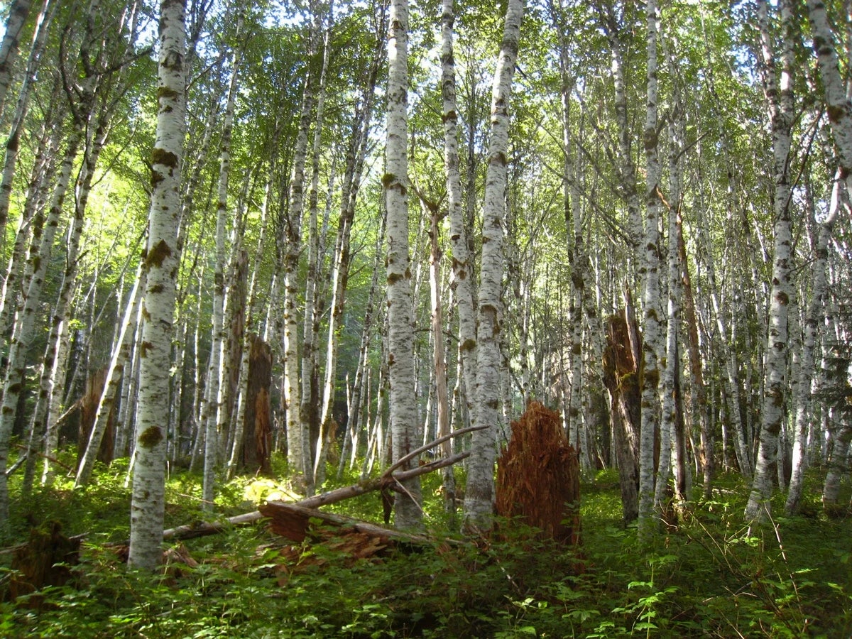
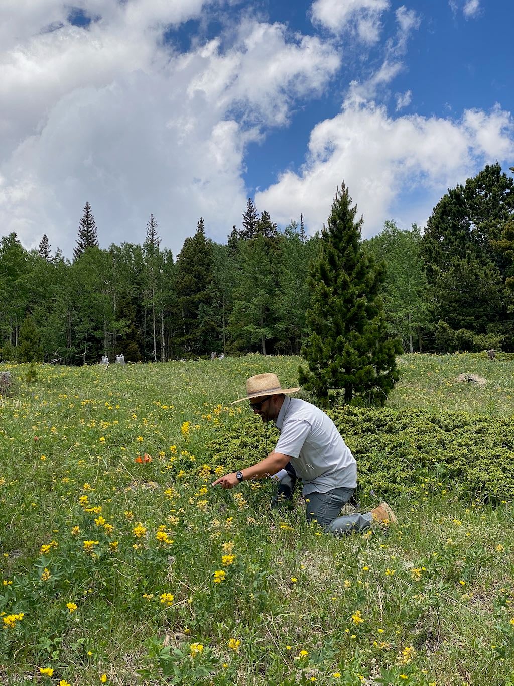
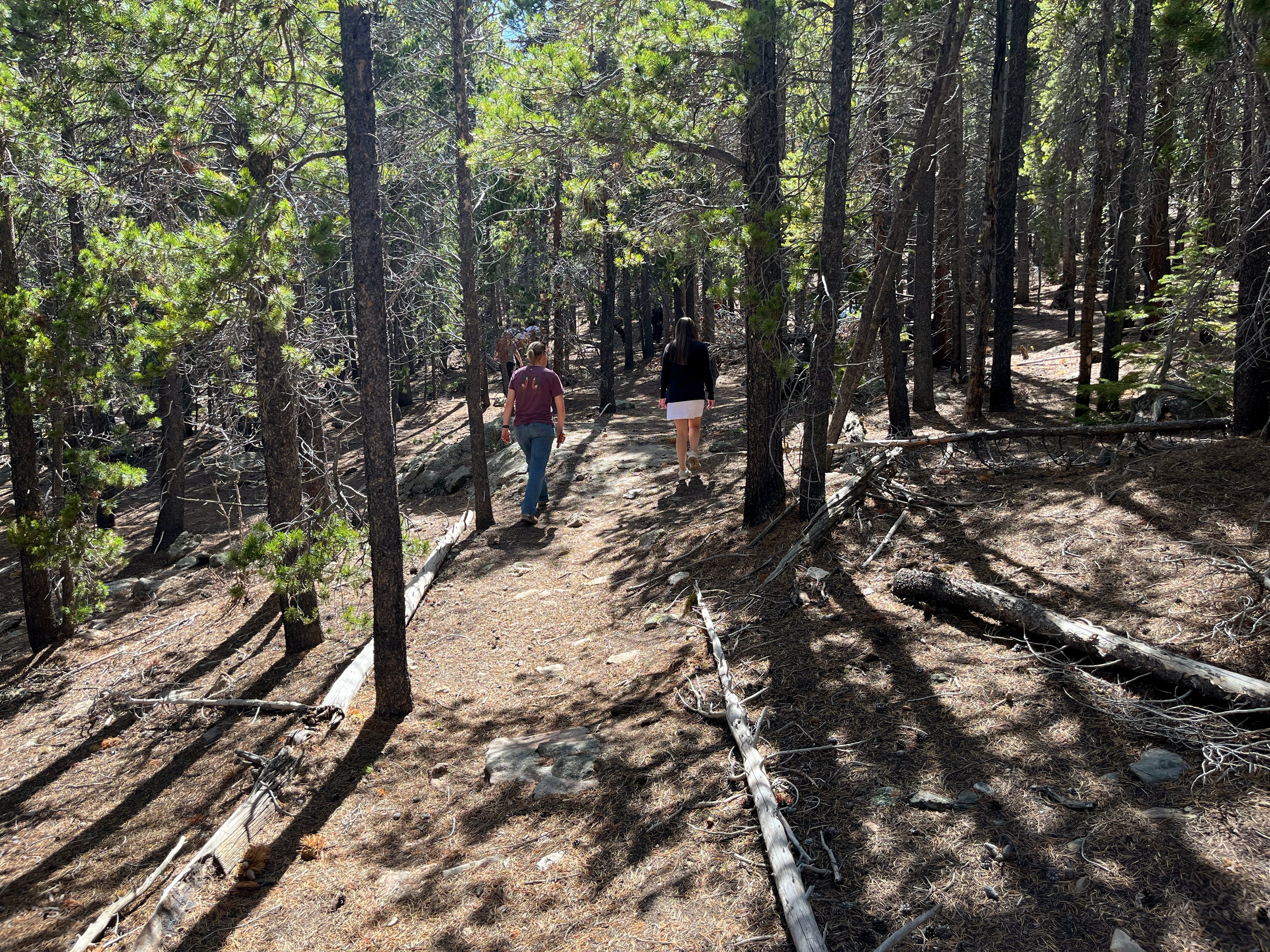
The Columbine Springs Reserve is the university's protected landscape surrounding the campus of the Mountain Research Station. The reserve, in turn, is bordered by the Roosevelt National Forest, and consists of lodgepole pine and aspen stands, grassy meadows, and the riparian zones of Como Creek and smaller drainages. Visitors are welcome to experience portions of this remarkable landscape through self-guided interpretive trails and naturalist-led excursions while helping preserve the natural conditions that make it such a valuable living laboratory.






Niwot Ridge Special Research Area
1,775 acres
(718 hectares)
~3 square miles
~9,750 - 12,400 ft
(~2970 - 3780 m)
elevation range
USFS
management

A team of researchers hike up Niwot Ridge, with the Indian Peaks behind them (Photo: Niwot Ridge LTER)
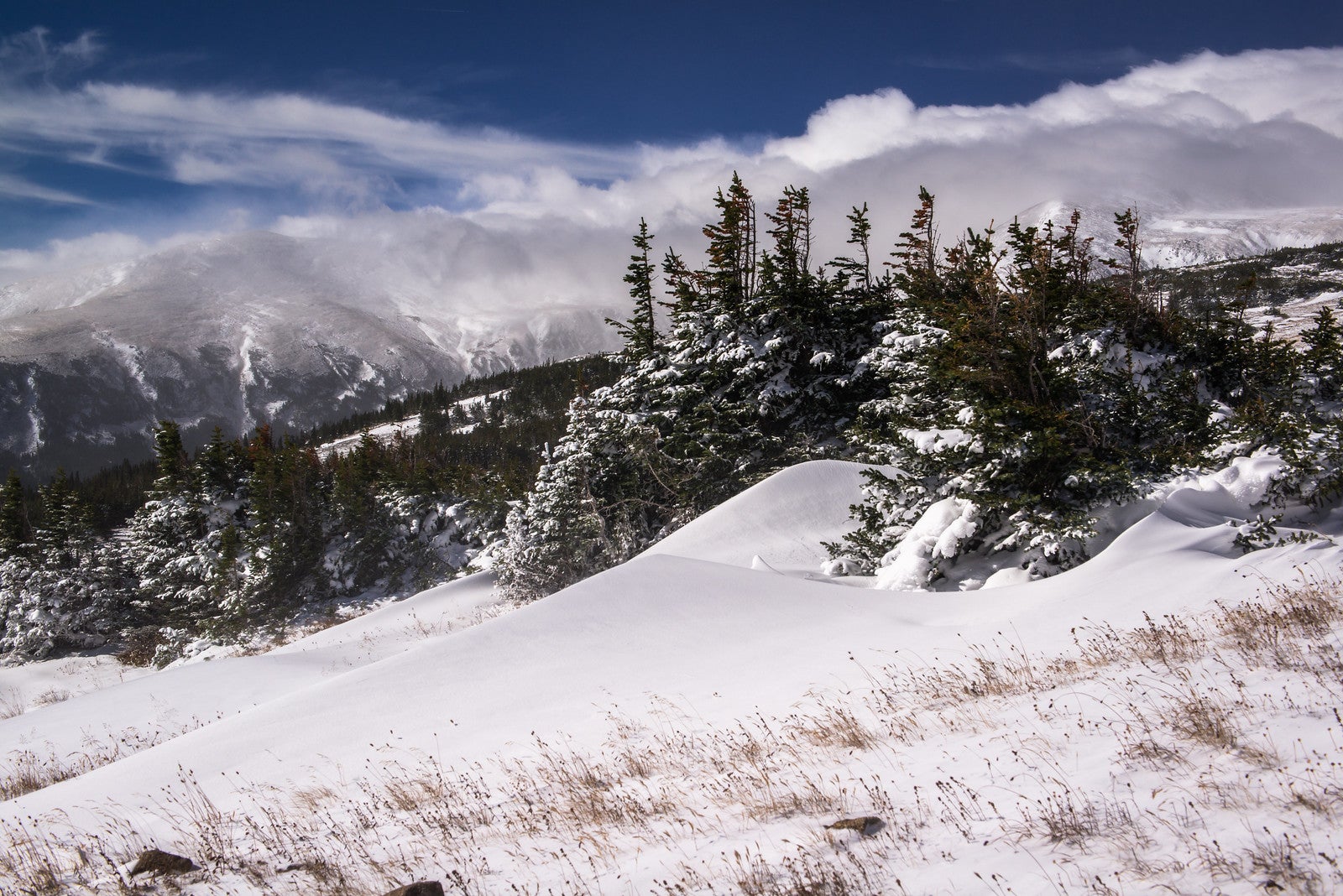
The Niwot Ridge Special Research Area, managed by the U.S. Forest Service (USFS), is dominated by the east-west trending Niwot Ridge but also includes part of the lower lying Como Creek valley. The ridge itself starts about 1000 ft below Navajo Peak (13,409 ft / 4087 m) off the Continental Divide and extends above the treeline well to the east. Manipulative research is allowed in the area with the approval of the USFS and MRS, a process facilitated by a management plan negotiated in 1998.
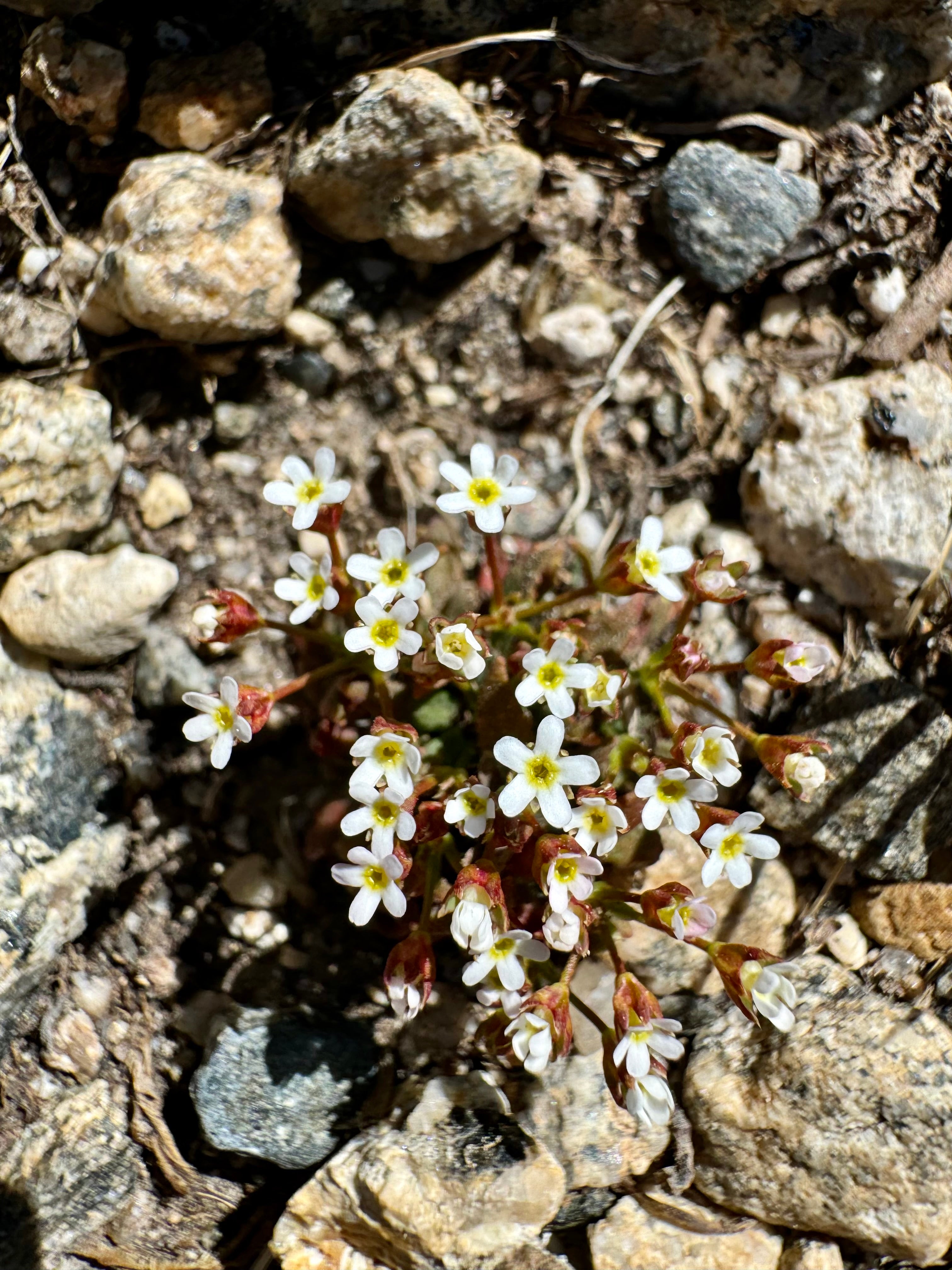
Within the area, you’ll find many of the alpine and montane ecosystems available in the southern Rocky Mountains, including alpine tundra, subalpine coniferous forests, glacial moraines, talus slopes, patterned ground, and permafrost.
Key sites on Niwot Ridge

For scale, the distance from the Marr Lab on the station campus to the Tundra Lab on Niwot Ridge is about 4.4 miles (7 km) by road and trail to the northwest.


Elevation: 12,267 ft (3739 m)
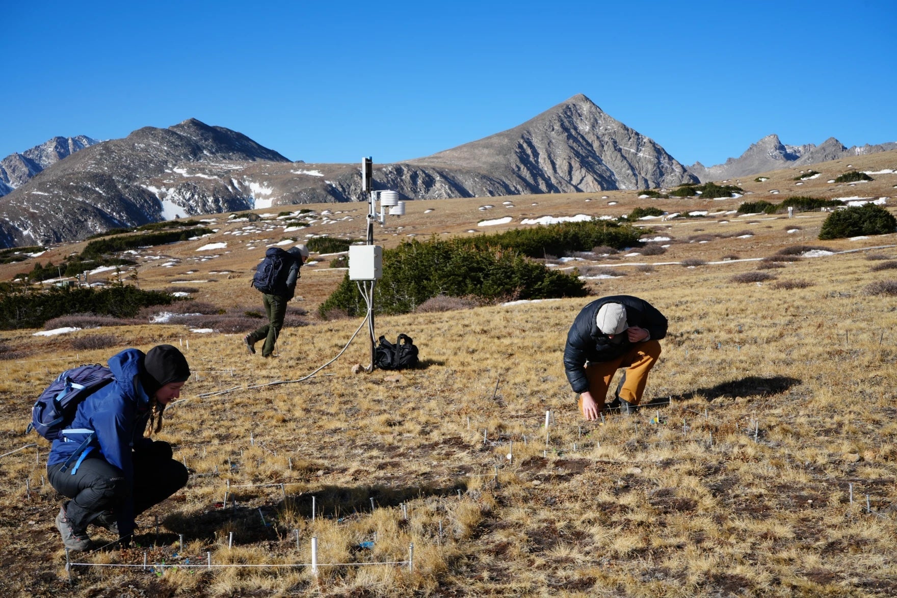
D1 is an alpine tundra site located 1.6 miles (2.6 km) east of the Continental Divide. This is the highest continuously operating weather station in North America. Topographic setting: ridge-top. Climate data completeness is good from 1953 to the present. Climate parameters measured include air temperature, relative humidity, solar radiation, barometric pressure, wind speed, wind direction, precipitation, soil moisture, and soil temperature.

Elevation: 11,575 ft (3528 m)
The Niwot Ridge saddle is located 3.5 miles (5.6 km) east of the Continental Divide. The area is located along a ridge-top, but in a shallow saddle between the east and west knolls. There is a 10,000 sq ft tundra laboratory on the south side of the saddle, which serves as a staging area for research in all weather conditions. A full complement of climate parameters are measured at Saddle.

Elevation: 9915 ft (3022 m)
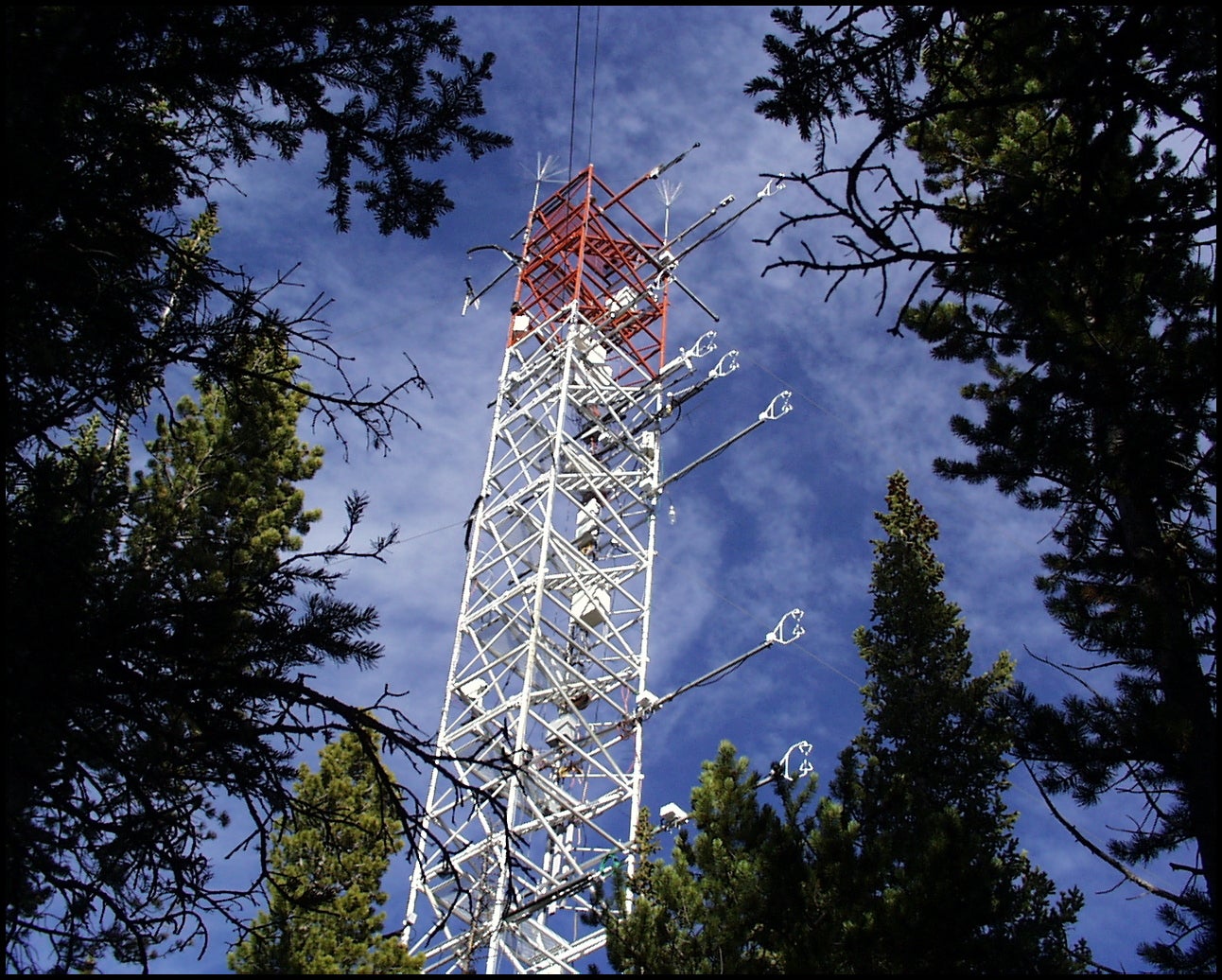
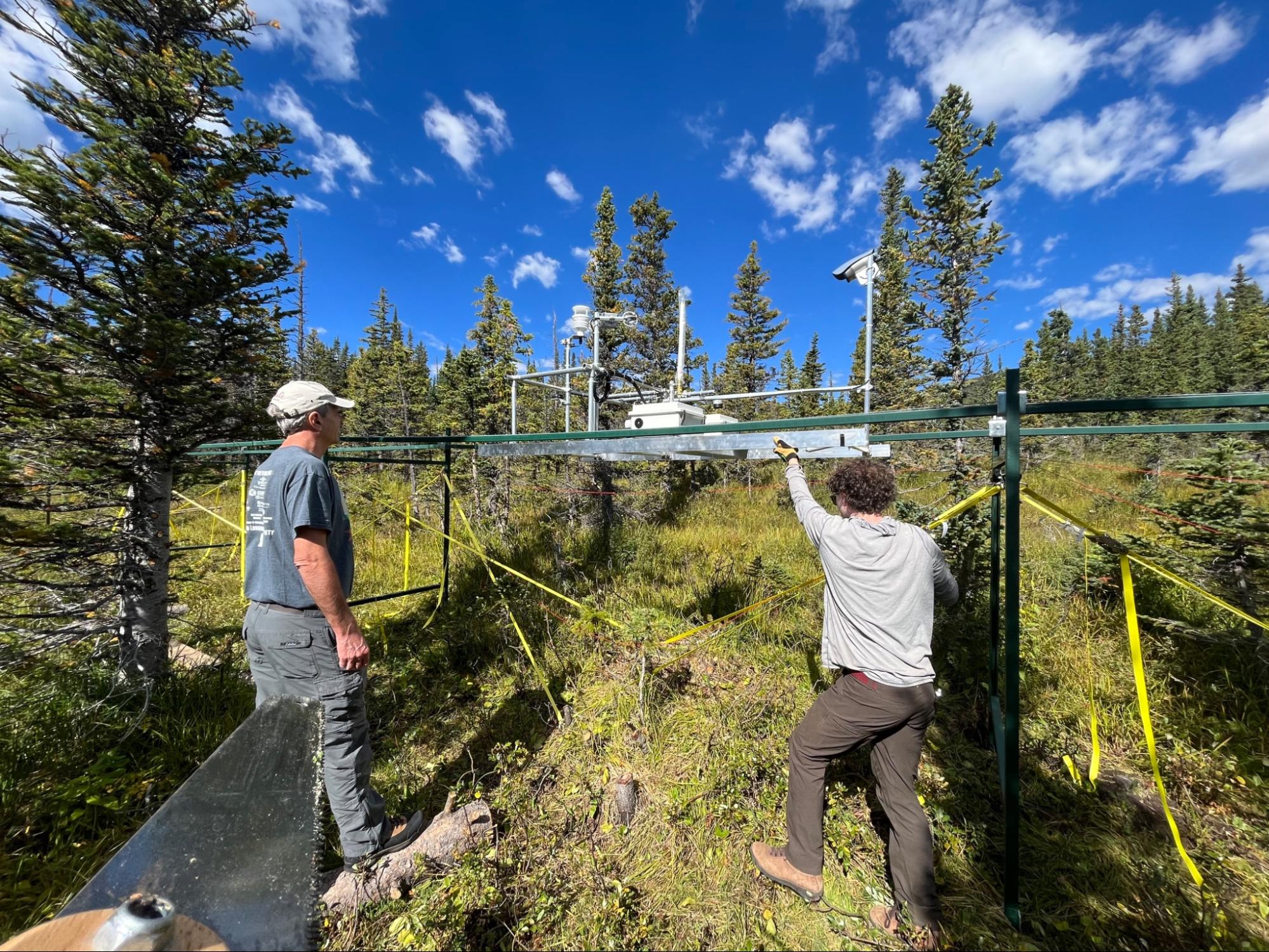
The C1 climate station is located on a ridge-top in a subalpine forest 6 miles (9.7 km) east of the Continental Divide. Climate data exist from the C1 station for 1953 to the present, and include air temperature, relative humidity, solar radiation, barometric pressure, wind speed, wind direction, precipitation, soil moisture, soil temperature, and snow depth.










City of Boulder Watershed
CLOSED TO PUBLIC ACCESS
Trespassers will be fined
~ 6,500 acres
(2630 hectares)
~10 square miles
~9,800 - 13,500 ft
(~2990 - 4115 m)
elevation range
City of Boulder
ownership
& management

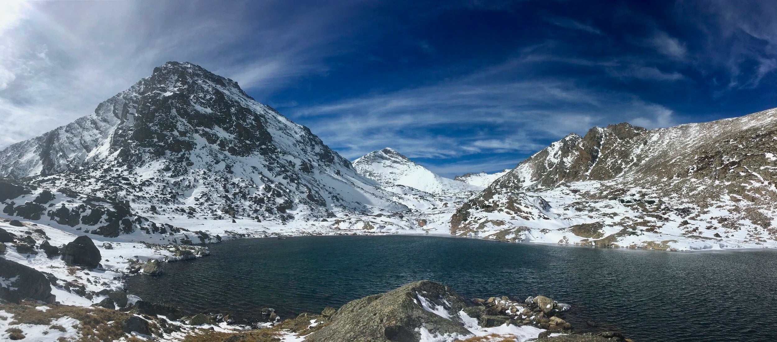
Green Lake 4 (Photo: Kelly Loria)
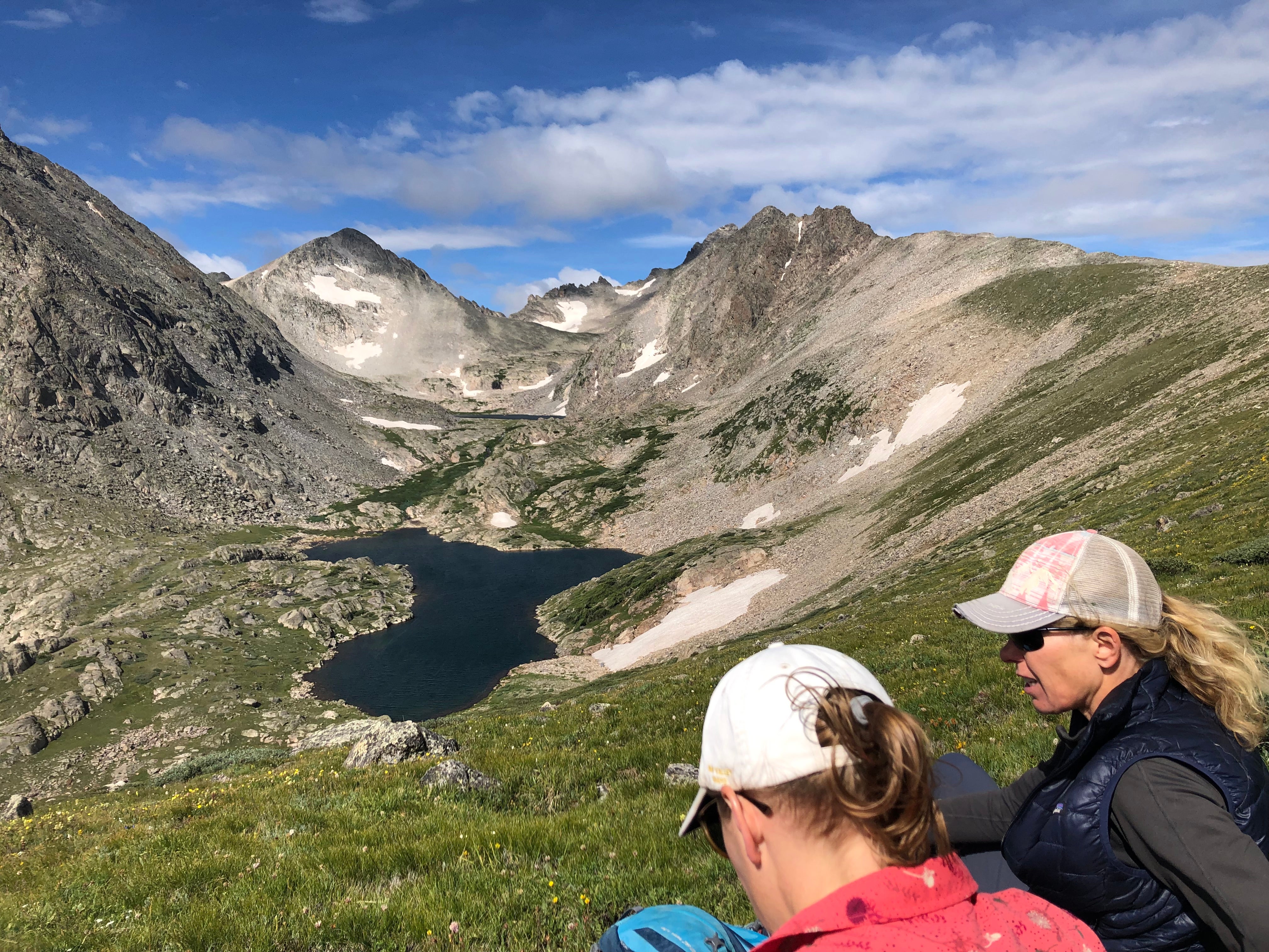
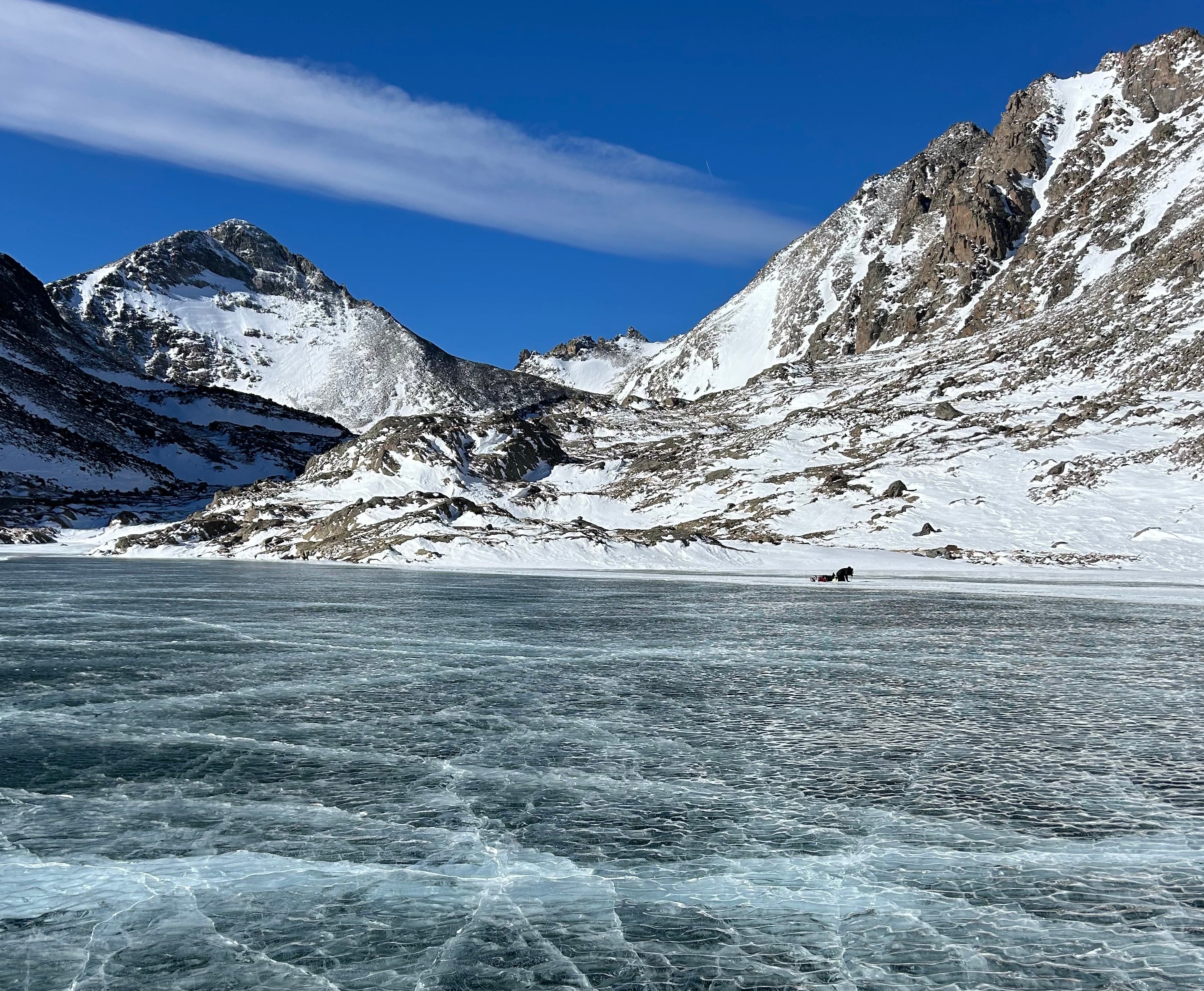
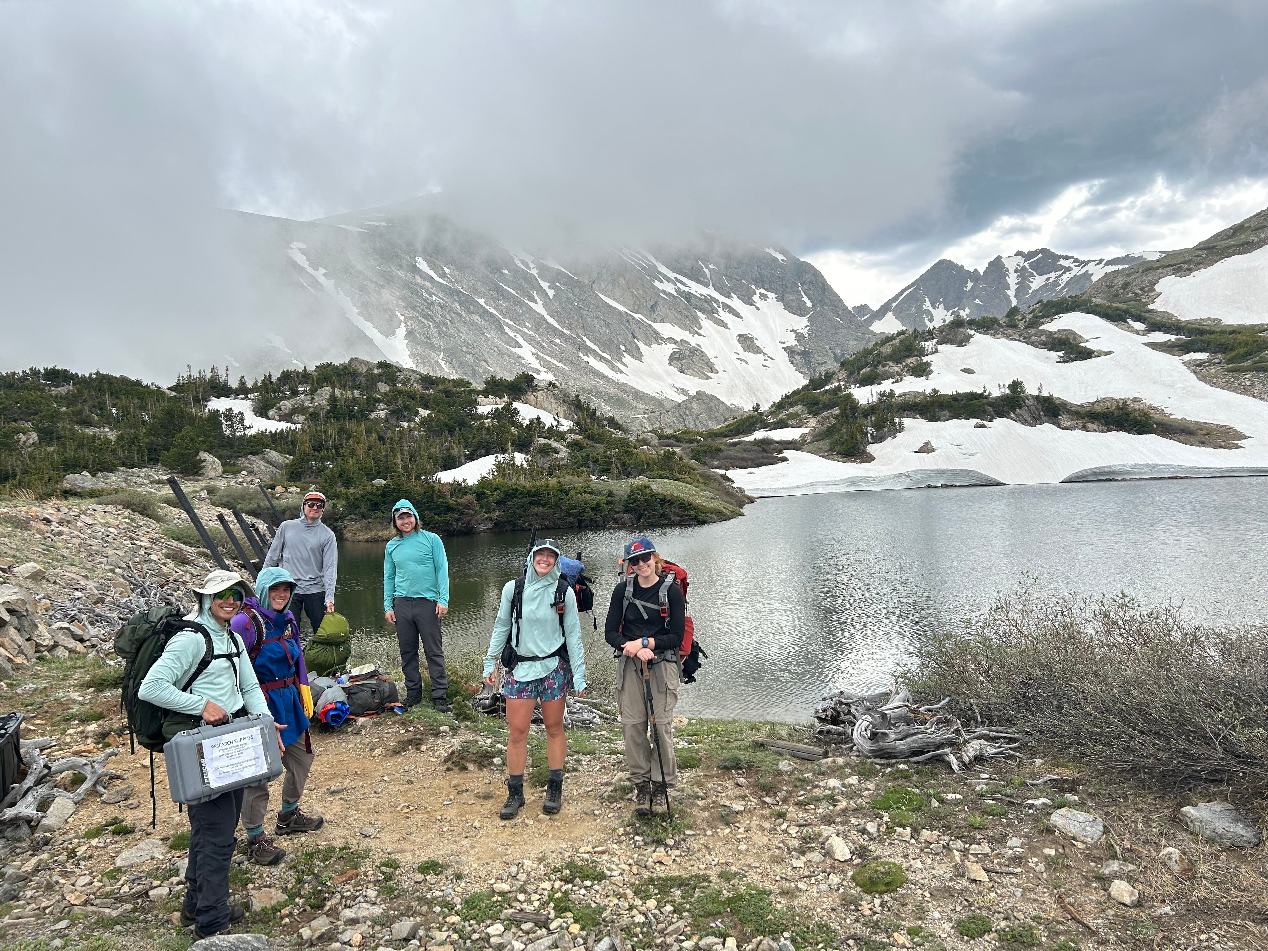
In 1929 the U.S. Congress deeded most of the land in the Silver Lake Watershed to the City of Boulder specifically for water supply purposes. The watershed contains 13 reservoirs and natural lakes that are fed by snowmelt and the melting of the Arapaho and Arikaree glaciers. This high-quality water supply was sufficient to meet all of Boulder’s water needs until the 1950s. Today, about 40% of the city’s water supply is derived from the Boulder watershed basin. In the 1930s, the University of Colorado began sensitive ecological and climate research in the Green Lakes Valley within the watershed. To protect water quality and to preserve the fragile alpine environment, the City of Boulder Watershed is closed to public access.
The Mountain Research Station assists the City of Boulder in regulating research access to the watershed. Among other restrictions, researchers applying to do research in the watershed must demonstrate why the research cannot be done elsewhere.
Reminders from Eric Johnson, Watershed Manager (City of Boulder):
Access is limited to permit holders
- If you do not have a Watershed research permit you are not allowed in the City of Boulder Watershed.
- Violators will be issued a trespass summons under City Code 11-1-11; the maximum fine is $1000.00.
- Trespassing damages our relationship with the City of Boulder Watershed and this violation may restrict future access.
- The Watershed boundary is marked with a fence in some areas and in other areas is marked with signs. It is your responsibility to know if you have crossed over the boundary somewhere. Please pay attention to your location when on the Ridge.
Behavior within the Watershed
- You must carry a photo ID with you at all times in the Watershed.
- You may not bring anyone into the Watershed who is not on your permit.
- You may not conduct research in the Watershed on Weekends or Holidays.
- You may only travel to the area of your permitted research.
- Drive Slow! Use 4WD at all times to maintain roads.
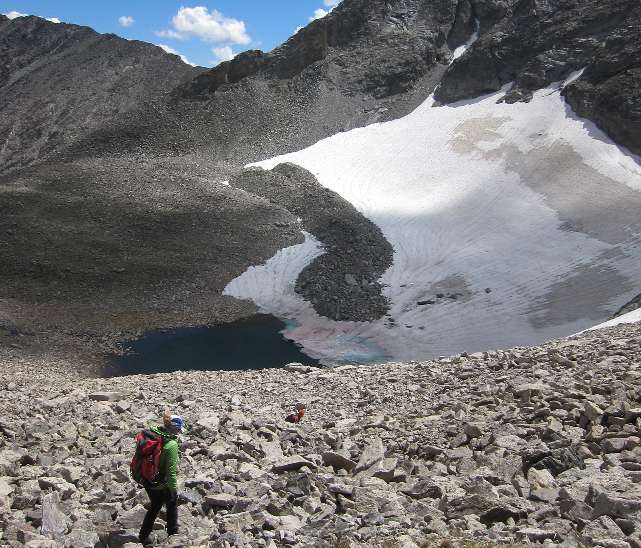
Within the watershed, you'll find all of the alpine and montane ecosystems available in the southern Rocky Mountains. In addition to those listed above for the Niwot Ridge Special Research Area, there are also several small cirque glaciers and a string of alpine lakes, many dammed by glacial moraines.
Key features in the Boulder Watershed

Mean Elevation: 12,434 ft (3790 m)
The 22-acre (9-ha) Arikaree glacier sits at the head of the valley and is the source of North Boulder Creek. The outflow of the Arikaree glacier drains into Green Lakes 5. Air temperature and solar radiation near Arikaree Glacier were logged from 1986 to 2006.

Mean Elevation: 12,287 ft (3745 m)
The continental, high mountain climate of the Green Lakes Valley (GLV) has been recorded continuously at the nearby D1 meteorological station on Niwot Ridge for over 60 years and for shorter periods on the valley floor. South-facing slopes are warmer than north-facing slopes, which are underlain by discontinuous permafrost. Almost 80% of the approximately 1000 mm of recorded annual precipitation falls as snow.

Mean Elevation: 10,663 ft (3250 m)
The Albion site is located below treeline, on the valley floor at the eastern end of the Green Lakes Valley. Albion is a former mining townsite.
Closed to the public
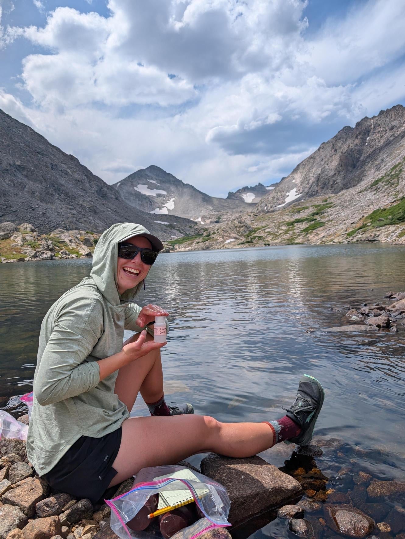
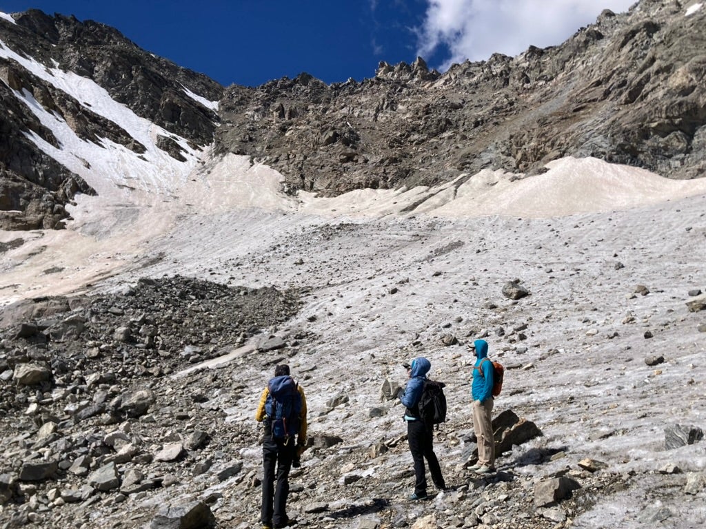
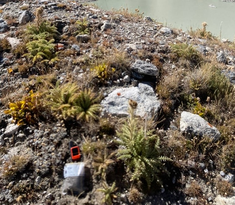
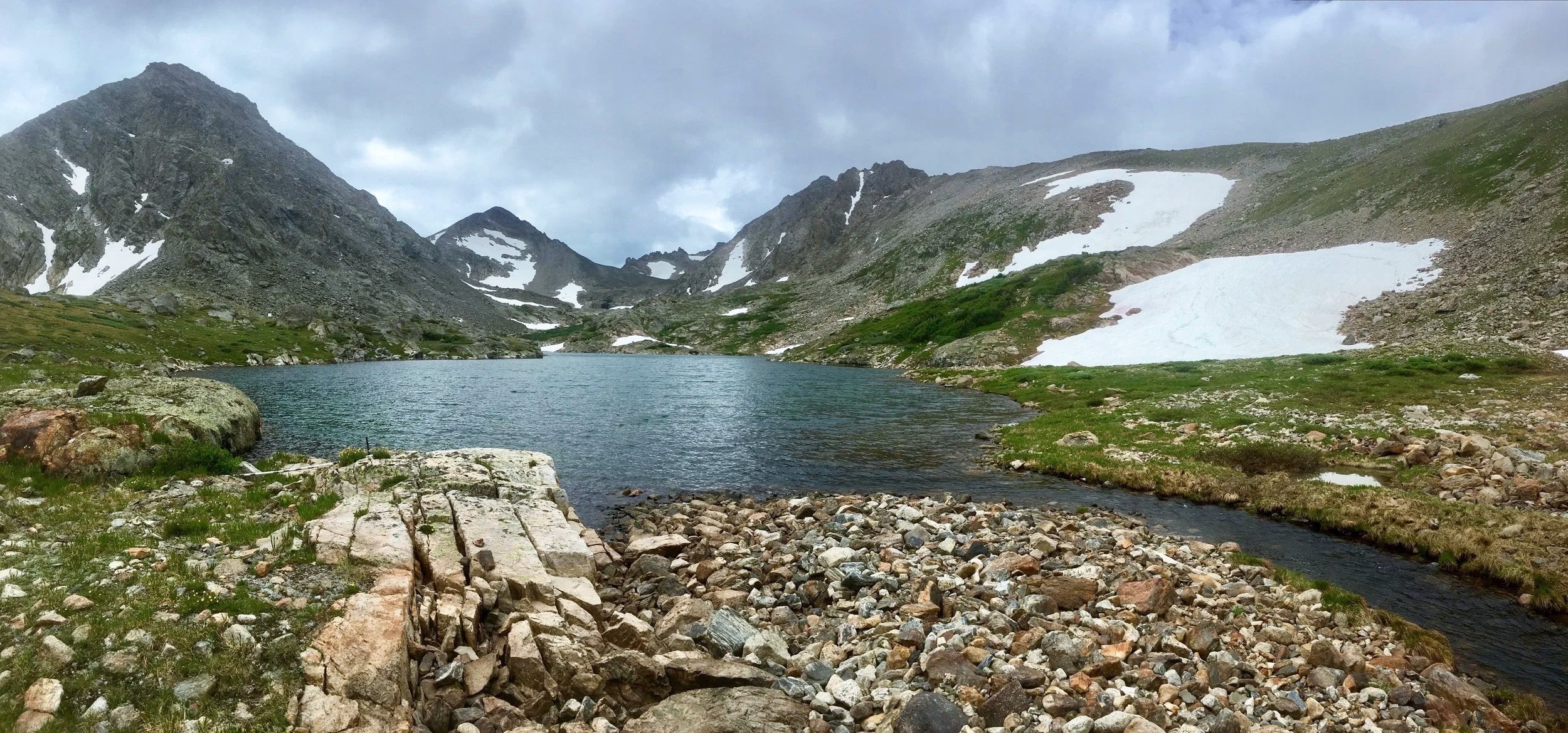
The City of Boulder watershed is a protected water supply area closed to public access. The below images were captured under permitted research only; visitors should not attempt to enter. Any trespassing violations are subject to fines.








Topographic maps
Want to see more of the topography in and around the study areas?
Click a map to Zoom (Use the back button to return here)


Want to see more research?
Find out how the station makes an exceptional, supported natural laboratory for studying how mountain systems function and respond to change.