
Home
Other CU Maps
The links below are for the public facing CU Boulder campus map, managed by Strategic Relations and Communications. Our office does not manage this tool, but it displays geospatial data from our office. To learn more or report an issue, refer to the About the Map page here.
Error Reporting
We welcome your help! If you notice an error on any campus map or floor plan, please fill out our error reporting webform or contact us.
Focus Areas

Geographic Information System (GIS)
Using the drawings submitted by designers or by surveying campus with GPS equipment we maintain a GIS data base that contains a map of campus buildings, roads, sidewalks, utilities, and so much more. Our goal to is provide "a single point of truth" for geospatial entities on campus and provide all of campus with accurate and consistent maps.
Floor Plans
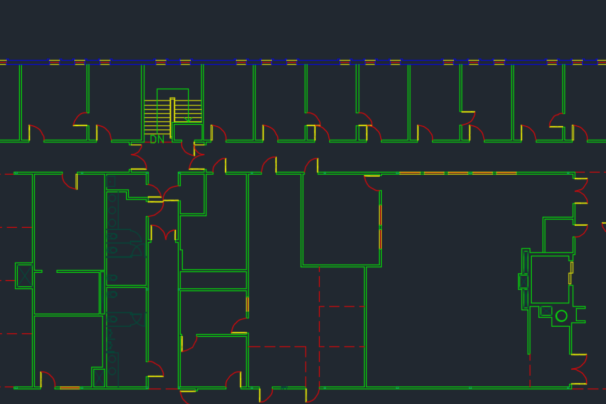
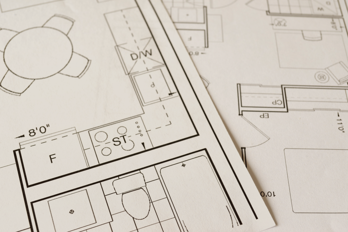
Using the drawings submitted by designers or by surveying buildings we create or update "Base Floor Plans" using AutoCAD. The floor plans are availible as pdf files and show a general representation of a floor of a building including walls, doors, windows, columns, plumbing fixtures, and permanently mounted items.
Document Management
When a construction project on campus is completed design teams involved in the project such as architects and engineers submit "as-built" or "record documents" to our team. These documents are stored in a document management system where they can be searched by attributes such as discipline and drawing type to name a few.
When starting a new project on campus consultants can visit our office to search for drawings from previous projects.