Climate modeling
Climate models attempt to represent the entire Earth system including the land, atmosphere, and ocean. This project will use advanced local models to ‘see’ mountain ranges; Represent river headwaters, deep mountain snowpack, glaciers, permafrost. Representing mountains improves our estimates of important features in nature. We will test our model extensively against available observations.
This project engages in three elements of physically-based modeling:
Climate modeling
River discharge, temperature, and river ice modeling
Fish bioenergetics modeling
Project team members with the National Center for Atmospheric Research will be producing high-resolution (4 km) historical and future weather and climate models, which includes permafrost, snow cover, streamflow, river water temperature, and river ice simulations. This will allow our models to better represent how mountains and permafrost may impact northern rivers in future climate scenarios. Later our team will also use “bioenergetic” fish models to test possible impacts of climate change on fish populations for co-identified river reaches.
November 2021 Update
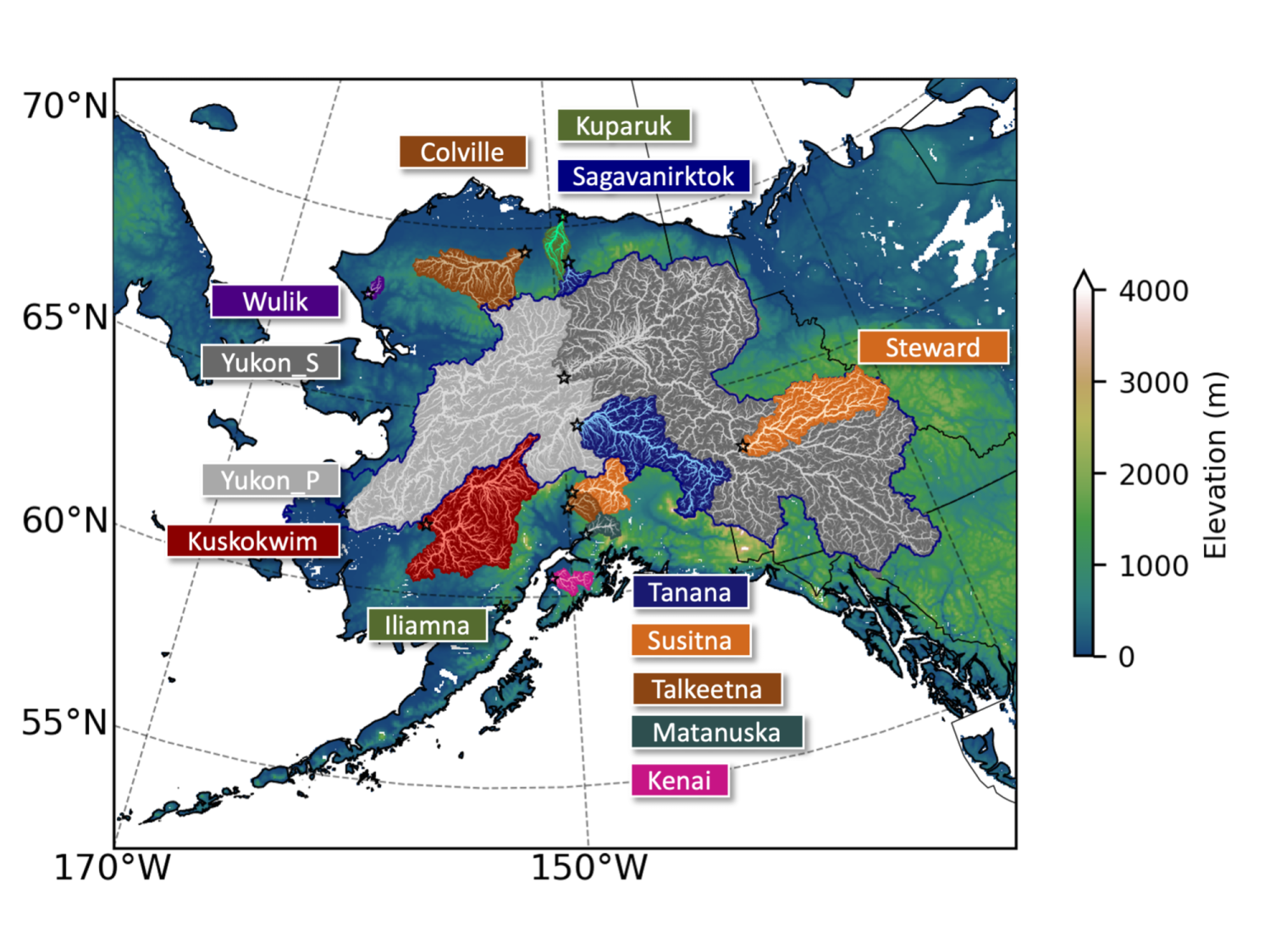
After two years of effort, our Community Terrestrial Systems Model (CTSM) historical hydrology runs are ready! CTSM is the state-of-the-science land surface model from the National Center for Atmospheric Research. It has been calibrated using river and snowpack observations to best represent historical streamflow conditions, which gives us confidence in the model to estimate future climate and river conditions. The study region focuses on Alaska and Canada, in particular the Yukon River Basin shown in the accompanying map. The colored domains denote river networks that are measured at USGS stations, which are indicated by small markers. We are implementing the optimized CTSM configuration into the Regional Arctic Systems Model to better capture the dynamics between land and the atmosphere.
We are producing some of the highest resolution climate data generated thus far for Alaska and northwestern Canada. It is also being co-produced. Our model decisions are being informed by our Indigenous Advisory Council and the results from a survey we sent to >200 Indigenous decision-making bodies across Alaska and the Yukon. This input helps us to ensure that our results will best inform how climate change may impact the northern landscape, rivers and Indigenous Communities this century.

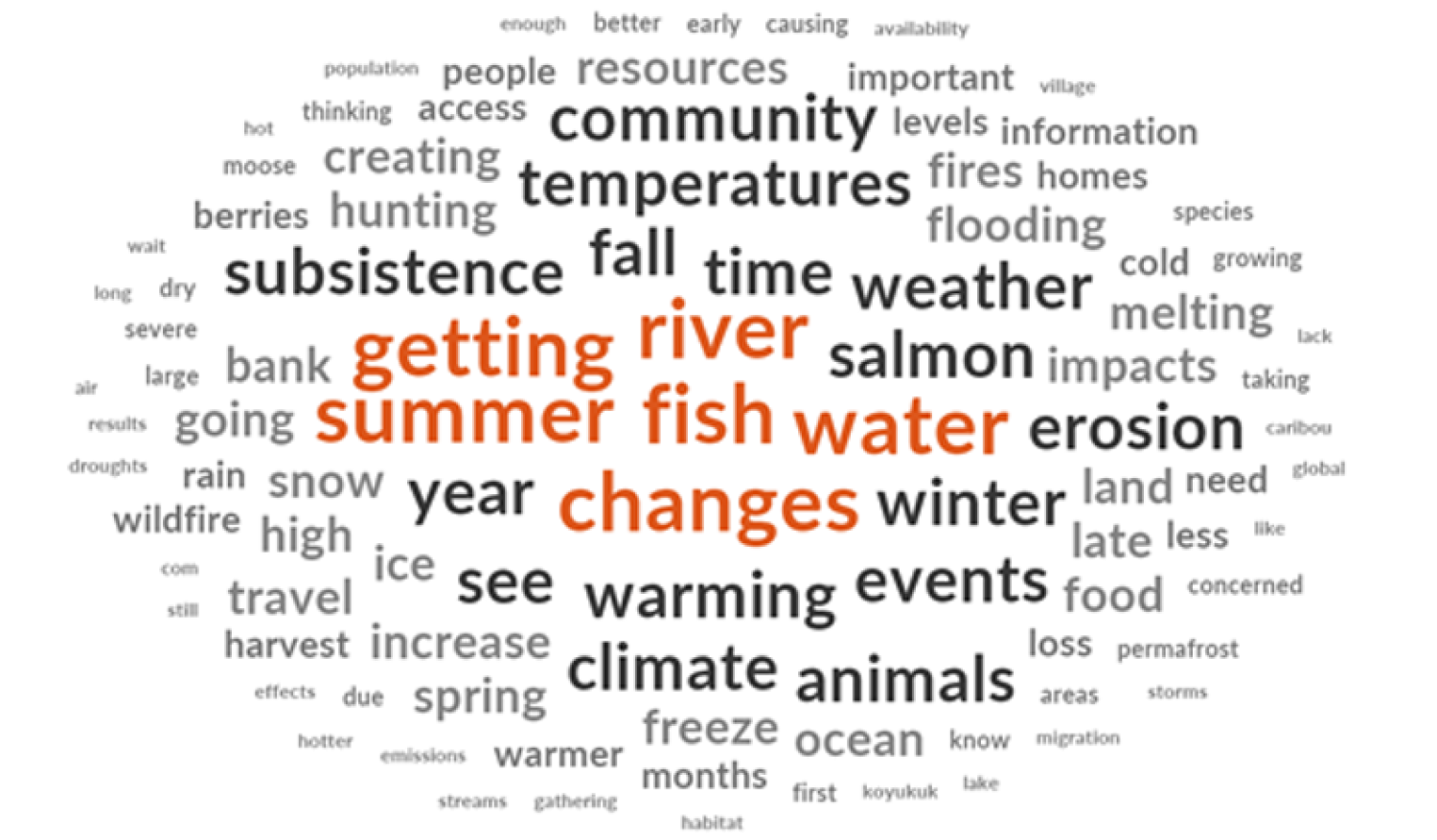
We continue to strive towards best practices and equitable co-production of knowledge. Most recently we sought input into how we might prioritize our models to inform what Yukon communities are most concerned about. We learned this includes providing insight into changing seasons and weather patterns, extreme events and subsistence resources. Below is a word cloud highlighting 500 most used words across all responses from nearly two-dozen Indigenous decision-making bodies in the region. Check out the results from our survey here.


