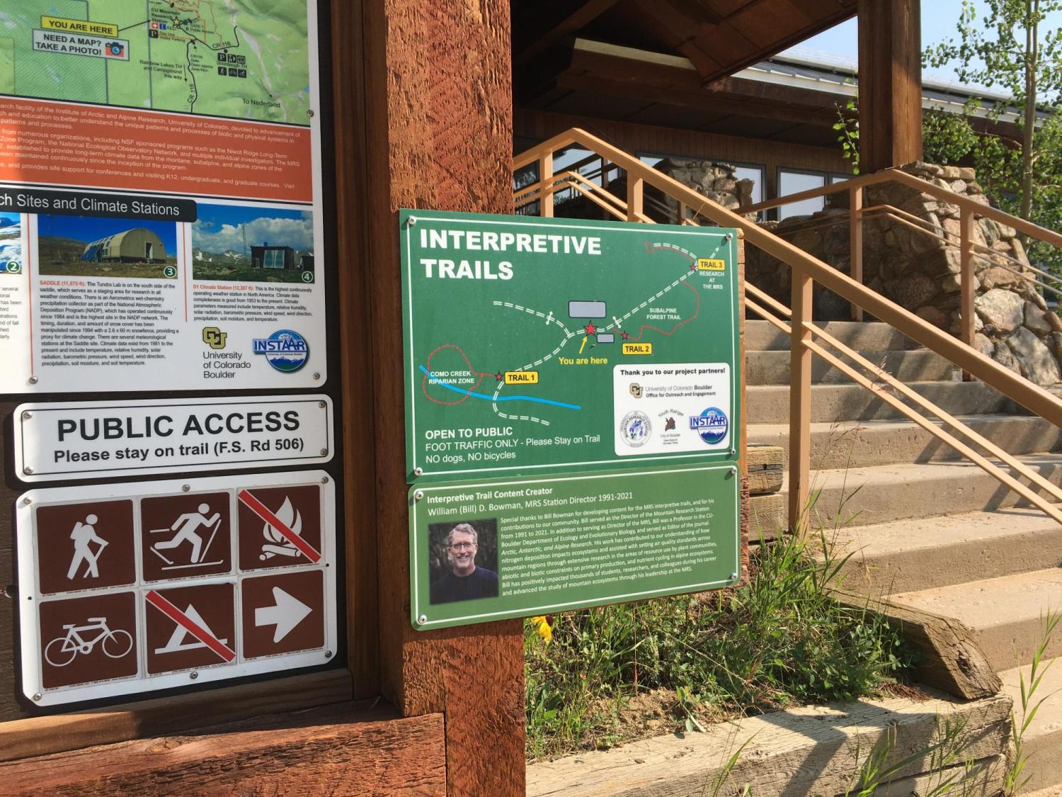
Interpretive Trails
We invite K-12 students and their families, station users, and the general public to explore our three self-guided interpretive trails. Free visitor parking is allowed at the main entrance. Trails are short - roughly 1/4 to 1/3 mile long and have interpretive signs in key areas on the trail. It is best to visit June - October, during winter months only trail #3 is easily found! Organized K-12 school outings should contact the Station Manager in advance.
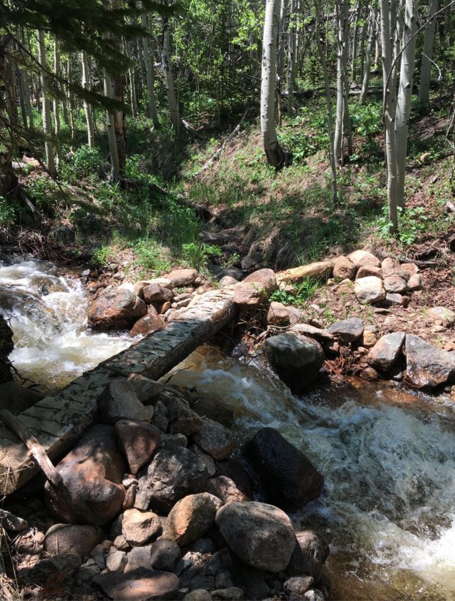
Trail 1: Como Creek Riparian Zone - Learn about forest diversity, hydrology & aquatic ecology, geomorphic setting & watershed.
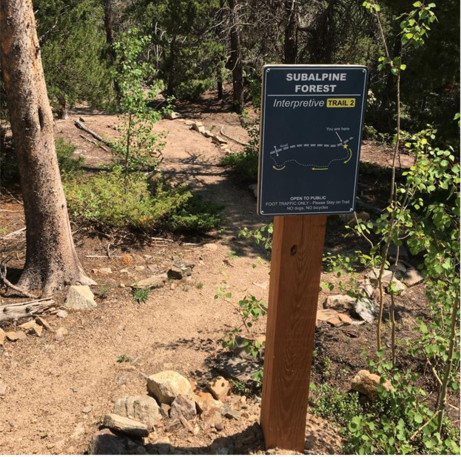
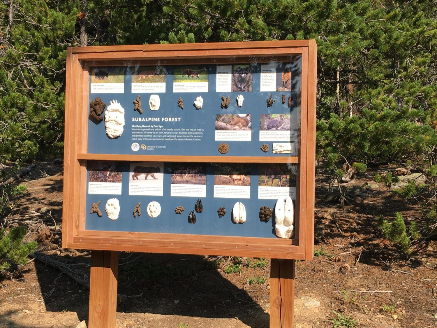
Trail 2: Subalpine Forest - Learn about our dynamic forests, biological interactions, mammals, and learn about mammal tracks and scat.
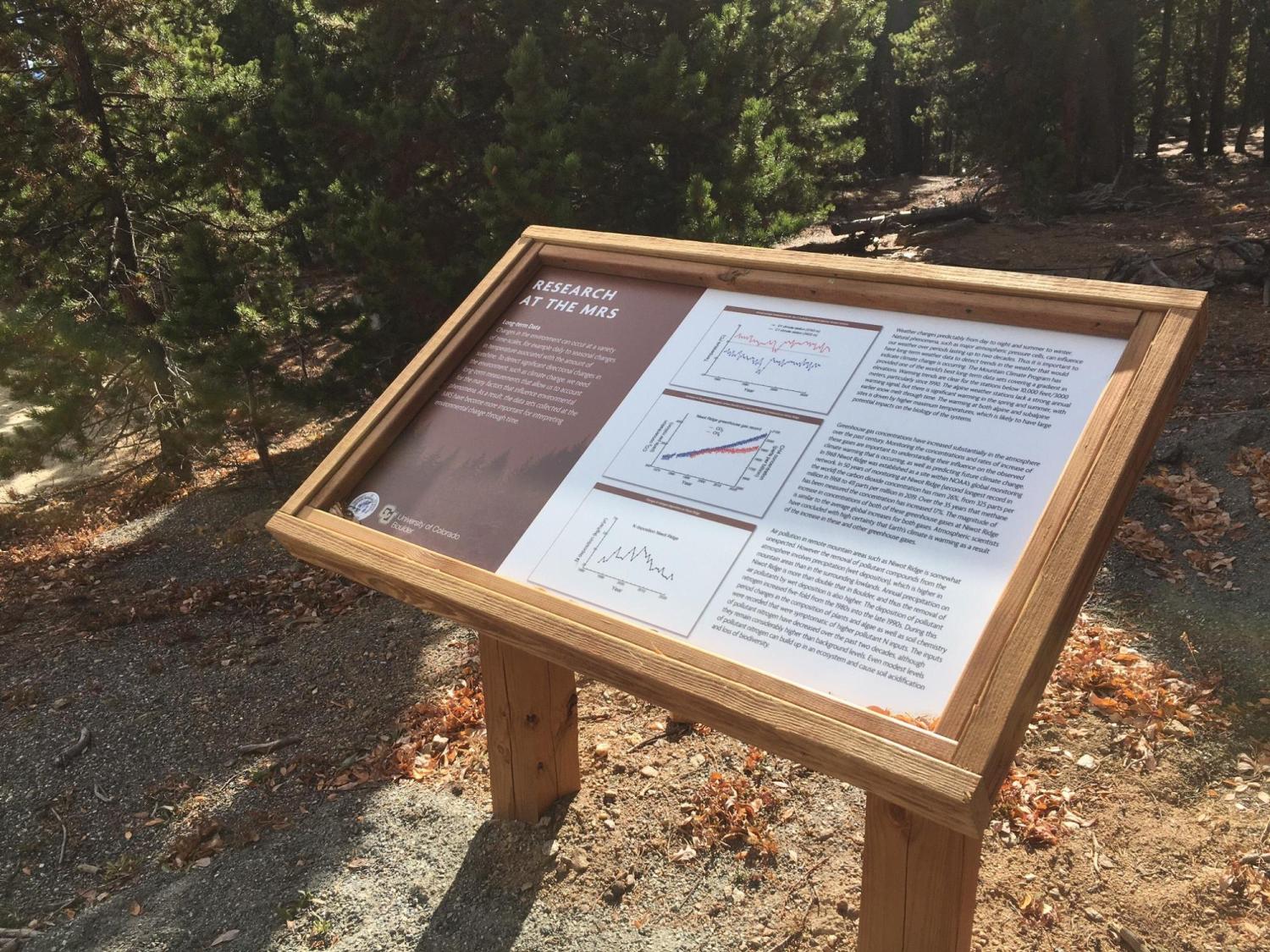
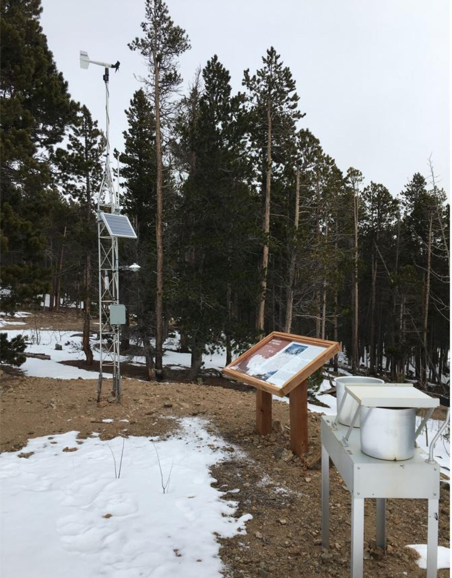
Trail 3: Research at the MRS. - Learn about environmental monitoring, long-term data sets collected at Niwot Ridge, and the history of monitoring at Niwot Ridge.
Click HERE to see all of the interpretive signs on each trail.