
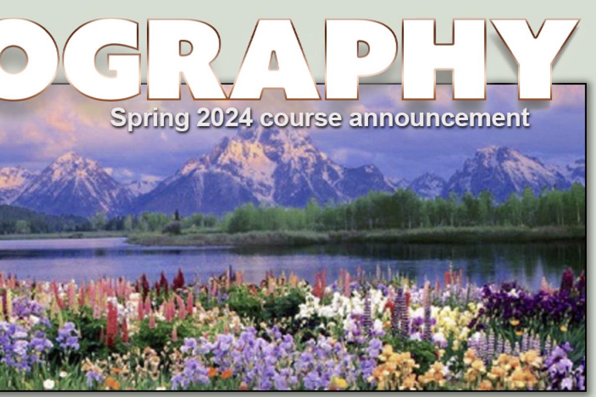
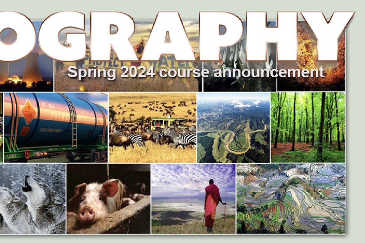
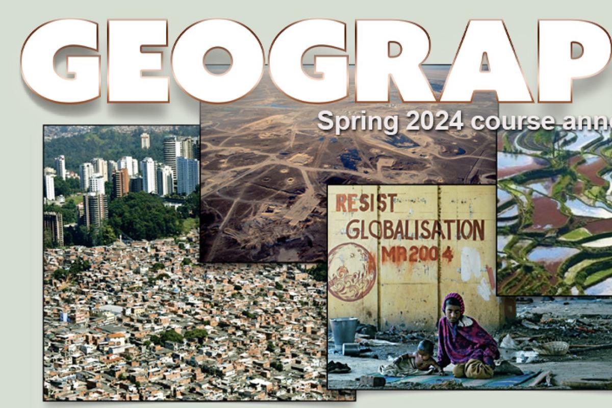
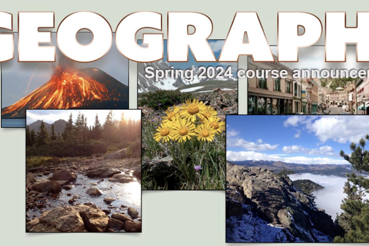
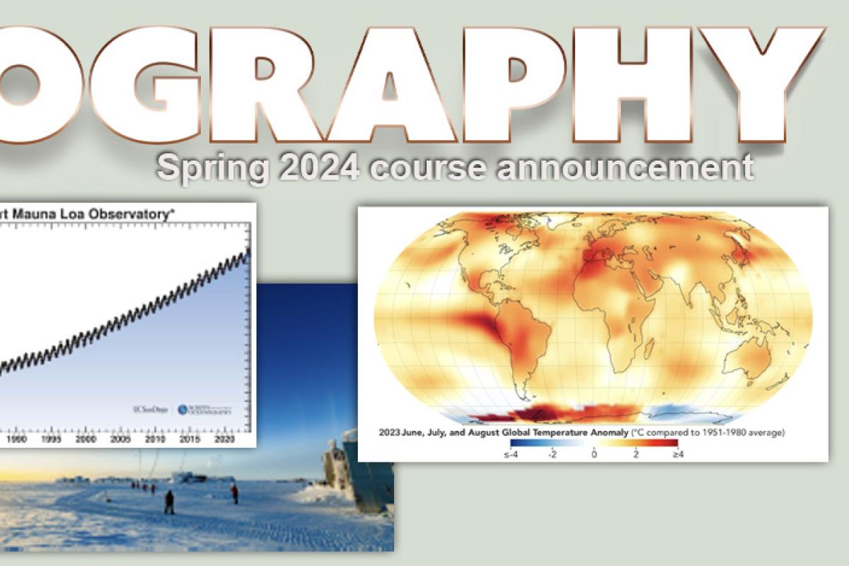
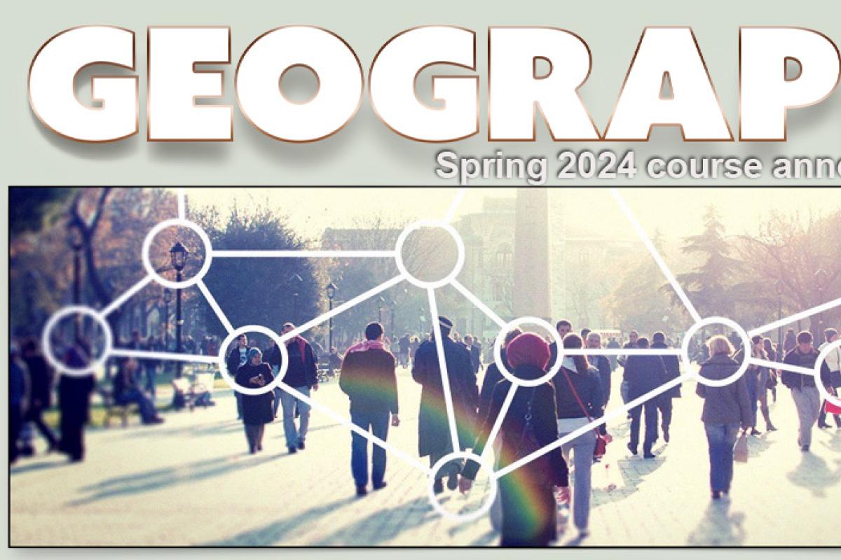
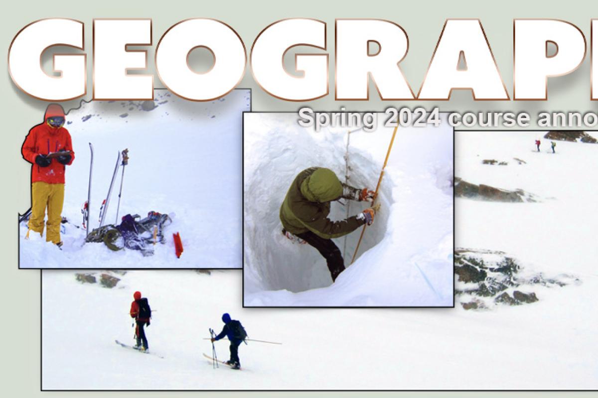
Spring 2024 Course Announcements
Go to the Spring 2024 Course Schedule page to see the schedule for all Spring 2024 courses and who the instructors are.
*Note: Continuing Education (CE) Classes are Billed Separately. If you enroll in both Main Campus and CE classes in the same term, CE tuition will be billed in addition to your Main Campus tuition. CE courses are not COF eligible.
GEOG 1001
Environment Systems: Climate and Vegetation
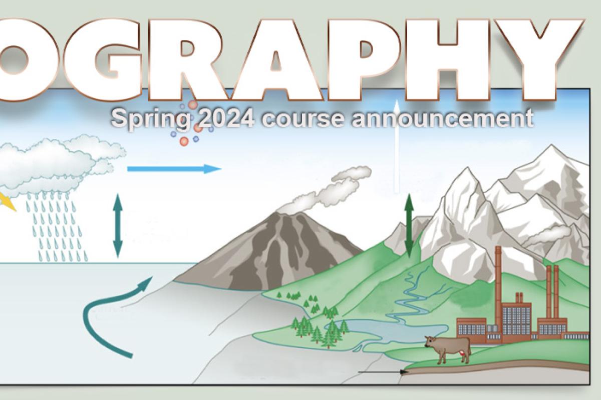
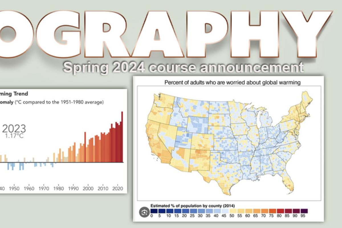
The objective of this course is to provide you with an introduction to the Earth's climate system and patterns of world vegetation. We will emphasize the many linkages and feedbacks between the non-living (abiotic) and living (biotic) components of the earth system.
Topics we will cover include radiation, temperature, winds and pressure, the water cycle, climate change, and biomes. This course will prepare you for subsequent, more specialized courses in climatology, hydrology, ecology, and biogeography (ecosystems and cycles). This is a natural science course, and graphs and basic algebra-level math calculations will be used to help understand the concepts covered.
This class fulfills, a MAPS requirement, and a requirement for the Geography major.
GEOG 1011
Environmental Systems: Landscapes and Water
Earths landscapes – the natural surface is composed of rock, soils, water, and vegetation – are always changing. These landscapes host, life, and human activity. Knowledge of how the Earth's surface changes is necessary to ensure public safety, provide food and water, security, and support ecosystem management hasten, and thus this knowledge is relevant to the adverse career pursuits.
Topics covered include the basic geologic processes of plate tectonics, volcanoes, and earthquake. We then explore how the land surface is shaped by water and physical processes, focusing on weathering, soils, hydrology, luvial processes, glaciers, climate change, and human impacts. By the end of the course, you will be familiar with the primary physical processes involved in the formation of the Earth's landscapes. You should also be able to generally describe how these natural sciences are related to important scientific and societal issues.
This class fulfills a MAPS requirement and a requirement for the Geography Major.
GEOG 1962
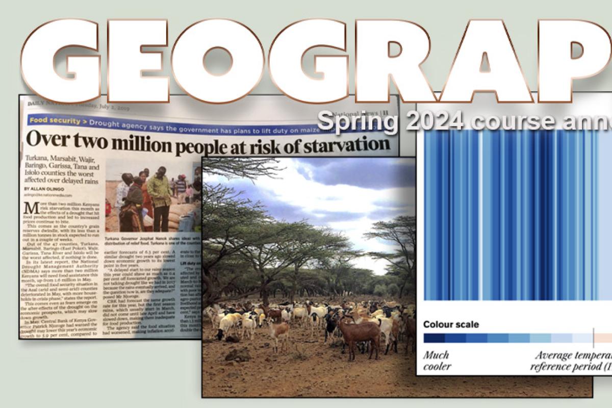
Geographies of Global Change
The course focuses on contemporary issues of the relationship pf people to their natural environment. The class has three modules. Module 1 reviews the main consequences for humans of climate change, especially migration, food insecurity and resource scarcities with a focus on Africa. Module 2 examines the interaction of people and nature via the persistent patters of the natural and technological disasters in rich and poor countries. Module 3 examines the power dynamics of gender, race, and class as part of environment and development processes involving climate change and environmental justice. The class is team-taught by three professors who are expert in the respective topics ad serves as an introduction to geographic perspectives on matter of contemporary global importance and that involve difficult personal and political choices.
This class fulfills a MAPS requirement and a requirement for the Geography Major
GEOG 1972-581*
Environment-Society Geography
The study of global environmental issues evokes one of the most profound questions of our times: What is, and what ought to be, the relationship between humans and the environment? To answer this, we must also ask: What is the "nature" and how do people of different cultures conceptualizing differently? What drives human modification of the earth and its non-human inhabitants, and how are specific groups of people differentially affected by these modifications? What kinds of assumptions have led to the creation of certain environmental problems, and for whom or what are they problems? Topics we will cover include anthropogenic climate change; population and consumption; hazards, ethics, and environmental justice; conservation; food/ agriculture, water, and waste. We will draw from examples around the world to critically examine how environmental problems are defined and tackled and what this tells us about nature-society relations more broadly.
This class fulfills a MAPS requirement and a requirement for the Geography Major; it is also a great introduction to "Environment-Society" Geography Track.
GEOG 1982-581*
Global Geographies: Societies, Places, Connections
This course introduces a comparative and critical framework for understanding world regions. We will examine different regions by looking at their history, geography, and discussing current problems and challenges they face. This includes helping students understand the complexity and interconnectedness of issues such as development, economic growth, income and wealth inequality, colonialism and neocolonialism, political conflict, population, race, and climate change - all in the context of globalization.
Examples and assignments will link course topics to current events and students' own experiences.
This class fulfills a MAPS requirement and a requirement for the Geography Major
GEOG 1992-581*
Human Geographies
Examines social, political, economic, and cultural processes creating the geographical worlds in which we live,and how these spatial relationships shape our everyday lives. Studies critical geopolitics, ecological change, international development, population dynamics, urbanization, and migration to explore how these processes work at global scales as well as shape geographies of particular places.
This class fulfills a MAPS requirement and a requirement for the Geography Major; it is also a great introduction to the "Human Geography" Track.
GEOG 2092
Advanced Introduction to Human Geography
How do we make sense of humanity’s place in the world, as well as our changing impact on it? What are the causes of uneven development, both between and within different regions? What tools do geographers use to understand and represent human spatiality, and how are these changing?
In this course, we will examine issues of globalization, urbanization, development, migration, natural resource management and the links between landscape and identity. We will use examples from multiple scales, ranging from geopolitical blocs to neighborhood blocks, and from multiple sites around the world. Following Einstein’s advice to explain things “as simply as possible, but not overly so”, the course emphasizes the complexities that make up human geographies, while also teaching tools for unpacking this complexity in the context of social action.
GEOG 2271-581*
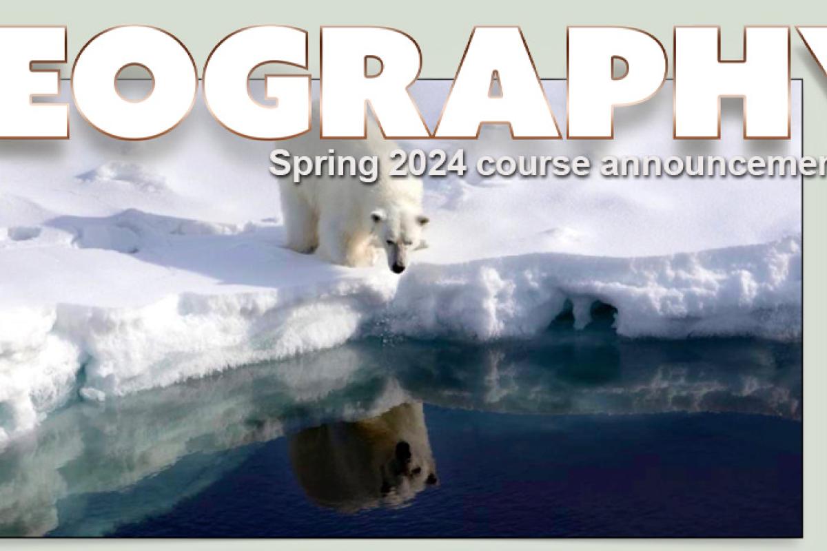
Introduction to the Arctic Environment
The Arctic plays a key role in the global climate system and is a region in the midst of rapid change,encompassing the land, ocean and the atmosphere. In this course you will learn about the highly varied climates and landscapes that characterize the Arctic, the Arctic Ocean and its floating sea ice cover, the Greenland ice sheet, Arctic tundra, snow and permafrost.
The course will also emphasize the dramatic changes that are taking place in the Arctic, including rapid warming and a shrinking sea ice cover, and what these changes mean for the rest of the planet.
GEOG/IPHY 2692
Foundations in Public Health
This course provides a comprehensive overview of public health as well as an in-depth review of specific public health-related topics. Beginning with historical overview, students will explore major public health concepts such as the basic principles of epidemiology, the biomedical basis of disease, social and behavioral determinants of health, and systems thinking. Students will be introduced to the concepts of measuring and evaluating the health of the populations, principles of communicable and non-communicable diseases, environmental and occupational health, the economics of health, and the role of public health workers in society.
GEOG 3022
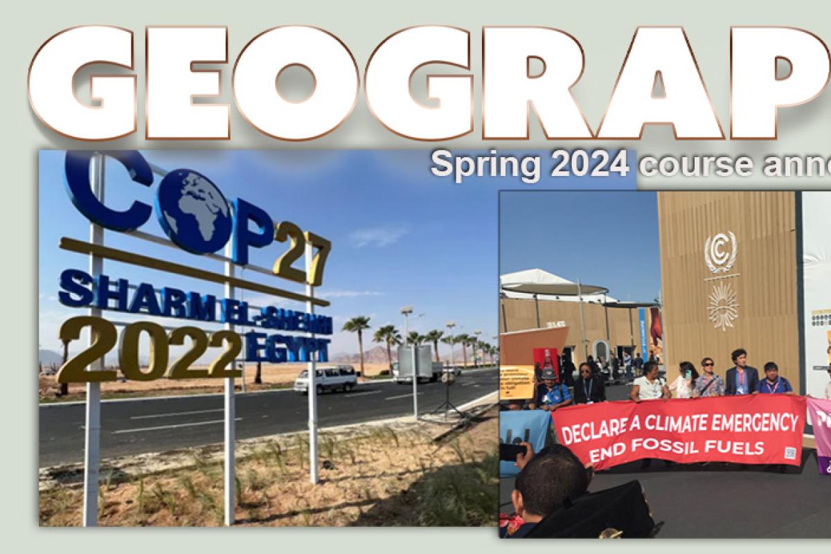
Climate Politics and Policy
Are you interested in climate change politics? If so, this class is for you!
We will explore the global politics of climate change through the UN Framework Convention on Climate Change and how its key issues and framings have changed over time.
We will also explore climate policy and politics at other scales, including the national, state and local levels, paying particular attention to issues of justice in a range of issues including adaptation, energy transition, migration, and carbon finance.
GEOG 3023
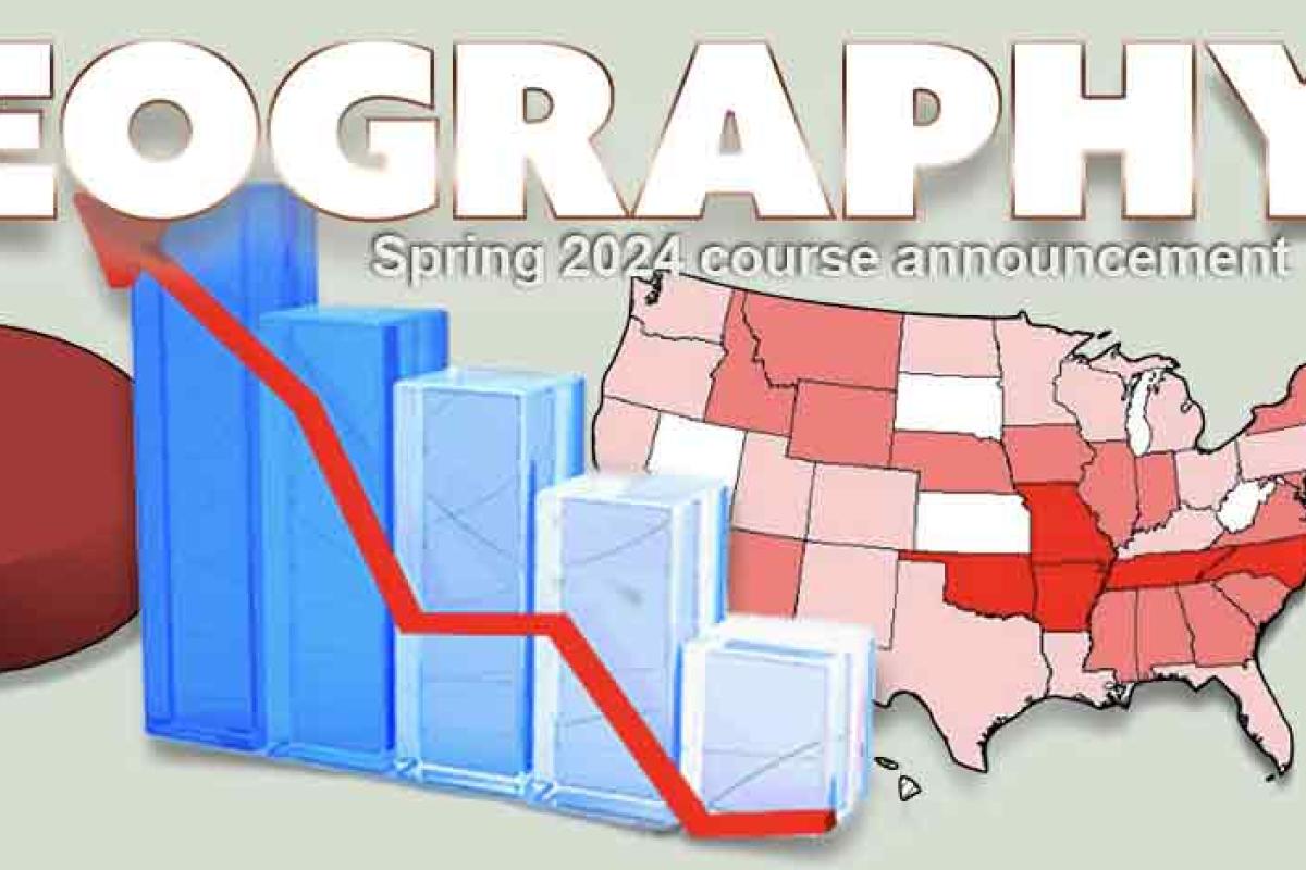
Statistics and Geographic Data
From fitness trackers to Facebook to polls on politics and other issues, our world is flooded with data. Careers in data science are in high demand, and technological and societal changes make data available on nearly everything.
ln this course, we teach you how to understand and model the relationships between data and your world. You'll learn how to collect data, learn modeling techniques, and develop questions that we can answer with statistical methods. The course is hands-on and will guide you in using the latest statistical software to produce graphics, answer questions, and find patterns about the world around us.
This course does not assume any previous experience with statistics. It satisfies the statistics requirement for the Geography, major, and serves as a great introduction to data modeling for any Geography major or minor.
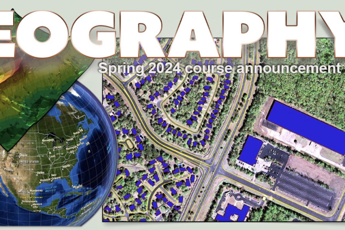
GEOG 3053
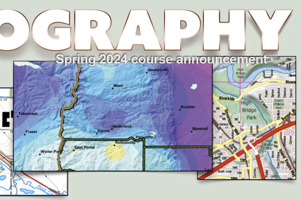
Geographic Information Science: Mapping
Mapping and data visualization supports man tasks in Geography, Environmental Studies, Earth Sciences and Human and Social Sciences. Maps can help you explore spatial data, perform analysis, and present meaningful results. Knowing how to put together a database and process layers of terrain, water, roads, and thematic data (vegetation, population, etc.) in order to make a map is an extremely useful skill that many employers are seeking. Come learn what it is all about!
This course provides a technical introduction to mapping and information design in a GIS environment. We'll cover principles of scientific visualization, graphical design, and mapping. You'll learn how to manipulate scale, work with and change map projections, how to select informative colors, how to classify map data, and how to symbolize data, and how to quantify patterns of error on maps. In lab, you will design maps and create a working cartographic database. By the end of this course, you will be capable of creating high quality cartographic displays and work comfortably with Desktop ArcGIS software to process spatial data.
Some prior experience with Apple or Windows computing is expected. No previous experience in ArcGIS or mapping technologies is required. GEOG 3053 is a prerequisite for the Geography GIS courses. A beginning course in statistics is strongly recommended and may be taken concurrently.
GEOG 3251-581* & 582*
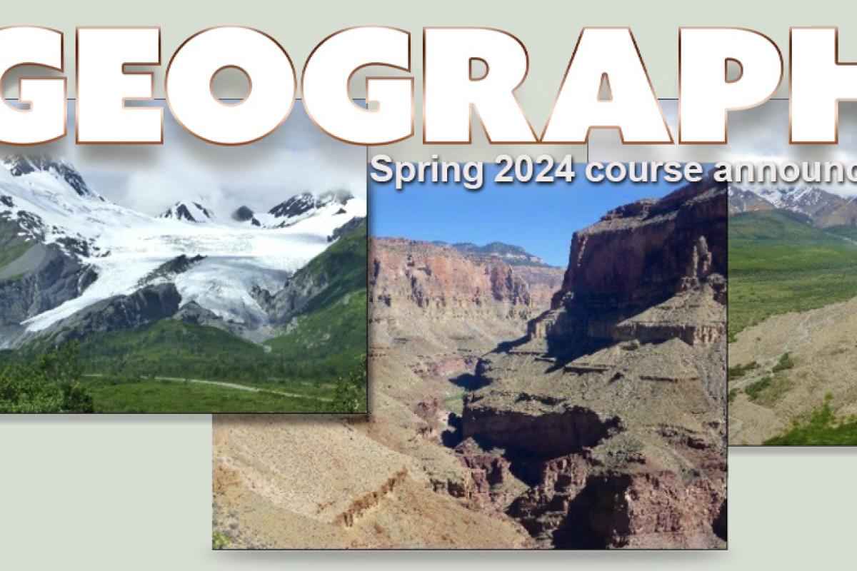
Mountain Geography
The world’s mountains are fascinating and mysterious landscapes. Created by geologic activity, shaped by water and ice, and transformed by vegetation and human activity, mountain landscapes, offer a unique perspective into historical and current events. Using mountain landscapes as a study area, this course will examine the interactions and connections among key topics and physical and human geography. Daily presentations and frequent, hands-on activities will apply geographic concepts to the Colorado Rockies, as well as mountain ranges around the world. To explore our mountain landscapes, local examples will be used to examine how wildlife impacts local forests and human communities, and investigate how historic mining and continuing human activities have shaped the mountain landscapes in our backyard.
GEOG 3301
Analysis of Climate and Weather Observations
This course is designed to introduce you to the collection and analysis of data used to understand Earth's climate and weather. It is meant to be a fun and stimulating way to learn more about the weather and the atmosphere, while at the same time giving you a taste of what it is like to study atmospheric and climate science. We will focus on how rather than what. For e.g., you will learn how atmospheric observations are collected and analyzed. While we will review concepts of weather and climate, it is expected that you are familiar with basic atmospheric science/meteorology (see prerequisites below). This course is expected to be a great complement to GEOG 3601/ATOC 3600.
Prerequisites: GEOG 1001 and/or ATOC 1050/1060. A basic math/stats course and knowledge of data analysis software (e.g., Python, R, MATLAB) will be helpful.
GEOG 3351
Biogeography
“Biodiversity is the totality of all inherited variation, in a lifeforms of earth, of which we are one species. We study and save it to our great benefit. We ignore integrated to our great peril.” — E.O. Wilson
Learn about the evolution and ecology of plants and animals across the globe! Biogeography examines the geography of biological life by employing an interdisciplinary framework. During the course we will delve into the mysteries of endemism and speciation across space and time, covering basic concepts and principles of geographic variation and evolution. This is a student-centric course utilizing a range of learning experiences and instructional approaches. It is a fantastic complement to all upper-level GEOG, ENVS, and EBIO coursework.
GEOG 3402
Natural Hazards
This class examines the interaction of society and natural extremes, with particular attention to exposure, vulnerability, preparedness, mitigation, and recovery from natural disasters. Our social science approach differentiates this class from courses on natural disasters taught as natural science, where the emphasis is on the physical processes (like tectonics and volcanism). We treat the subject as both an academic field of inquiry that provides insight into social structures, human behavior, and environment and society relationships, and as a professional field in which students learn methods and skills that can be applied to careers in environmental and hazards management. While we will briefly cover the physical science of hazards like hurricanes, foods, and earthquakes, the focus is on human geography: how people and institutions perceive and respond to hazards and how development in hazardous areas increases risk. Given the time, we will also briefly examine technological hazards and disasters.
This is a lecture class, with exercises and exams. The material is in four main categories: (1) concepts and principles, including material on the nature of extreme events, social exposure and vulnerability, trends in hazard impacts, and ways to measure and characterize hazards and risks; (2) specific hazards like hurricanes, foods and earthquakes; (3) hazard impact reduction, including mitigation, warning systems; land use; insurance; and recovery; and (4) special topics such as events in the news.
GEOG 3601; ATOC 3600/ENVS 3600
Principles of Climate
This course describes the basic components of the climate system: the atmosphere, ocean, cyrosphere, and lithosphere. We will investigate the basic physical processes that determine climate and the link between the components of the climate system. Emphasis is placed on the hydrologic cycle and its role in climate, climate stability, and global change. The theme throughout this course will be an examination of the importance of climate as one of the major forcing functions in environmental change. Both human-induced and natural climate variability will be covered.
GEOG 3682-581* & 582*
Geography of International Development
Today, amid rising global debates about migration, regional instabilities from the Mediterranean to the South China Sea, and transnational corporations increasingly involved in everything from poverty to governance to climate change, the politics of international development could not be more urgent.
What is the role of international assistance in a world marked by imperialism and inequity? How do actors in the "global South" deal with livelihood and governance issues that crosscut economics, politics, history and tradition? How is "Development" itself changing as the United State's place in the world is increasingly unsettled?
This course uses the lens and tools of human geography to explore these questions. Examining cases from Latin America, sub-Saharan Africa, South Asia, the Middle East and the Pacific Rim, this course surveys the changing terrain of international development at the dawn of the Twenty-first Century.
GEOG 3692
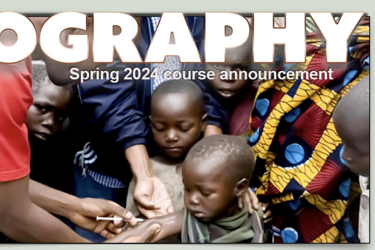
Introduction to Global Public Health
This course explores critical issues in global public health through a biosocial lens, incorporating the biological, economic, political, social and cultural influences on health. We take a candid look at the challenges of quantifying health as well as the issues of past health and development initiatives (with a focus on developing countries). We examine the tensions between intellectual property rights and the fundamental need for affordable medicines as played out in the cases of TB and HIV. We delve into the roles of the World Health Organization, nongovernmental organizations and ministries of health in addressing both infectious and non‐communicable diseases. We explore health care systems and consider the essential elements of systems which improve accessibility and quality of care for its citizens. We look at the future priorities of global health, including the impact of climate change on health. Students will read and discuss case studies on global health, conduct a guided semester-long research project on the health of a developing country, and take 3 non-cumulative exams. This is a 4-credit course.
GEOG 3742
Place, Power, Contemporary Culture
What is "power,' and how are spaces produced through relationships of power? GEOG 3742 introduces students to key theories and contemporary debates in critical and feminist geography through a focus on the themes of power, space, and culture as conceptual frameworks. We will apply critical geographic perspectives on power to the topics of: colonialism and imperialism; states and territoriality; transnational migration and human rights; conflict and nationalism; environmental politics and social movements; and connections between local and transnational activism.
The course is structured around four units:
- feminist geographies;
- postcolonial geographies;
- environmental injustice and queer ecologies;
- decolonial geographies.
While many of our readings are theoretical, we will draw from contemporary examples from different regions of the world - Canada, India, Iran, Lebanon, Mexico, Russia, Tajikistan, South Africa, Ukraine, United Kingdom - to ground our studies.
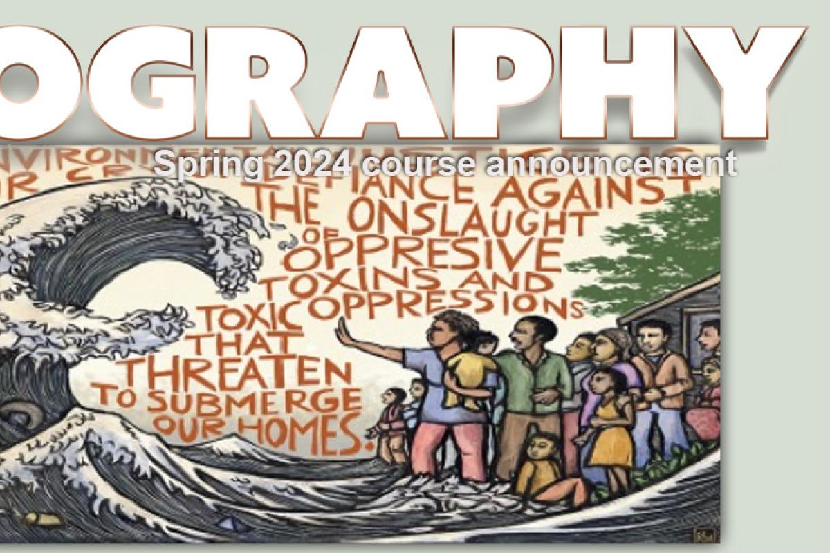
GEOG 3782
Environmentalism, Race, and Justice
As the environmental justice (EJ) movement has emphasized, environmental problems do not affect all people equally. EJ activists and EJ scholars have demonstrated that communities of color, Indigenous communities, and working-class communities are disproportionately exposed to environmental hazards and are disproportionately vulnerable to the effects of exposure to those hazards - inequalities that cause illness, death, suffering, cultural dislocation, and other egregious forms of injustice. The need for socially just environmental action is more urgent than ever before.
This course examines spatial inequalities in environmental problems and their relationships to environmentalism and racism. In the course, we will describe patterns of environmental inequality at various scales (local, national, international) and examine their implications for human health, well-being, and sense of place. We will identify key causes of environmental inequalities, paying particular attention to environmentalism and racism. The course explores efforts to reduce environmental inequality, including by social movements, researchers, students, journalists, political leaders, and government agencies, and it introduces students to research methods for documenting and analyzing environmental inequality. The course will focus geographically on the United States.
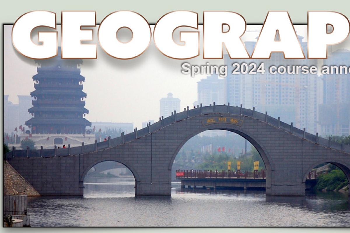
GEOG 3822-581*
Geography of China
China is one of the fastest changing countries on earth. With hundreds of new cities under construction, rapidly accumulating wealth among the middle and upper classes, a precarious environment and resource-base, and rising geopolitical ambitions, understanding a changing China is more important now than ever before. Yet as China's influence grows, it seems to become more misunderstood than ever.
This course aims to explore China's changes, as well as dispel common myths about contemporary China, through the lens of human geography.
We explore China's diverse environmental and cultural landscapes, its historical geography, and the challenges of rural development, urbanization, environment, energy, and climate change.
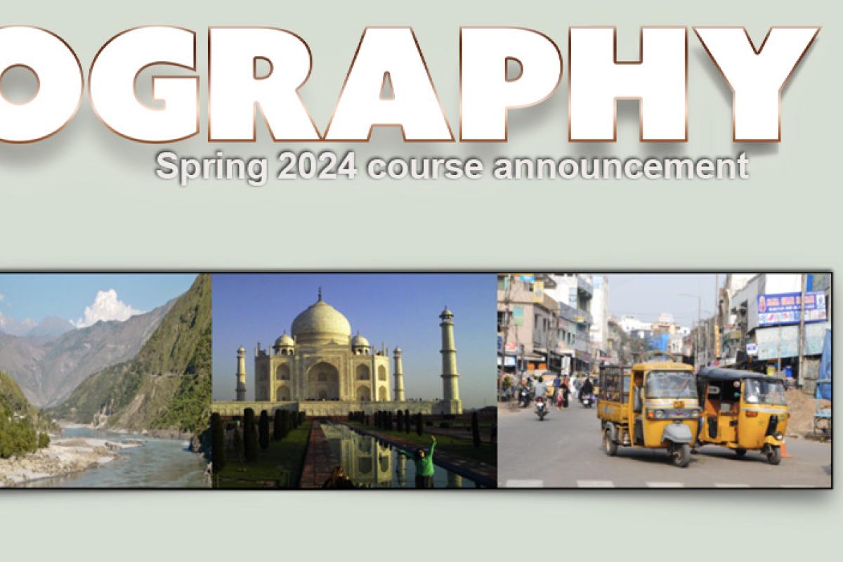
GEOG 3832
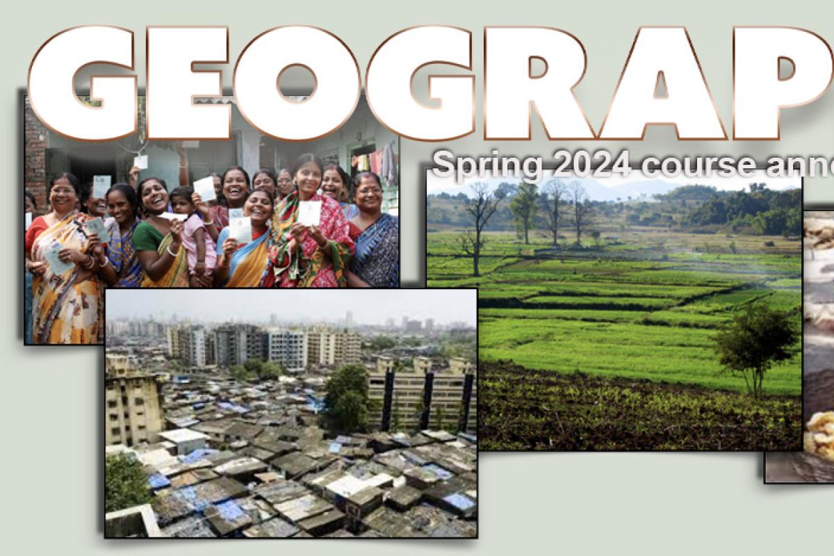
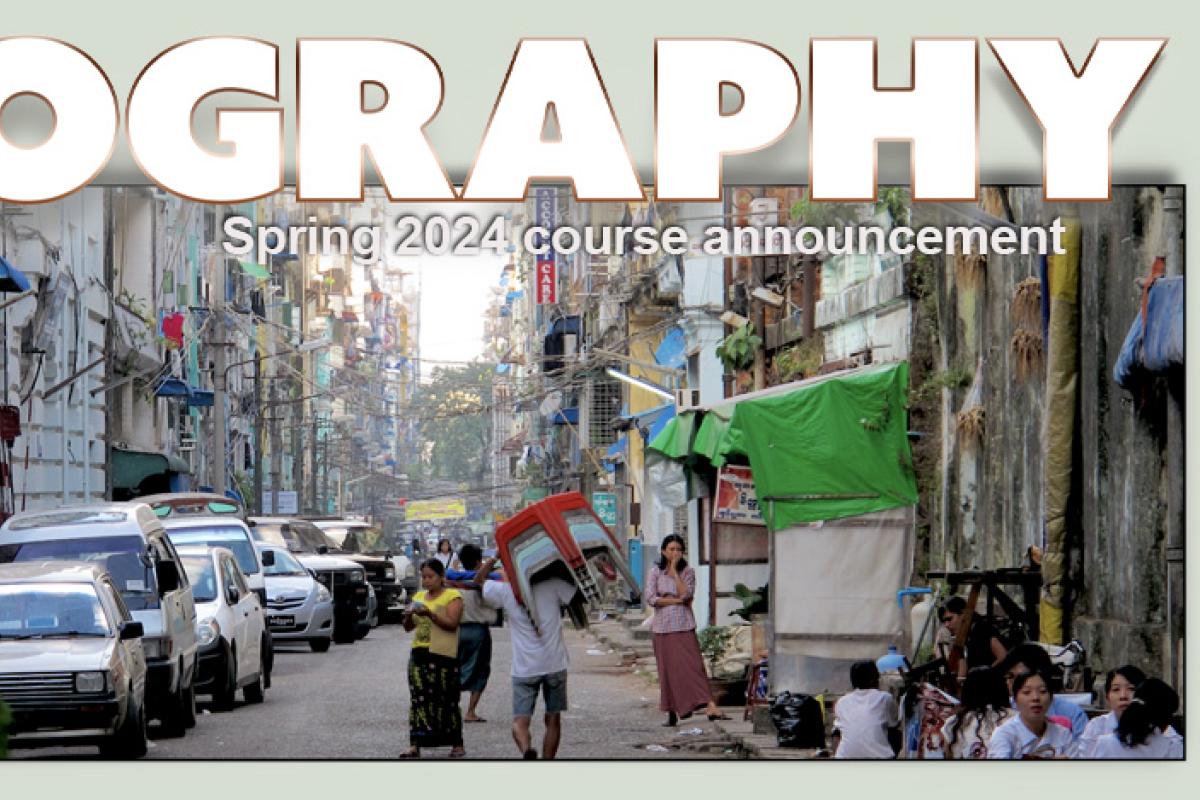
Geographies of South Asia
This course will examine the Geographies of South Asia through four interrelated themes: Territory, Trade, Transportation, and Tributaries. Territory will cover the physical geographic characteristics of South Asia, along with the social and political histories that have transformed South Asian geographies. Trade will focus on the economic geographies of South Asia prior, during, and after colonization. Transportation examines the changing geographies of mobility in South Asia from roads to railroads and airports. Tributaries address the politics of water resources among nations in South Asia and the social/cultural significance of water bodies.
We will investigate gender roles and relations as a lens through which to examine the diverse identities and cultures of South Asia. The course will begin with a general overview of the region followed by more extensive study of India, Pakistan, Afghanistan, Nepal, Sri Lanka, Bangladesh, Burma/Myanmar, and Bhutan.
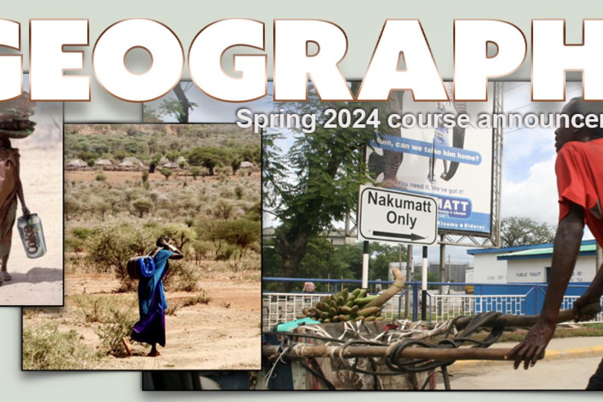
GEOG 3862
Geography of Africa
Africa is a continent encompassing an extraordinary amount of diversity — ecologically, socially, and culturally. Yet Africa is often misrepresented as one homogenous place (often misunderstood as one country!). Africa is often presented as a continent in crisis (politically, economically, and environmentally). In this class you will be asked to continuously challenge what you already know (and think you know) about Africa as a place, and about Africa’s place in the world, today and historically.
You will learn about the extraordinary diversity that exists within Africa from various perspectives, but also about particular trends that may appear across the continent. General overviews at the continental scale on particular topics will be matched up with case studies from specific places.
GEOG 3882
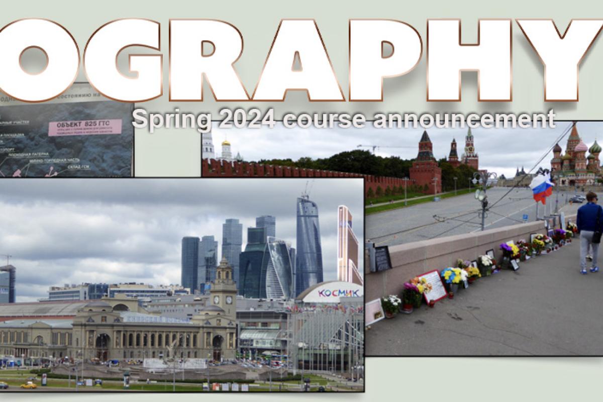
Geography of the Former Soviet Union
Russia has been in the news a lot recently, with much attention to Vladimir Putin and his actions. The former Soviet Union is a hugely complex place and is changing rapidly in diverse ways.
The course goals are to give students the background to understand contemporary events. We will focus on post-Soviet and Russian geographies with special attention to political, social and environmental developments since 2014. Russian foreign policy and Russian interventions in the 'near abroad' (countries bordering Russia) especially the invasion of Ukraine will be examined as well as internal conflicts around religious identities, civil liberties, and environmental crimes.
Readings are a mix of a text, academic articles and current news analysis for an educated public. Students will write a term paper, and sit for a midterm and a final exam. Class will be a mix of lecture and discussion of contemporary events.
GEOG 4002-001
Topics in Human and Enviroment/Society Geography: Climate Change and Social Outcomes
Examining the possible outcomes of global climate change for food security, health, conflict, and migration in different world contexts. Special attention to both the political debate in the US and globally for action to adapt to and mitigate climate change.
GEOG 4003/5100-002
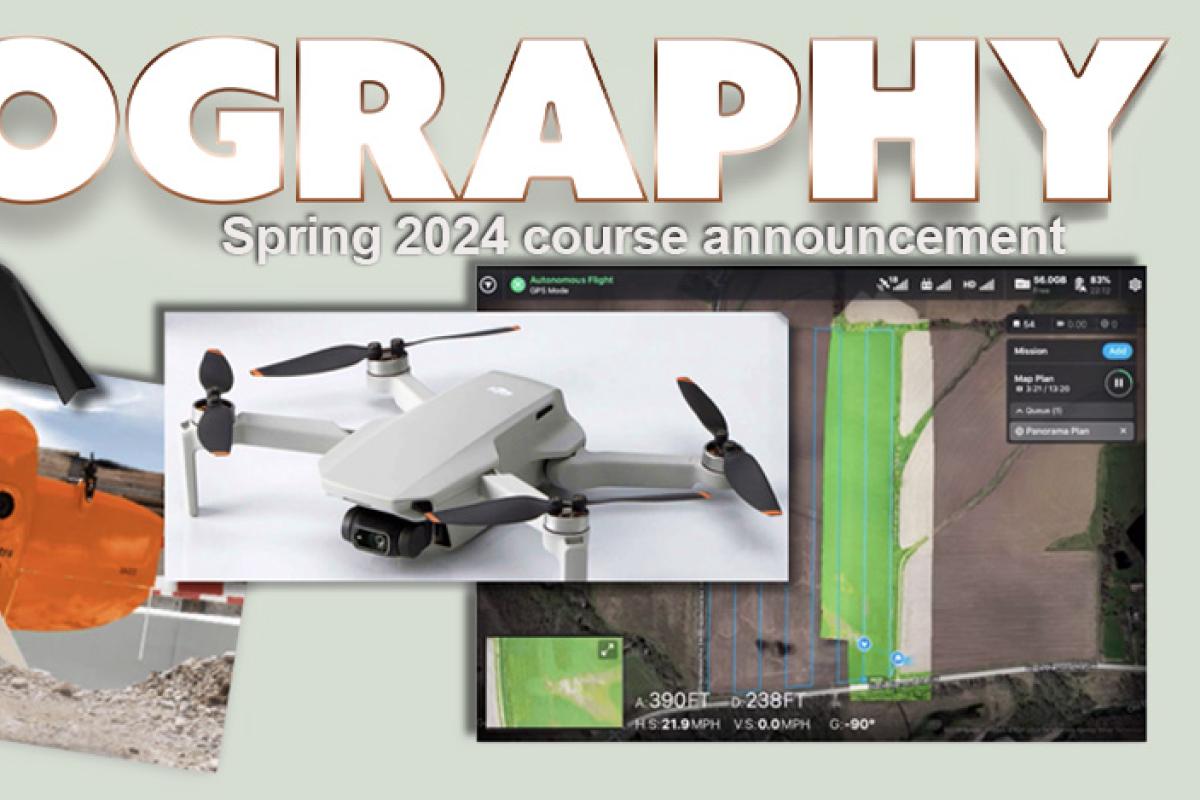
Topics in Geographic Skills: UAS for Earth Observations (aka “The Drone Course”)
Earth observations are the basis for scientific endeavors across many diverse disciplines. The recent ubiquity of small, inexpensive, UAS (uncrewed aircraft systems) allows for people to obtain timely data sets worldwide with minimal expense. Scientific data products obtained from UAS include: digital elevation modules, three-dimensional structure mapping, in situ atmospheric measurements, thermal maps, and more.
This course instruct students how to successfully carry out a UAS mission from beginning to end, such as incorporating ground control points needed to geo-reference UAS data, qualifying as a CU Boulder, UAS Pilot & Visual Observer, and creating point-cloud data from imagery. The course will have a field component where students will fly UAS to collect original data sets, and then create the associated data products.
Student Learning Outcome: Ability to run a successful UAS Earth Observation mission from project concept to product delivery.
GEOG 4023/5023
Advanced Quantitative Methods for Spatial Data
Methods and models for analyzing spatial data are new and in many cases, quite complex. The special nature of spatial data means that geospatial researchers need to develop tools and methods that are specific to spatial data, but that are easy to combine with other forms of analysis. This course covers a number of techniques aimed at the analysis and understanding of spatial data. We will cover statistical methods that are commonly used in geography including hypothesis tests, linear and non-linear regression, spatial and temporal autocorrelation, spatial modeling, geographically weighted regression, spatial lag and spatial error models, and other geocomputational methods.
Students will receive exposure to the latest issues, statistical approaches, and application perspectives. Lectures, classroom discussions, reading assignments, and lab exercises will provide students with hands-on training and problem-solving experience. The course will be of interest to students interested in the analysis of geospatial data from a variety of perspectives, including human and natural environments.
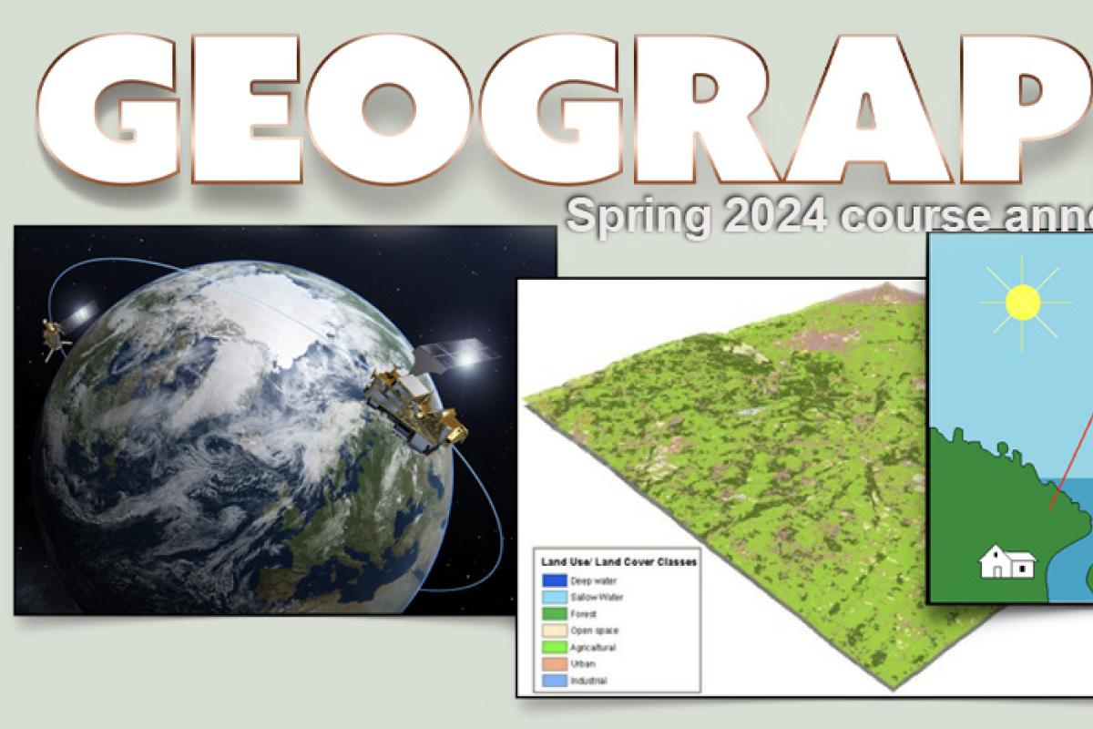
GEOG/GEOL 4093/5093
Remote Sensing of the Environment
Global environmental change is one of the most pressing international issues of this century. There is a need to monitor the earth's vital signs from atmospheric ozone to sea level change.
Satellite data sets are critical for monitoring regional and global changes, determine natural variability of Earth systems and addressing fundamental global change issues. The course is designed to introduce students to the techniques of remote sensing measurements of environmental parameters from aircraft and satellite platforms. The course is based on the application of simple physical principles of electromagnetic radiation. Different sensing systems such as electro-optical systems, passive microwave systems, ranging systems, and scattering techniques will be discussed with applications for the atmosphere, cryosphere, lithosphere, and biosphere.
GEOG 4103 / 5103
Geographic Information Science: Spatial Analysis
Are you ready to bring your GIS skills up to the next level? This course introduces the theoretical concepts and advanced use of Geographic Information Systems (GIS). It focuses on the nature of geographic information, the management of geospatial data and available methods for geographic analysis and geoprocessing to perform advanced and complex modeling in a GIS environment. Lectures focus on the theoretical basis of GIS science, the understanding of spatial algorithms and the development of a critical attitude toward GIS operations and model outputs. During lab sessions students will be able to apply the concepts and techniques presented in lectures and become well-trained in using GIS software. The aim of this course is that students understand elementary GIS theory, have a working knowledge of ArcGIS, and be able to develop GIS-based solutions for spatial problems, independently. In short: You will be ready for starting your professional GIS career.
GEOG 4173
Research Seminar
Are you a Geography major or minor who is:
- Passionate about a question or topic you want to do true in-depth research on by doing fieldwork and/or collecting/ analyzing data others have collected?
- Further interested in learning more about the research and writing process, and which kinds of research make sense for which questions?
- Considering writing an Honors or Senior Thesis and/or thinking about future graduate studies?
This hands-on seminar will introduce you to the craft of research and allow you to explore a question related to a variety of social or natural science subfields. We will give you the tools and guidance for you to explore the issues you find most interesting while giving you time to pursue them.
This course fulfills the Geography skills requirement and offers crucial preparation for any student interested in graduate school.
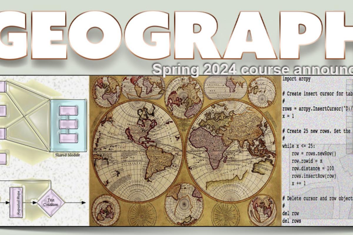
GEOG 4303 / 5303
GIS: Spatial Programming
Do you want to enter the job market as a competitive GIS modeler with programming skills? This course will help you get there. It focuses on the extension of geographic information systems (GIS) through programming as well as on the development of algorithms for spatial analysis and information extraction in vector and raster data. We will cover different concepts, principles and techniques of programming that help you to solve a variety of spatial problems in physical and human Geography. You will learn how to work with Python for Geoprocessing in ArcGIS as well as for spatial programming in gridded data using numpy, scipy and other open source libraries.
Furthermore, you will understand the basic ideas of object-oriented and procedural programming. You will develop skills to explore, handle, manipulate, and model spatial data as well as methods development. Lectures will include numerous demonstrations and hands-on examples as well as algorithmic exercises. In labs, you will work on solving typical programming and implementation problems that you will encounter in the real world. During the last weeks of the term students will work in small groups on a proposed project to deepen their programming knowledge, improve their GIS proficiency and train their presentation and communication skills.
Prerequisites:
- GEOG 4103/5103 or comparable is required.
- Working experience with ArcGIS 10x.
- Additional coursework such as GEOG 4203/5203 would be helpful.
- Programming experience is not a prerequisite.
GEOG 4321 / 5321
Snow Hydrology
Are you interested in the various processes related to snow in mid-latitude and polar areas? You will learn the physics and chemistry that underlie processes such as snow metamorphism, and apply this knowledge to real situations, including calculation of basin storage of water, runoff rates, acid snow, and avalanche dynamics.
The course will cover snow formation in the atmosphere, snow accumulation and distribution, snow metamorphism, avalanche dynamics, snow melt and runoff, remote sensing of snow properties, and case studies in the Rockies and Sierra Nevada.
Prerequisites are a physical geography course or equivalent, and a parametric statistics course.
GEOG 4403 / 5403
Space Time Analytics
We live in a dynamic and ever-changing world. Knowledge of the tools, techniques, and theories behind spatio-temporal data and analysis is therefore essential to understanding the dynamics of most systems on the planet. In this course, we focus on understanding processes (be they human, natural, social, or physical) through data-driven analysis and modeling of patterns in spatio-temporal data.
This is a 'taster' course, designed to introduce you to a wide range of topics and ideas around observing, modeling, and understanding dynamic systems in Geography. As such, we will cover a wide range of topics, including spatio-temporal data, machine-learning, modeling, visualization, time-geography, and various contemporary issues/new directions in spatio-temporal analytics.
This is an advanced course in quantitative and theoretical methods for spatio-temporal analysis. As such, some background in Python or R is highly recommended (though not required).
Prerequisites:
GEOG 4103/5103 with
GEOG 4023/5023 strongly recommended
GEOG 5563
Earth Analytics
This multidisciplinary course will address major questions in Earth science and teach students to use the analytical tools necessary to undertake exploration of heterogeneous 'big scientific data.' This course is designed for upper level (junior / senior level) undergraduate students and graduate students.
Throughout the course you will use computationally intensive techniques to address scientific questions. You will use a suite of different types of publicly available data including:
- Satellite and airborne lidar and spectral remote sensing data.
- Data collected using distributed in situ (on the ground) sensor networks.
- Social media data.
This course is technical. You will use the Python scientific programming environment and the Jupyter Notebook interface to work with data. You will code every week!
This course is developed by Earth Lab. Earth lab harmonizes the wave of earth observations from aerospace platforms to address, scientific challenges, and understanding the pace and pattern of global change. See colorado.edu/earthlab.