
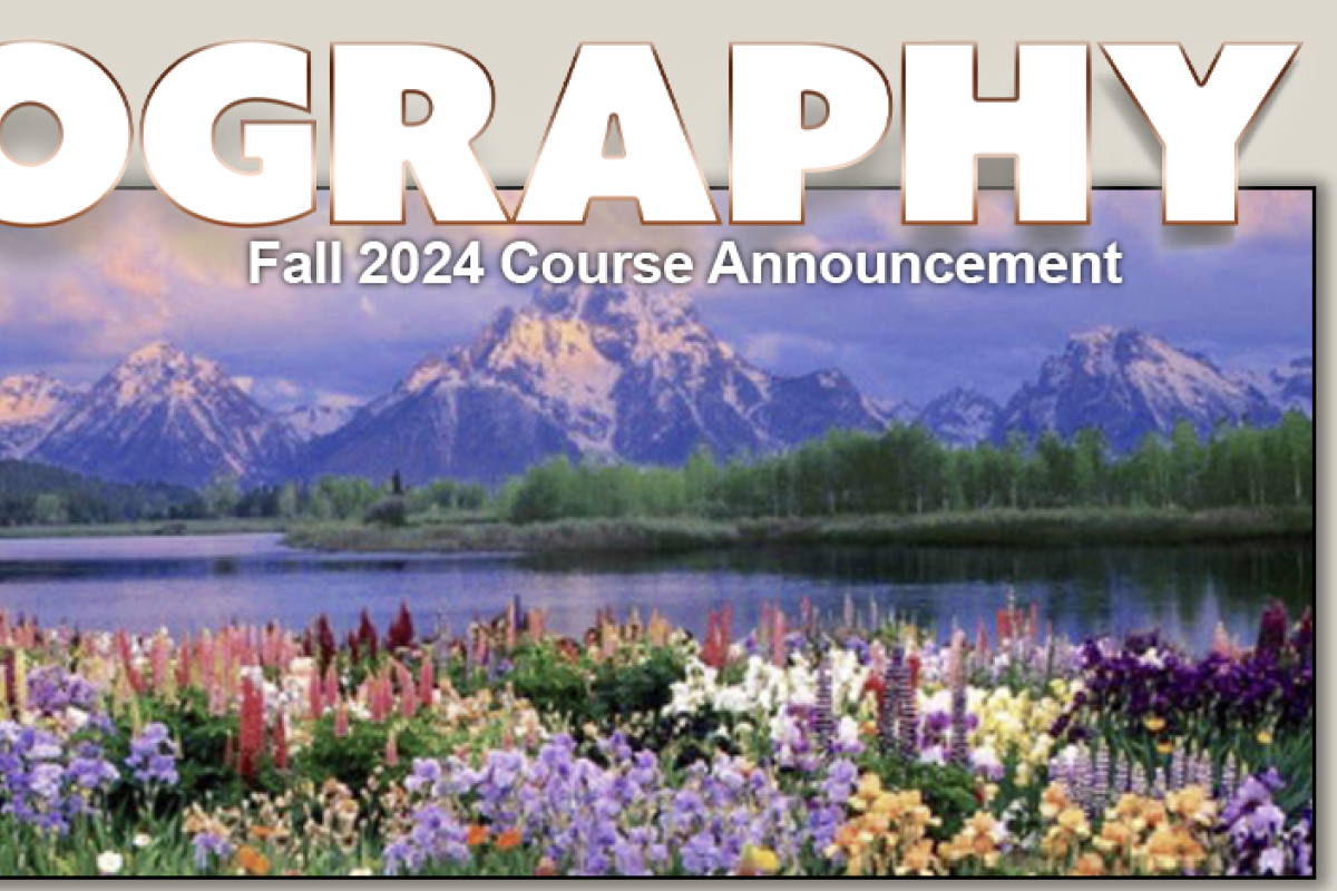
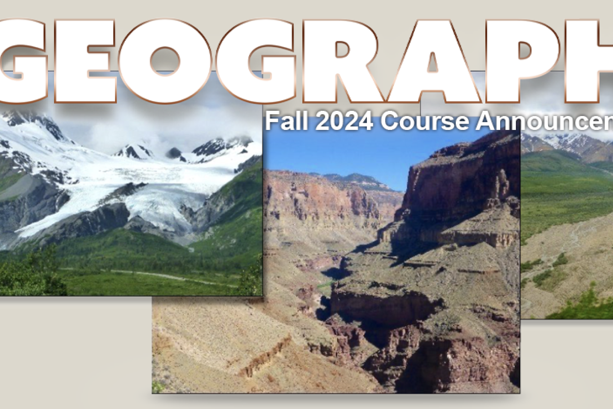
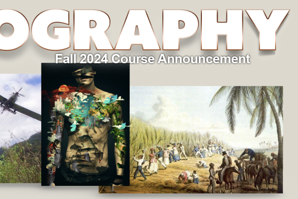
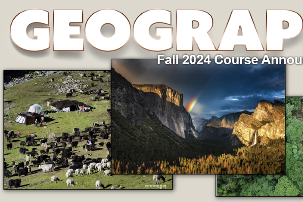
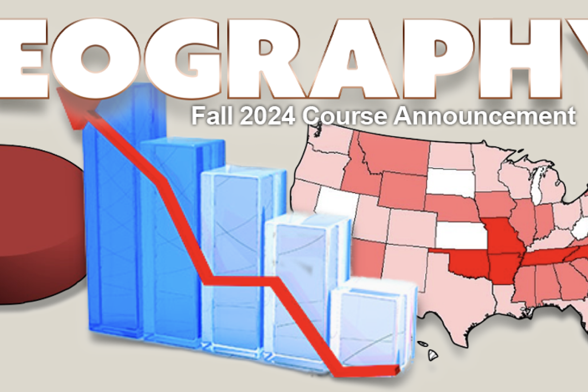
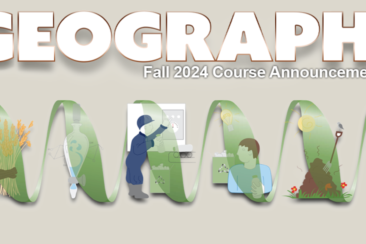
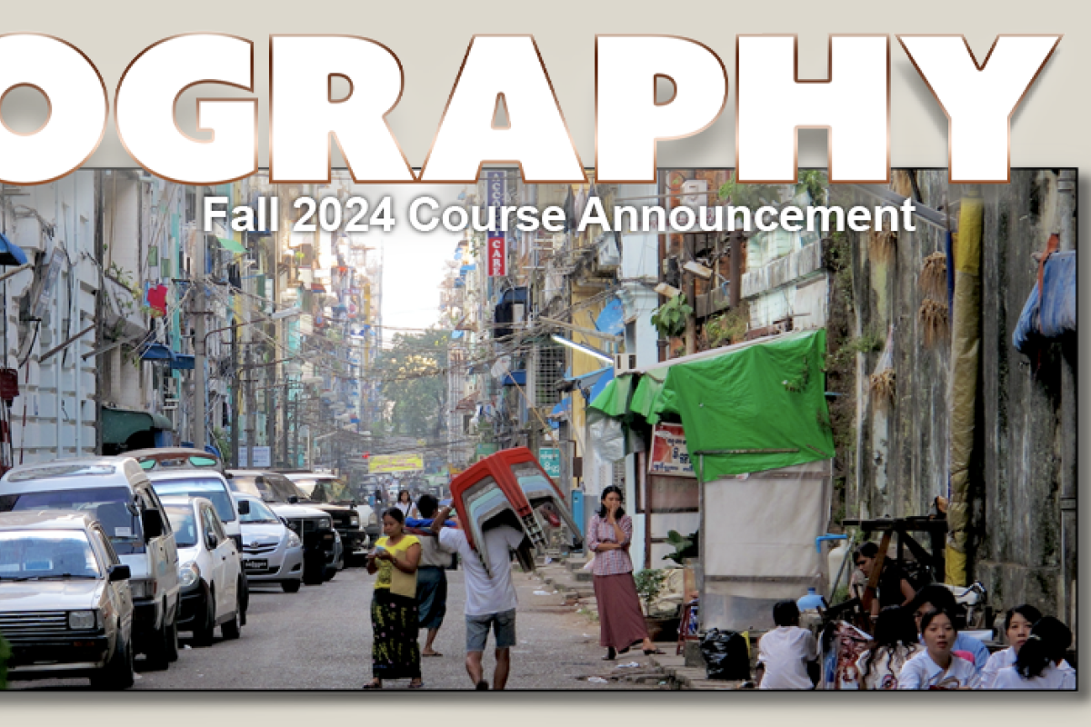
Fall 2023 Course Announcements
Go to the Fall 2023 Course Schedule page to see the schedule for all Fall 2023 courses and who the instructors are.
*Note: Continuing Education (CE) Classes are Billed Separately. If you enroll in both Main Campus and CE classes in the same term, CE tuition will be billed in addition to your Main Campus tuition. CE courses are not COF eligible.
GEOG 1001
Our Changing Planet: Climate and Vegetation
Mark Serreze
GEOG 1001-581* & 582*
Steven Welter
The objective of this course is to provide you with an introduction to the Earth’s climate system and patterns of world vegetation. We will emphasize the many linkages and feedbacks between the non- living (abiotic) and living (biotic) components of the earth system.
Topics we will cover include radiation, temperature, winds and pressure, the water cycle, climate change, and biomes. This course will prepare you for subsequent, more specialized courses in climatology, hydrology, ecology, and biogeography (ecosystems and cycles). This is a natural science course, and graphs and basic algebra-level math calculations will be used to help understand the concepts covered.
GEOG 1011
Our Changing Planet Landscapes and Water
Keith Musselman
GEOG 1011-581*:
Steven Welter
GEOG 1011-582*:
Margaret White
Earth’s landscapes – the natural surfaces composed of rock, soils, water and vegetation – are always changing. These landscapes host life and human activity. Knowledge of how the Earth’s surface changes is necessary to ensure public safety, provide food and water security, and support ecosystem management – and thus this knowledge is relevant to diverse career pursuits.
Topics covered include the basic geologic processes of plate tectonics, volcanoes, and earthquake. We then explore how the land surface is shaped by water and physical processes, focusing on weathering, soils, hydrology, fluvial processes, glaciers, climate change, and human impacts. By the end of the course, you will be familiar with the primary physical processes involved in the formation of the Earth’s landscapes. You should also be able to generally describe how these natural sciences are related to important scientific and societal issues.
GEOG 1962-581*
Geographies of Global Change
Taneesha Mohan
Some geologists argue we live in an epoch in which humans are the main geological agent on the planet’s surface, or what they call the Anthropocene. However, such a term does not explain which humans, where, and since when brought about such a significant transformation. Moreover, it evades discussions of intra-human differentiation, power, and scale. As such, we ask: how does our understanding of our current epoch define how we conceptualize contemporary issues, such as climate change, transnational migration, geopolitical conflict, and environmental pollution? In this course, we introduce and critique the notion of the Anthropocene through specific perspectives in human geography and political ecology. We also build a conceptual toolbox to analyze current affairs, such as labor mobilities and migration patterns, war and peace building, and the creation and spread of toxic environments. Through key concepts in Marxist and More-than-Human geographies, the course will allow you to engage critically and rigorously with mainstream narratives about globalization and interpret social, economic, political, and environmental changes from the planetary to the international to the molecular scale.
GEOG 1972
Sustainable Futures, Environment and Society
Shae Frydenlund
GEOG 1972-581, 582*:
Phurwa Gurung
The study of global environmental issues evokes one of the most profound questions of our times: What is, and what ought to be, the relationship between humans and the environment? To answer this, we must also ask: What is “nature” and how do people of different cultures conceptualize it differently? What drives human modification of the earth and its non-human inhabitants, and how are specific groups of people differentially affected by these modifications? What kinds of assumptions have led to the creation of certain environmental problems, and for whom or what are they problems? Topics we will cover include anthropogenic climate change; population and consumption; hazards, ethics, and environmental justice; conservation; food/ agriculture, water, and waste. We will draw from examples around the world to critically examine how environmental problems are defined and tackled and what this tells us about nature-society relations more broadly.
This class fulfills a MAPS requirement and a requirement for the Geography Major; it is also a great introduction to “Environment-Society” Geography Track.
GEOG 1992-581*
Human Geographies
Lauren Golder
Examines social, political, economic, and cultural processes creating the geographical worlds in which we live, and how these spatial relationships shape our everyday lives. Studies critical geopolitics, ecological change, international development, population dynamics, urbanization, and migration to explore how these processes work at global scales as well as shape geographies of particular places.
This class fulfills a MAPS requirement and a requirement for the Geography Major; it is also a great introduction to the “Human Geography” Track.
GEOG 2053
Mapping Our World
Sarah Schlosser
Do you know how to read maps and what different map types are used for? Do you want to know when you can trust that the information on a map is correct, current, or relevant to the world around you? Are you eager to learn how to use cloud-based Geographic Information Systems (GIS) to display and analyze geospatial data? Then this class is for you!
You will learn how maps are used in a variety of application fields (human geography, environmental justice, climate change, remote sensing, etc.), create web-based maps and apps, and analyze geospatial data to create meaningful visualizations showing the human and physical landscape including population parameters, public health, wildfires, topography, and much more. You will also learn how to read different kinds of maps and how to work with map scale and projections. We’ll talk about maps as propaganda tools and the ethics around map creation and use, including geoprivacy issues. The course does not assume previous experience with GIS, statistics, or mapping technologies. This course satisfies the mapping requirement for the Geography major and serves as a great introduction to the world of geospatial sciences and mapping.
GEOG 2271
Introduction to the Arctic Environment
Mark Serreze
GEOG 2271-581*
Steven Welter
The Arctic plays a key role in the global climate system and is a region in the midst of rapid change, encompassing the land, ocean and the atmosphere. In this course you will learn about the highly varied climates and landscapes that characterize the Arctic, the Arctic Ocean and its floating sea ice cover, the Greenland ice sheet, Arctic tundra, snow and permafrost.
The course will also emphasize the dramatic changes that are taking place in the Arctic, including rapid warming and a shrinking sea ice cover, and what these changes mean for the rest of the planet.
GEOG/IPHY 2692
Foundations in Public Health
Maureen Floriano
This course provides a comprehensive overview of public health as well as an in-depth review of specific public health-related topics. Beginning with historical overview, students will explore major public health concepts such as the basic principles of epidemiology, the biomedical basis of disease, social and behavioral determinants of health, and systems thinking. Students will be introduced to the concepts of measuring and evaluating the health of the populations, principles of communicable and non-communicable diseases, environmental and occupational health, the economics of health, and the role of public health workers in society.
GEOG 3023
Statistics and Geographic Data
Guofeng Cao
GEOG 3023-581*
Teresa Chapman
From fitness trackers to Facebook to polls on politics and other issues, our world is flooded with data. Careers in Data Science are in high demand, and technological and societal changes make data available on nearly everything.
In this course, we teach you how to understand and model the relationships between data and your world. You'll learn how to collect data, learn modeling techniques, and develop questions that we can answer with statistical methods. The course is hands-on and will guide you in using the latest statistical software to produce graphics, answer questions, and find patterns about the world around us.
This course does not assume any previous experience with statistics. It satisfies the statistics requirement for the Geography major, and serves as a great introduction to data modeling for any Geography major or minor.
GEOG 3053
Geographic Information Science: Mapping
Sarah Schlosser
GEOG 3053-581*
Teresa Chapman
Mapping and data visualization supports many tasks in Geography, Environmental Studies, Earth Sciences and Human and Social Sciences. Maps can help you explore spatial data, perform analysis, and present meaningful results. Knowing how to put together a database and process layers of terrain, water, roads, and thematic data (vegetation, population, etc.) in order to make a map is an extremely useful skill that many employers are seeking. Come learn what it is all about!
This course provides a technical introduction to mapping and information design in a GIS environment. We’ll cover principles of scientific visualization, graphical design, and mapping. You’ll learn how to manipulate scale, work with and change map projections, how to select informative colors, how to classify map data, and how to symbolize data, and how to quantify patterns of error on maps. In lab, you will design maps and create a working cartographic database. By the end of this course, you will be capable of creating high quality cartographic displays and work comfortably with Desktop ArcGIS software to process spatial data.
Some prior experience with Apple or Windows computing is expected. No previous experience in ArcGIS or mapping technologies is required. GEOG 3053 is a prerequisite for the Geography GIS courses. A beginning course in statistics is strongly recommended and may be taken concurrently.
GEOG 3251
Mountain Geosystems
Bharat Rastogi
GEOG 3251-581,582*
Meg White
The world’s mountains are fascinating and mysterious landscapes. Created by geologic activity, shaped by water and ice, and transformed by vegetation and human activity, mountain landscapes offer a unique perspective into historical and current events. Using mountain landscapes as our study area, this course will examine the interactions and connections among key topics in physical and human geography. Daily presentations and frequent hands-on activities will apply geographic concepts to the Colorado Rockies as well as mountain ranges around the world. To explore our mountain landscapes, local examples will be used to examine how wildfire impacts local forests and human communities, and investigate how historic mining and continuing human activities have shaped the mountain landscapes in our backyard.
GEOG 3402-581,582
Natural Hazards
Kirk Stueve
This class examines the interaction of society and natural extremes, with particular attention to exposure, vulnerability, preparedness, mitigation, and recovery from natural disasters. Our social science approach differentiates this class from courses on natural disasters taught as natural science, where the emphasis is on the physical processes (like tectonics and volcanism). We treat the subject as both an academic field of inquiry that provides insight into social structures, human behavior, and environment and society relationships, and as a professional field in which students learn methods and skills that can be applied to careers in environmental and hazards management. While we will briefly cover the physical science of hazards like hurricanes, floods, and earthquakes, the focus is on human geography: how people and institutions perceive and respond to hazards and how development in hazardous areas increases risk. Given the time, we will also briefly examine technological hazards and disasters.
GEOG 3412
Conservation Practice and Resource Management
William Travis
In an ever-urbanizing world, having an understanding of the systems that support, maintain, and optimize human conditions will be critical in responding to a changing climate. Through the lens of Resilience, this course looks at the nexus represented by urban settlements: where the demand for productive energy, water, and food systems all come together in support of human endeavors.
This course will utilize lecture, discussion, and exercises to explore both the nature of urban systems, and the primary drivers affecting their look and operation in the future. Students will learn from the Instructor and Guest Professionals, to identify and analyze the forms and functions of different systems, factors leading to their optimization, and trends affecting how they’ll look and operate in the future.
GEOG 3422
Political Ecology
Taneesha Mohan
‘The environment’ figures centrally in our daily lives and academic pursuits, from concerns over climate change and biodiversity loss, to water policy and the environmental consequences of rapid urbanization. Yet we rarely stop to consider the specific historical, political, cultural, and economic contextsof these issues.
A political ecology approach seeks to draw attention to the politics involved in mediating access to resources and in negotiating nature- society relations. This class will consider the power dynamics involved in knowing, managing, and making claims on the environment, including those related to gender, class, race, indigeneity and nationality. We will discuss the creation of political ecology as a specific intellectual perspective, and explore its value for understanding a diversity of topics including water, energy, food systems, urban environmental politics, and conservation in both the global north and global south. You will leave the class with a more complete view of environmental debates and the guiding principles that make political ecology a strong and exciting field.
GEOG 3511
Water Cycle
Keith Musselman
This course is about learning both the principles of hydrology as well as the techniques which can be used to solve hydrologic problems.
In practice, hydrologists have to quantify rates at which water is exchanged between the atmosphere, land surface, and the oceans. This often involves processing data and solving sets of equations. It is fairly easy to lose sight of the conceptual part of the problem once you focus on techniques.
Thus, one of our other goals is to give you a balanced view of hydrology--one that includes a description of the physical processes as well as a coherent presentation of the theories and techniques which are used in practice.
GEOG 3682
Geography of International Development
Taneesha Mohan
GEOG 3682-581*
Jessica DiCarlo
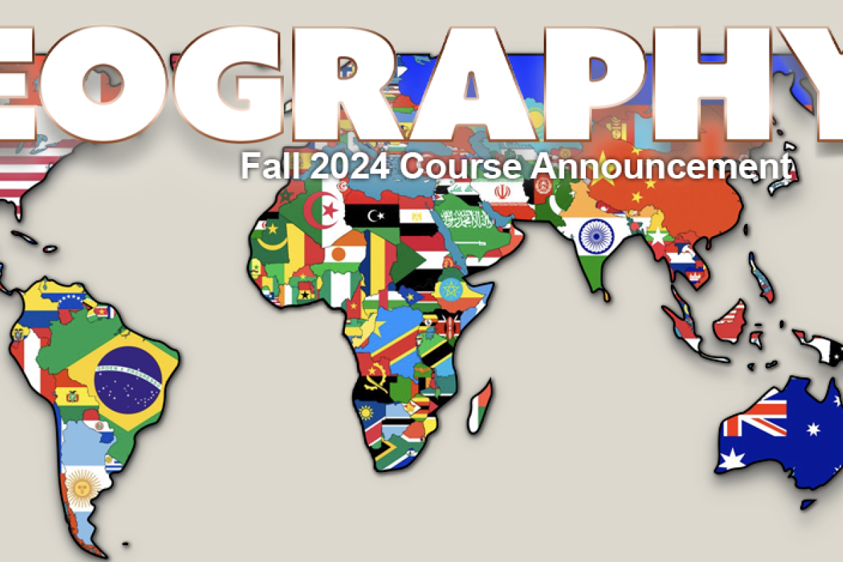
Today, amid rising global debates about migration, regional instabilities from the Mediterranean to the South China Sea, and transnational corporations increasingly involved in everything from poverty to governance to climate change, the politics of international development could not be more urgent.
What is the role of international assistance in a world marked by imperialism and inequity? How do actors in the “global South” deal with livelihood and governance issues that crosscut economics, politics, history and tradition? How is “Development” itself changing as the United State's place in the world is increasingly unsettled?
This course uses the lens and tools of human geography to explore these questions. Examining cases from Latin America, sub- Saharan Africa, South Asia, the Middle East and the Pacific Rim, this course surveys the changing terrain of international development at the dawn of the Twenty-first Century.
GEOG 3692
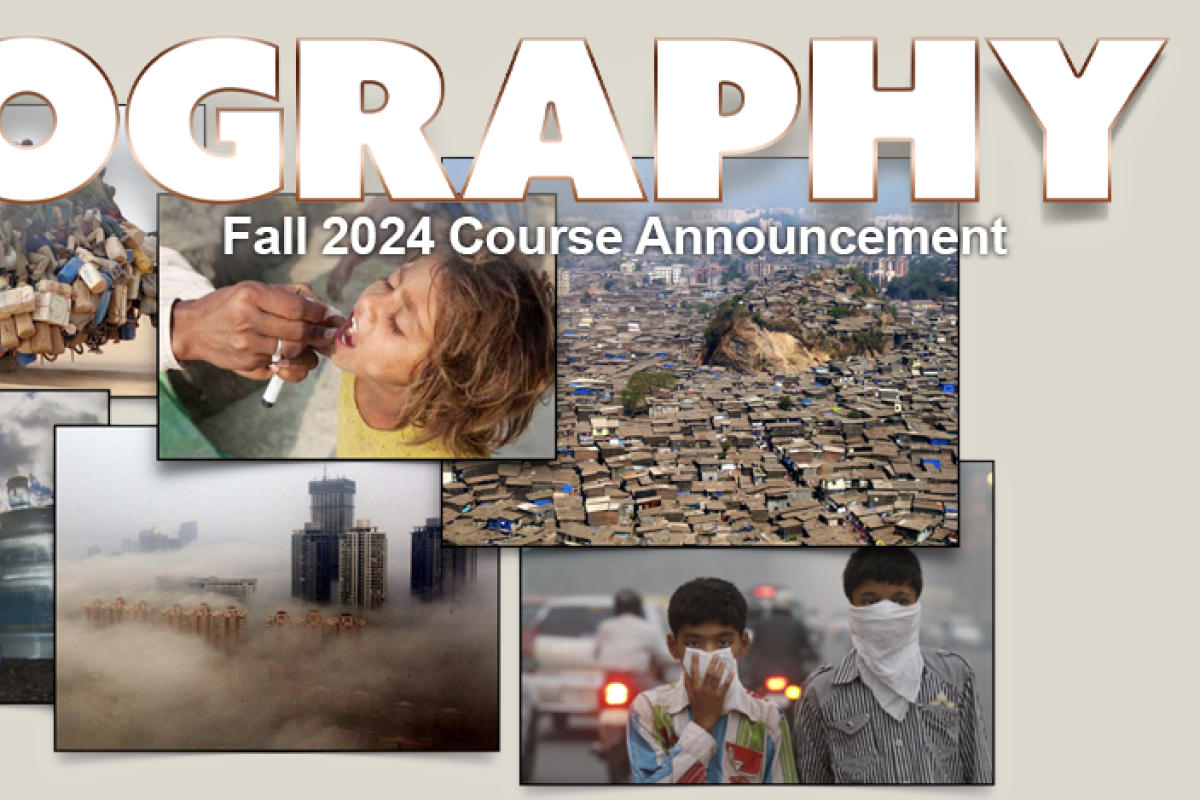
Introduction to Global Public Health
Maureen Floriano
GEOG 3692-581*
Juan Ramirez
GEOG 3692-582*
Caitlin Ryan
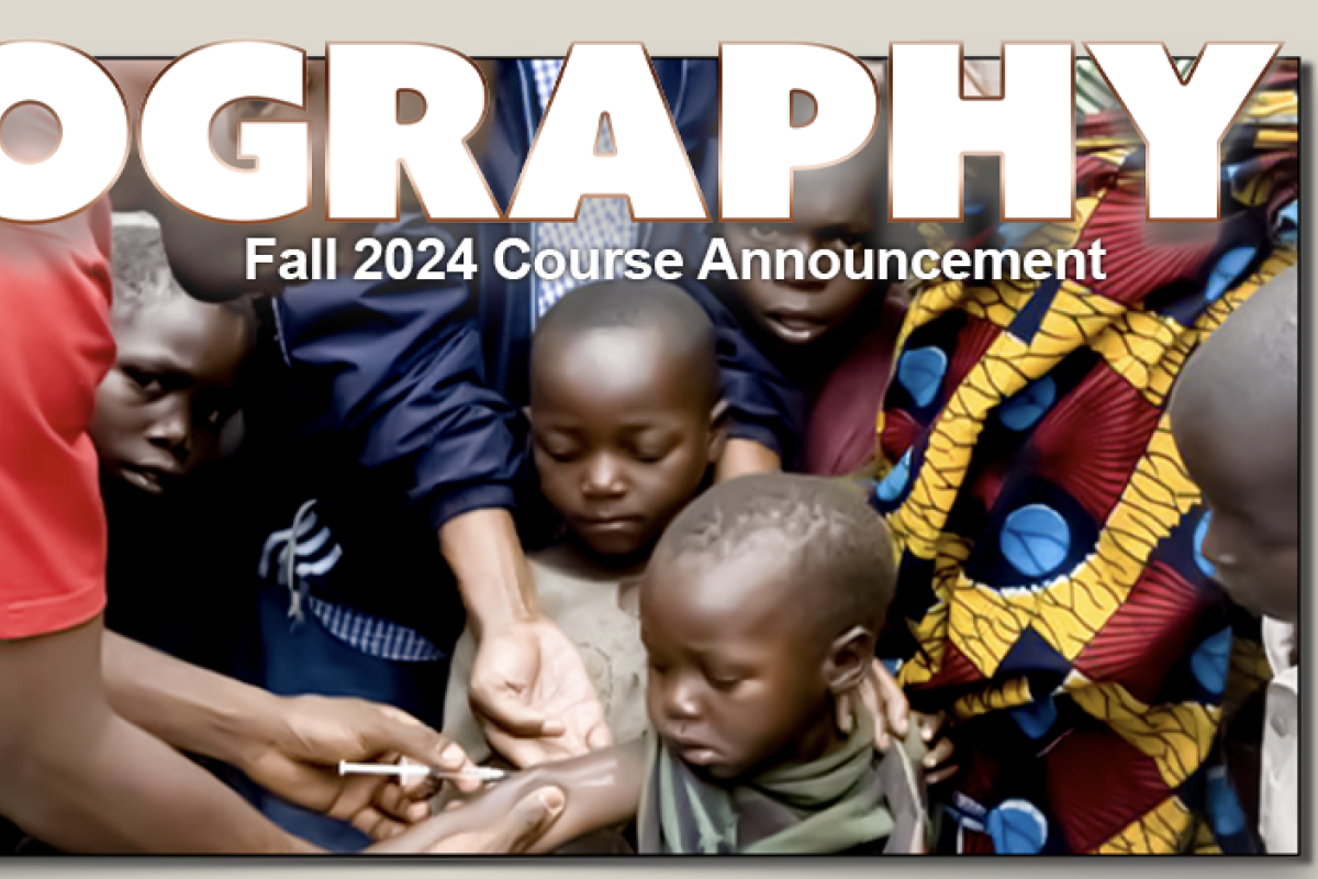
This course explores critical issues in global public health through a biosocial lens, incorporating the biological, economic, political, social and cultural influences on health. We take a candid look at the challenges of quantifying health as well as the issues of past health and development initiatives (with a focus on developing countries). We examine the tensions between intellectual property rights and the fundamental need for affordable medicines as played out in the cases of TB and HIV. We delve into the roles of the World Health Organization, nongovernmental organizations and ministries of health in addressing both infectious and non‐communicable diseases. We explore health care systems and consider the essential elements of systems which improve accessibility and quality of care for its citizens. We look at the future priorities of global health, including the impact of climate change on health. Students will read and discuss case studies on global health, conduct a guided semester-long research project on the health of a developing country, and take 3 non- cumulative exams. This is a 4-credit course.
GEOG 3742-581, 582*
Place, Power, and Contemporary Culture
Shruthi Jagadeesh
What is ‘power,’ and how are spaces produced through relationships of power? GEOG 3742 introduces students to key theories and contemporary debates in critical and feminist geography through a focus on the themes of power, space, and culture as conceptual frameworks. We will apply critical geographic perspectives on power to the topics of: colonialism and imperialism; states and territoriality; transnational migration and human rights; conflict and nationalism; environmental politics and social movements; and connections between local and transnational activism.
The course is structured around four units:
i) feminist geographies;
ii) postcolonial geographies;
iii)environmental injustice and queer ecologies;
iv) decolonial geographies.
While many of our readings are theoretical, we will draw from contemporary examples from different regions of the world – Canada, India, Iran, Lebanon, Mexico, Russia, Tajikistan, South Africa, Ukraine, United Kingdom – to ground our studies.
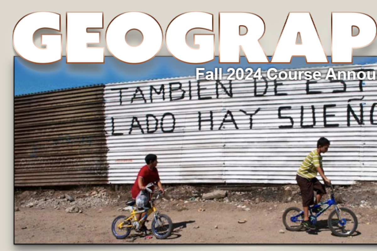
GEOG 3812
Geography of Mexico, Central America, and the Caribbean
Joe Bryan
"Poor Mexico! So far from God and so close to the United States.” This phrase is often used to characterize not only Mexico’s complicated geopolitical relationship to the United States, but also that of Central America and the Caribbean. This course develops a critical geographical approach to understand this sentiment, analyzing the social relation, physical qualities, and political economic divisions that shape this region. We will focus on the human dimensions of these relationships, developing an understanding of how this region has come to be, the forces that shape it, and its contemporary place in the world.
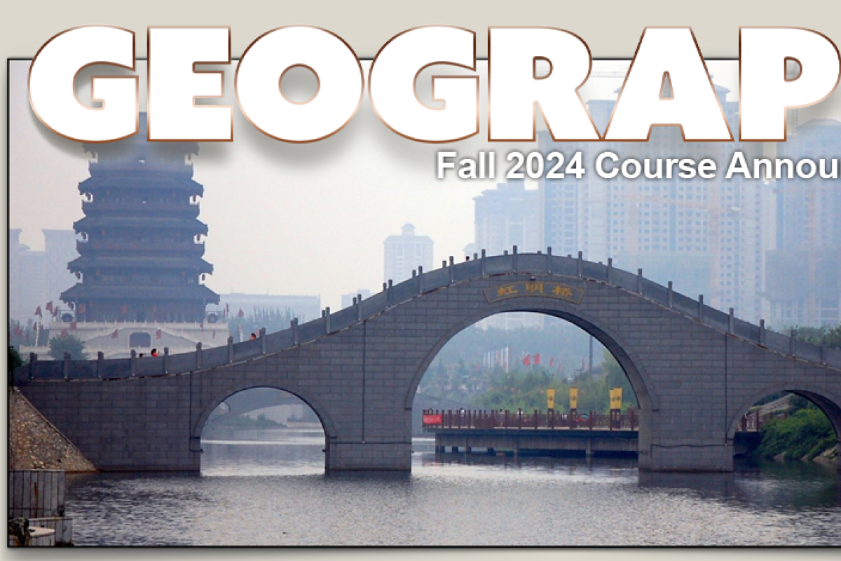
GEOG 3822
Contemporary China: Environment, Society, Politics
Tim Oakes
GEOG 3822-581*
Jessica DiCarlo
China is one of the fastest changing countries on earth. With hundreds of new cities under construction, rapidly accumulating wealth among the middle and upper classes, a precarious environment and resource-base, and rising geopolitical ambitions, understanding a changing China is more important now than ever before. Yet as China’s influence grows, it seems to become more misunderstood than ever.
This course aims to explore China’s changes, as well as dispel common myths about contemporary China, through the lens of human geography.
We explore China’s diverse environmental and cultural landscapes, its historical geography, and the challenges of rural development, urbanization, environment, energy, and climate change.
GEOG 4002
Topics in Human & Environment/Society:
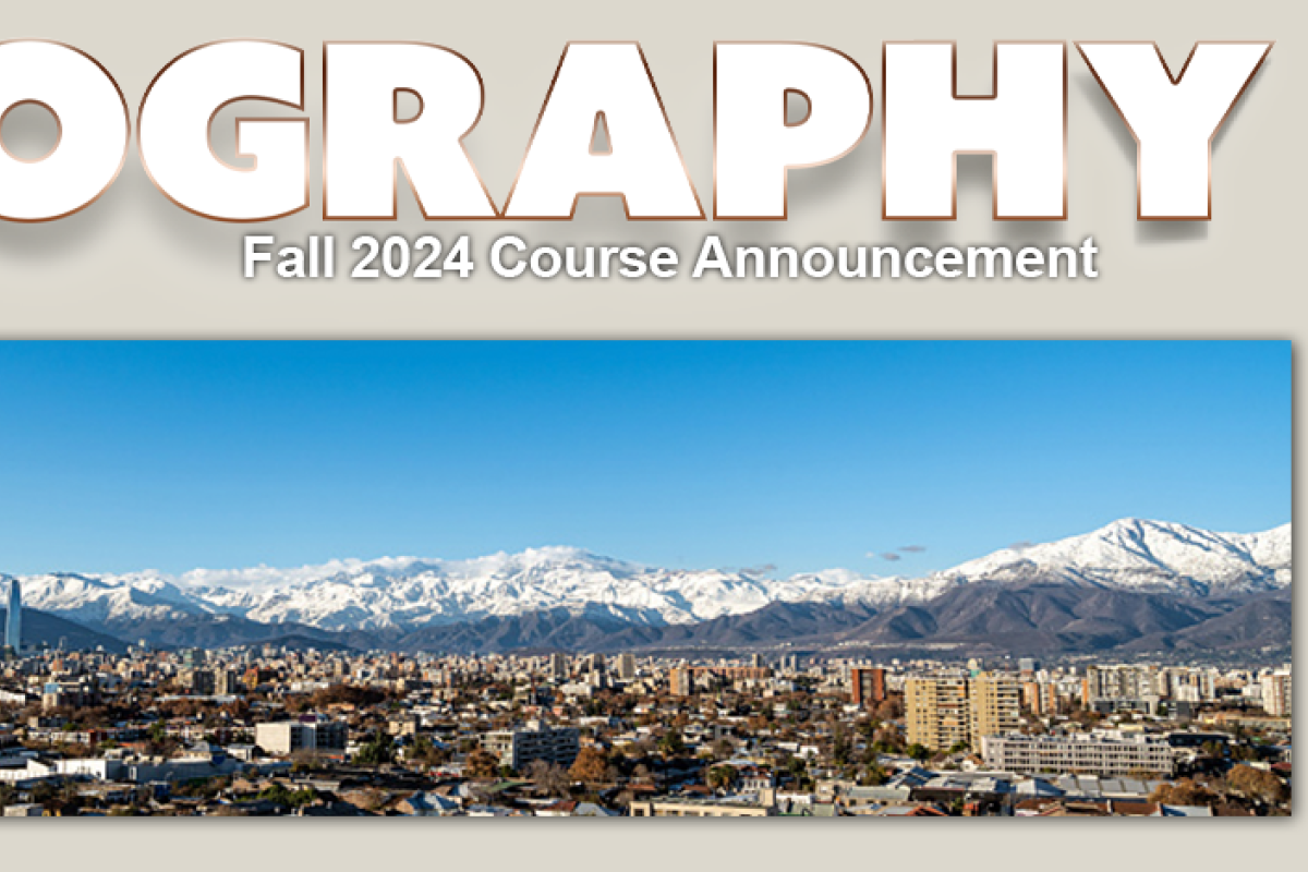
Geography of the Andes
Doris Loayza
This course explores the history, cultures, and politics of the Andean region of South America, including the nations of Colombia, Ecuador, Peru, Bolivia, Chile and Argentina, from pre-Incan times to the present, with an emphasis on land, indigenous people, and cultures. Throughout the course we will examine how those in power, from the ancient civilizations to the Inca Empire, from the Spanish colonial government to modern democracies have attempted to incorporate and/or exclude peasants and indigenous peoples from political inclusion and power. For example, in the current Peruvian political crisis, indigenous protesters from Quechua and Aymara communities have organized to demand political inclusion, and the State responded with violent military force.
Topics covered include the political and cultural impact of the conquest, land and labor systems, and global trends that have influenced the region, including international development, environmentalism, and neoliberalism. Other topics include popular uprisings and revolutions during colonial times, and how they influence the current politicization of ethnic identities, social movements, migration and mobilization in the Andes and beyond.
This course will be highly relevant for students in Geography, International Affairs, Anthropology, Political Science, and Environmental Studies. It also fulfills a requirement for the Certificate in Latin American and Latinx Studies, and complements the Quechua language program.
GEOG 4003/5100-010
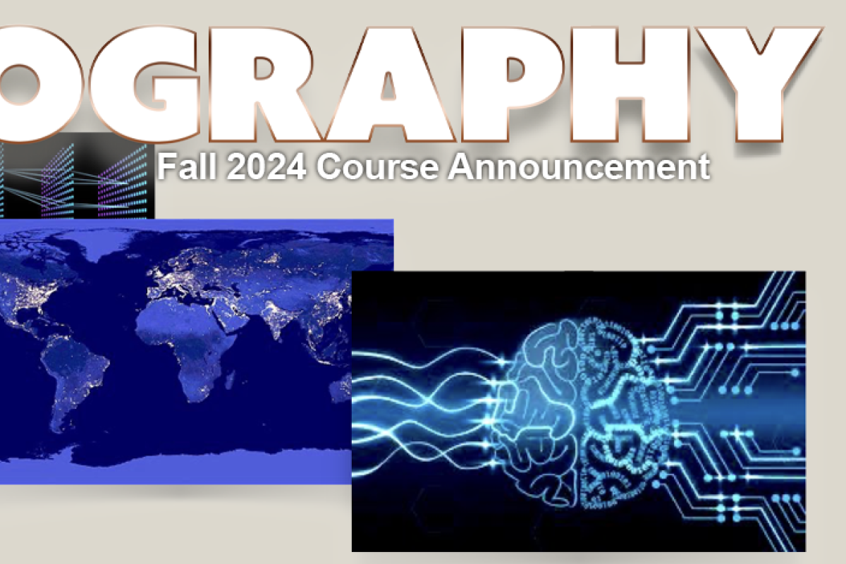
Topics in Geographic Skills: Machine Learning & Spatial Data
Morteza Karimzadeh
The ever-increasing volume and heterogeneity of data made available through high-resolution sensors, field observations or crowdsourced data create unique challenges and opportunities for generating information and knowledge. In the last decade, data science has emerged as an interdisciplinary field leveraging data-driven scientific methods and systems to extract insight from such large volumes of structured and unstructured data. Central to data science, machine learning-based approaches are increasingly utilized in the sciences and industry for data integration, analysis and prediction. The advances and accessibility of cloud-based hardware and libraries have made these methods even more accessible to practitioners and researchers in every domain, including geospatial, social and environmental sciences.
Building on the latest advances that make data science and cloud infrastructure available to non-experts, this course will focus on applied machine learning in the geospatial sciences. We will cover novel data- driven approaches to analysis, modeling and prediction using conventional and novel spatial data. Specific topics covered include machine learning basics, model evaluation and comparison, random forests, support vector machines, and various flavors of deep learning, all from an applied perspective. We will also use accessible cloud computing infrastructure for spatial analysis of remote sensing satellite imagery.
Spatial Data Science will be a hands-on course, with lectures to explain the concepts and interactive lab components to implement the methods and apply to real-world data via Python in Jupyter Notebooks, Google Colab environment, and Google Earth Engine.
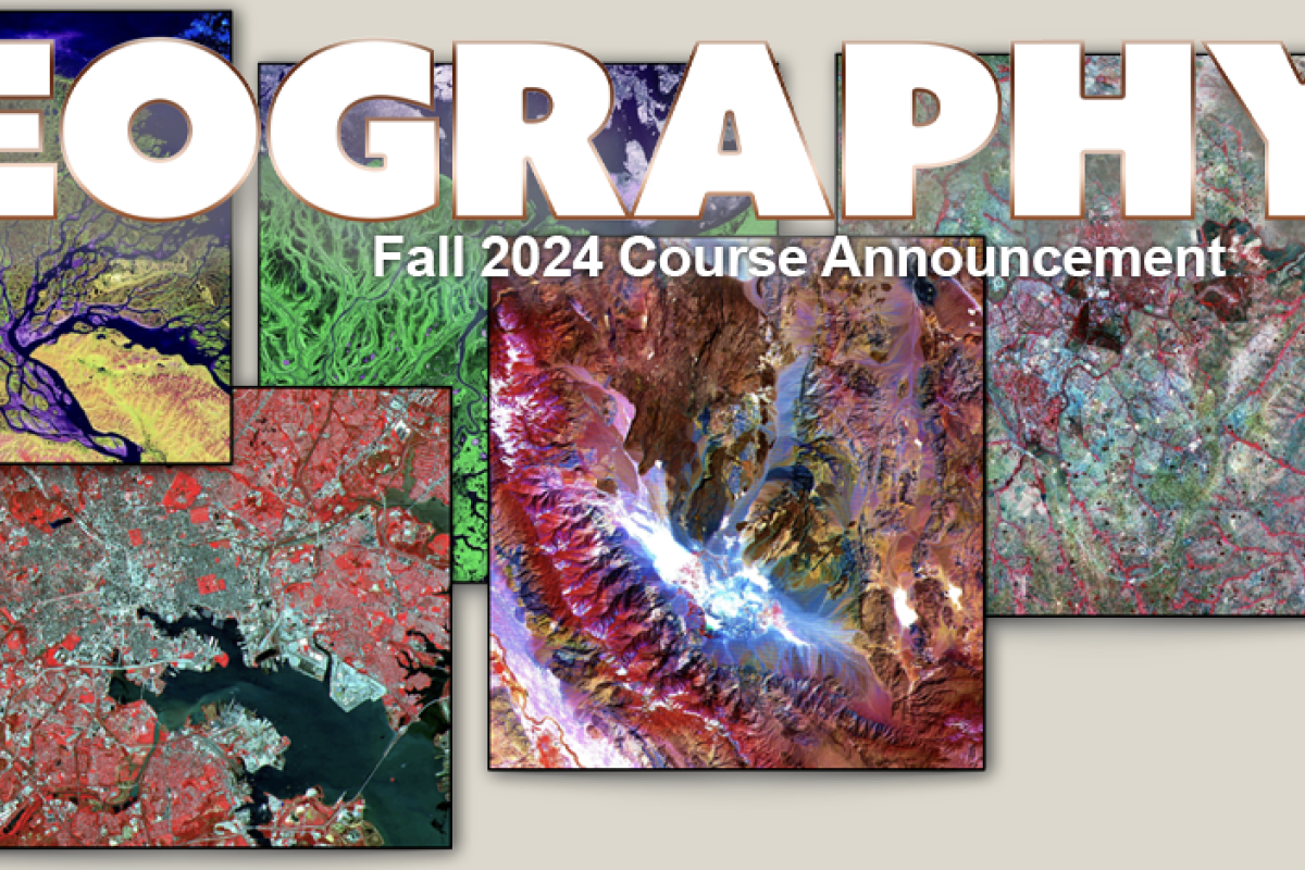
GEOG/GEOL 4093/5093
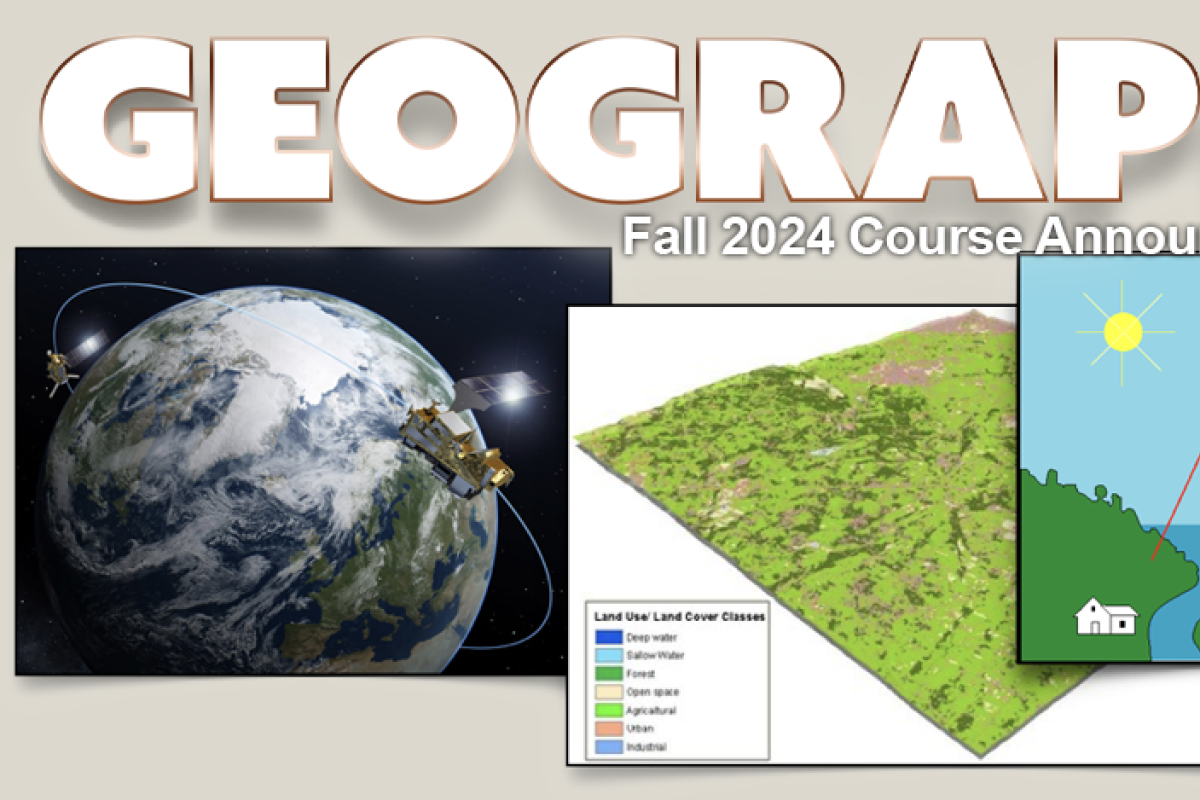
Remote Sensing of the Environment
Rachel Isaacs
Global environmental change is one of the most pressing international issues of this century. There is a need to monitor the earth’s vital signs from atmospheric ozone to sea level change.
Satellite data sets are critical for monitoring regional and global changes, determine natural variability of Earth systems and addressing fundamental global change issues.
The course is designed to introduce students to the techniques of remote sensing measurements of environmental parameters from aircraft and satellite platforms. The course is based on the application of simple physical principles of electromagnetic radiation. Different sensing systems such as electro-optical systems, passive microwave systems, ranging systems, and scattering techniques will be discussed with applications for the atmosphere, cryosphere, lithosphere, and biosphere.
GEOG 4103 / 5103
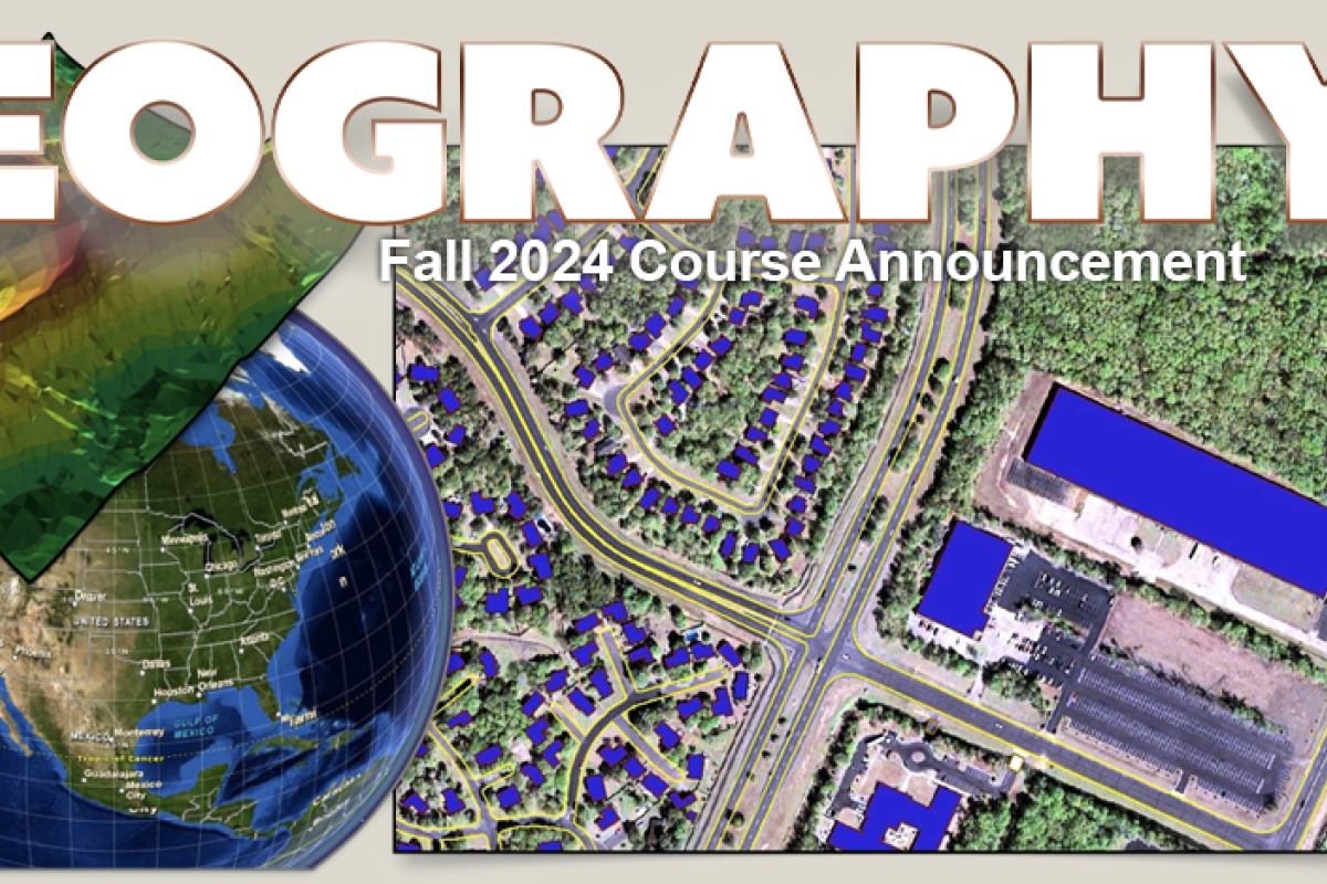
Geographic Information Science: Spatial Analytics
Stefan Leyk
Prerequisites: GEOG 3053 (GIS: Mapping) or similar, GEOG 3023 (Statistics and Geographic Data)
Are you ready to bring your GIS skills up to the next level? This course introduces the theoretical concepts and advanced use of Geographic Information Systems (GIS). It focuses on the nature of geographic information, the management of geospatial data and available methods for geographic analysis and geoprocessing to perform advanced and complex modeling in a GIS environment. Lectures focus on the theoretical basis of GIScience, the understanding of spatial algorithms and the development of a critical attitude toward GIS operations and model outputs. During lab sessions students will be able to apply the concepts and techniques presented in lectures and become well-trained in using GIS software. The aim of this course is that students understand elementary GIS theory, have a working knowledge of ArcGIS, and be able to develop GIS-based solutions for spatial problems, independently. In short: You will be ready for starting your professional GIS career.
GEOG/ENVS 4201
Biometeorology
Peter Blanken
Biology + Meteorology = Biometeorology
Those with an interest in exploring how weather affects life will enjoy this course. We will explore how the atmosphere affects plants, animals, and people. Topics ranging from water flow through plants to heat stroke and windchill effects will be covered. Basic high school level mathematical skills are required.
GEOG 4203/5203
Geographic Information Science: Spatial Modeling
Rachel Isaacs
Prerequisites:
- GEOG 4103/5103 or a comparable introductory course is required, OR instructor permission
- A basic course in statistics or quantitative methods; OR Instructor permission
- Working experience with ArcGIS
- Programming experience is not required
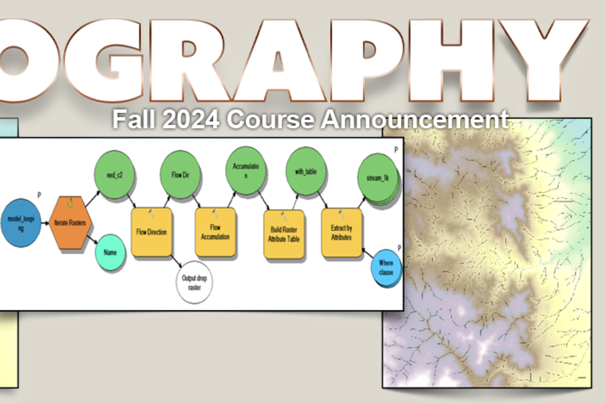
Did your first GIS class create an interest in learning more advanced skills? Are you getting ready to start an undergraduate or graduate research project that requires spatial modeling and analysis, but you’re not sure how to get started? This class is for you! You’ll extend skills and principles, gain confidence in your GIS knowledge, and get hands-on technical experience with the full spectrum of GIS modeling. You will learn to implement line-of-sight models, proximity models, design hydrologic and terrain analyses, and work with point interpolation and kriging, dasymetric small area estimation, weighted criteria estimation, sensitivity analysis, and modeling landscape change. You will learn best practices for exploring data and using models to search for patterns that will help you in many areas of physical and social geographic analysis and environmental modeling. You'll work with raster data in a visual programming environment, learning automation and GIS scripting methods that will help you in your own research or in a job or internship. This class provides an excellent transition between Introductory GIScience (GEOG 4103/5103) and GIS Programming (GEOG 4303/5303).
The class format includes lectures, weekly in-class demos and exercises, and weekly lab assignments, each on a specific modeling task. In the second part of the semester, students will work in small groups to design, run and evaluate GIS models for projects they choose, with guidance from the instructor and TA. Each group will present project results to the class and complete a report to be handed in the final week of term. Project leaders will design and manage the project and the group activities, learning basic project management skills by working one-on-one with the instructor.
GEOG/GEOL 4241
Earth Surface Processes
Katherine Lininger
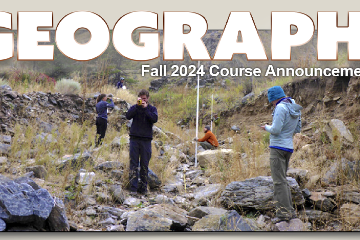
This class investigates the physical forms on Earth’s surface and the processes that shape those forms. The Earth’s surface is modified by water, ice, wind, and biota. Geomorphic science draws from many disciplines, including geology, geography, physics, chemistry, and biology. The lab portion of the course will include quantitative problem solving and field trips to collect and analyze geomorphic data on hill-slopes and streams.
Upon completion of the course, students will have mastered knowledge about diverse surficial geologic processes and landforms, implemented geomorphic analyses through lab exercises and in-class activities, and applied core geomorphic principles to diverse landscapes, including hill-slope, glacial, fluvial, eolian, and coastal environments.
GEOG 4371/5371
Forest Geography: Principles and Dynamics
Rachel Isaacs
Are you interested in forest ecology and in getting hands-on field experience for a future career in the environment? Have you ever wondered how trees grow so large and live so long? Are you curious about how disturbances such as bark beetles and fire impact our Colorado forests?
If you answered yes, then you should register for Forest Geography!
In Forest Geography, we combine a mixture of field trips, in-class labs, critical thinking, and lectures to give you a strong foundation in forest ecology. When possible, we try to hold class outside because it is easier to learn about trees when you can see and touch them!
GEOG 4463/5463
Earth Analytics Data Science Bootcamp
Elsa Culler
Advance Earth Science by Harnessing the Data Revolution
This introductory, multidisciplinary course will equip you with the core scientific programming skills to efficiently work with earth systems data in Python. No programming experience is required to take this course.
Through this course, you will learn to:
- Work with the spatial and time-series data structures necessary to get started with earth data science.
- Write reproducible earth data science workflows to turn raw data imports into compelling data-based graphics.
- Reduce redundancy and maximize efficiency through modular programming.
- Track changes in your code, collaborate with others, and start building an earth data science portfolio using GitHub.
- Take your GIS skills to the next level with powerful and industry-standard open-source tools that support continental- and global-scale studies.
GEOG 4501/5501
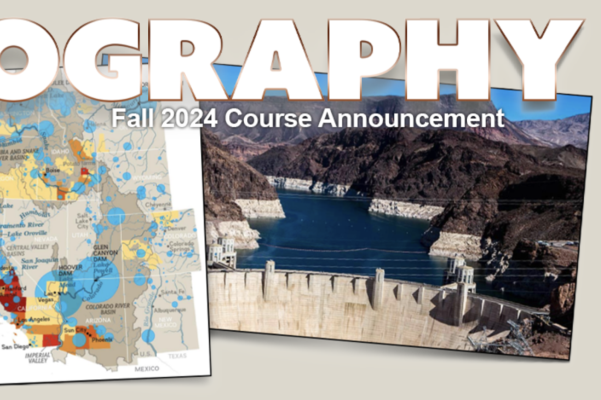
Water Issues in the American West
Bill Travis
This course serves upper-division undergraduate students and grad students. It starts with a broad geographical overview of water resources in the American West, drawing on primary and secondary literature to define the physical and social dimensions of western water and to explicate key elements like regional hydrology (e.g., snowpack and runoff), urban/industrial/agricultural demand and use, and the physical (e.g., dams, canals, and tunnels) and institutional (e.g., water rights, allocation compacts, legal precedents) mechanisms by which water is managed for economic and ecological values. The coursework leads to a capstone project addressing key issues in water managements, with groups investigating subjects such as the effects of climate change, revising the Colorado River Compact, urban-rural interactions, and specific water system case studies. Students will become conversant in detail with selected aspects of western water that can be a base for expertise and career tracks associated with water resources analysis and management.
GEOG 4712
Political Geography
John O’Loughlin
This course focuses on the international and cross-national perspectives of political geography. It deals with political, economic and social aspects of international relations from a geographical perspective and examines the post Cold War and post 9-11 world. As such, the course has an integrative character and requires basic knowledge about international affairs. Frequent reading of a substantive newspaper or magazine, such as The New York Times, The Guardian, Christian Science Monitor, the Economist or the BBC News webpage (news.bbc.co.uk) would help significantly to acquire (or develop) knowledge of global locations and current events.
The course is designed for the upper-division level. It surveys some important aspects of the discipline of political geography but does not engage in a systematic survey of regional issues and conflicts. Instead, case studies of contemporary developments, including the role of nationalism in global South states, the geopolitics of rising powers like China and India, and the causes of environmental and natural resource conflicts in sub-Saharan Africa and South Asia, are used to illustrate key concepts from the lectures and readings.
GEOG 4852/5852
Health and Medical Geography
Colleen Reid
Why is your health defined by where you live? How can geographical statistical analyses help us understand the drivers of ill health and also plan interventions to promote health?
Health and Medical Geography focuses on geographical aspects of health and disease such as the importance of “place” and history, access to healthcare, social relationships, and the physical environment. In general, the most important disease systems are complex and require interdisciplinary perspectives. This course is designed to develop a foundation in understanding the multifactorial determinants of health and an understanding of the role of spatial analysis in epidemiology. In this course, through lectures and in-depth case studies, you will gain an understanding of the multifactorial determinants of health and how to understand how geography plays a role in determining the location and spread of health and illness throughout the world.
GEOG 5241
Topics in Physical Geography: Fluvial Geomorphology
Katherine Lininger
This graduate level course will cover aspects of fluvial geomorphology, which is the study of rivers and how they shape the landscape. In the course, we will link river channel forms with the processes that create those forms.
Topics covered include river hydraulics, sediment transport, drainage networks, channel forms and patterns, interactions between ecological and geomorphic processes in rivers, and some discussion of river restoration and management. The course will combine lectures, discussions, and field trips.
Students will gain a strong understanding of fluvial geomorphic processes, gain experience collecting and analyzing field data, and interpret and analyze literature on fluvial geomorphology.
*Continuing Education Classes are Billed Separately. See course notes for billing details.