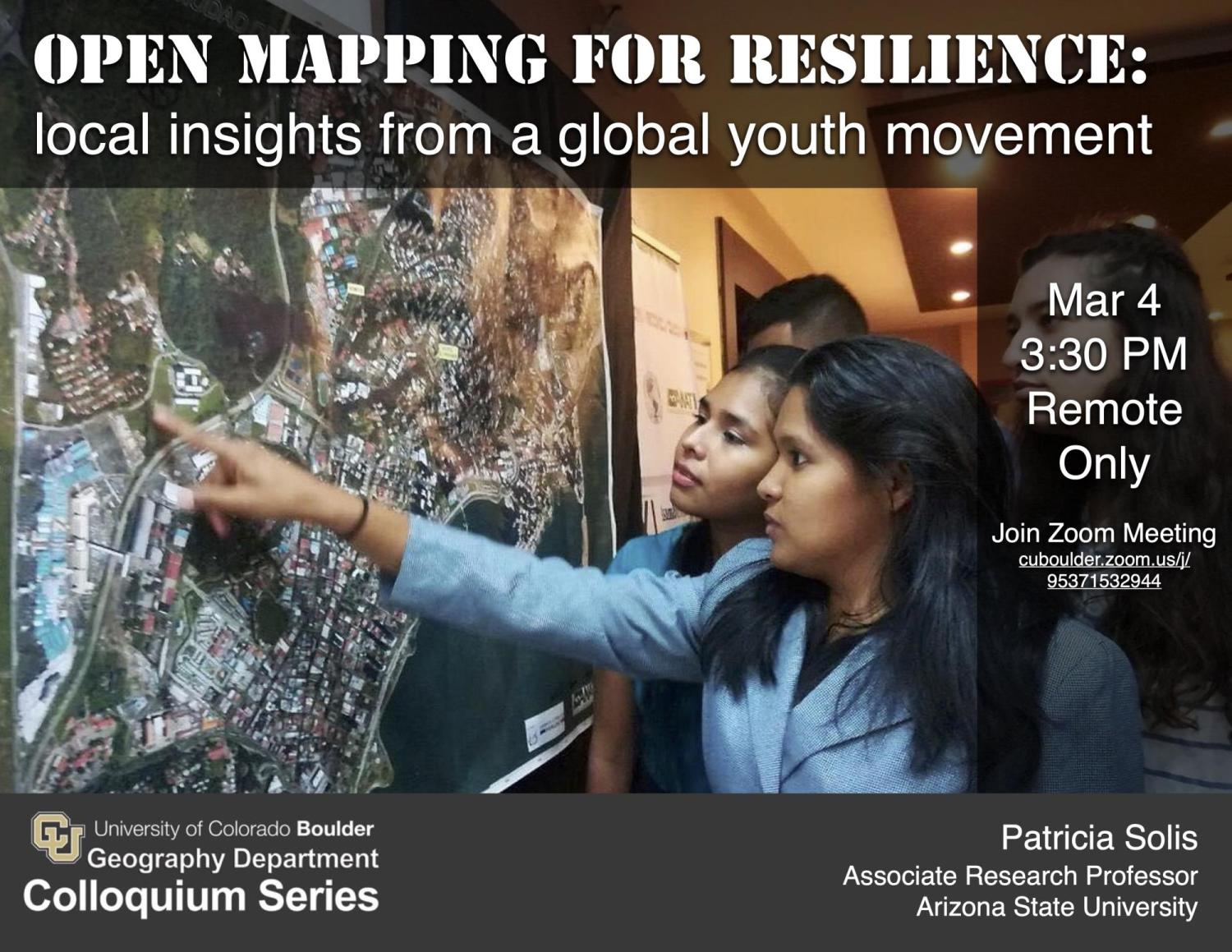
Open Mapping for Resilience: local insights from a global youth movement
Patricia Solís, PhD
- Executive Director, Knowledge Exchange for Resilience, Arizona State University
- Associate Research Professor, School of Geographical Sciences and Urban Planning
- Senior Global Futures Scholar, Julie Ann Wrigley Global Futures Laboratory
- CoFounder and Director, YouthMappers
- President, PanAmerican Institute of Geography and History (OAS)
Mar 4, 2022, 3:30 PM
Join Zoom Meeting: Zoom account required to login. You can get an account at zoom.us if you don't already have one.
Abstract
Increasingly ubiquitous spatial technologies offer the opportunity for new actors to participate in creating knowledge about the places where they live and work, and where they navigate the shocks and stresses of an uncertain world. This presentation offers insights about the challenges, results, shortcomings, and potential of university student engagement through the experiences of YouthMappers and the institutions that support them as a hybrid movement. This inclusive international network of youth-led chapters on nearly 300 campuses in 62+ countries organize, collaborate, and implement mapping action that respond to needs around the globe – creating and using spatial information that is made publicly available through open platforms. Specific examples illuminate the possibility of a role for formal institutions of higher education to serve as a ‘third space’ (Soja 1996) for youth as ‘digital humanitarians’ (Solís et al 2020). For example, in Sierra Leone, YouthMappers on motorbike are mapping fundamental features like buildings footprints, tracing streets, and pinpointing where utility poles dot the landscape using GeoAI tools under our campaign called Everywhere She Maps. Understanding settlement patterns, road connectivity, and the layout of current low-voltage distribution networks, speeds up and scales up design for solar microgrids in rural communities, where lack of electricity disproportionately impacts women. In another example, mapping revealed stark inequalities in adaptive capacity under housing insecurity and extreme heat in Arizona. Analysis indicated the need to re-characterize metrics of social vulnerability that inform response policies to include specific housing-type factors. These and other examples provide insights about both the power and the limits of open spatial technologies in the hands of students working to build a more resilient future.
Download Printable Colloquium Poster
Presentation Video
[video:https://vimeo.com/689056431]


