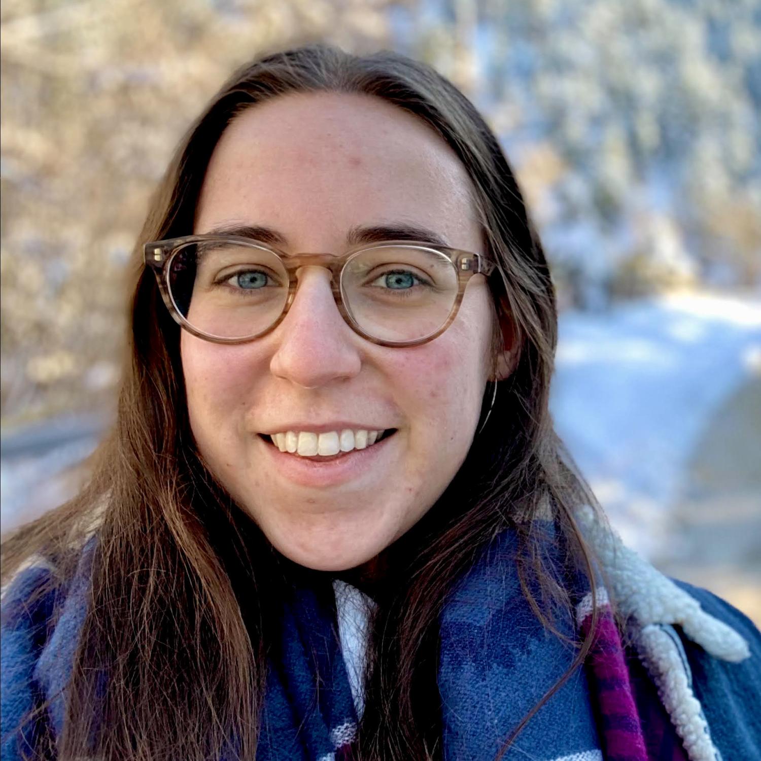
Graduate Student Update: Katie Tyler
Kathryn (Katie) Tyler is a second year master’s student whose research focuses on addressing gaps in public transit service. More specifically, she is examining bus networks in four US cities using GIS multi-criteria suitability modelling. Her research is largely motivated by the positive climate and social benefits of public transit. Public transportation has the potential to drastically reduce greenhouse gas emissions and alleviate negative public health outcomes associated with current transportation systems which are dominated by passenger cars and highway driving. Additionally, with increasing competition from ridesharing, inadequate infrastructure investments, and uncertainty surrounding COVID-19’s effects on public transit, it is critical to study how public transportation services can be improved.
The four cities that Katie’s research focuses on - Denver, Austin, Las Vegas, and Sacramento - are all experiencing high rates of population growth and were selected because of their similar population size and demographic characteristics, with differing levels of bus service. These places are experiencing patterns of growth similar to many other American cities such as Orlando, Charlotte, Portland, and Columbus where this research may also be applicable. In the face of nationwide bus ridership decline, cities that have redesigned their bus networks have been able to retain or increase ridership as a result of improved service.
Katie’s research uses GIS to perform multi-criteria modelling, making it easy to establish the relative importance of multiple criteria such as population density, job density, business locations, and transport-vulnerable populations. This research will provide a comprehensive comparison between two specific multi-criteria modelling methods: Boolean overlay and Analytical Hierarchy Processing (AHP). Few research articles compare different suitability modeling methods side by side. The ultimate goal of these models is to identify high priority areas for expanded bus service and to identify bus stops that may have a mismatch between their service frequency and the need for service at that location.
Katie recently received the GIS in the Rockies (GISITR) scholarship award for her research. This award is given to a student in the Rocky Mountain region (Idaho, Montana, Wyoming, Nevada, Utah, Colorado, Arizona, and New Mexico) for original and promising geospatial research. She accepted the award and presented her research at the virtual GIS in the Rockies conference this past September.


