
Soils, sediments, and the legacy of medieval agriculture in Czech plužina landscapes
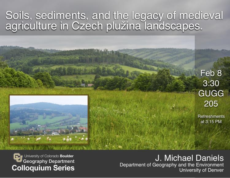
Hedgerow-defined agricultural landscapes in southwestern Czech Republic provide an opportunity to extend our understanding of human-induced erosion beyond decades to centuries. Floodplain sediments in the study area represent suitable archives for interpreting landscape-scale environmental changes associated with early agricultural land clearance (c. 1300 CE). X-ray florescence spectroscopy reveals changes in minerology and geochemistry that can be correlated with human activity. Pollen analysis also provides a mechanism for fingerprinting anthropogenically-derived sediments. Floodplains of small, medium, and large watersheds all contain fluvial sediment corresponding to the 14thcentury episode of intensive deforestation, but none of these fluvial archives reflect dramatic changes in sedimentation rates or processes. Detailed analysis of hillslope source areas using electrical resistivity tomography and high-resolution photogrammetry helps quantify the sediment trapping capabilities of field-boundaries. As a consequence of the landscape-scale field pattern established over 700 years ago, hillslopes have been largely de-coupled from downstream floodplain sinks. From a geomorphologic and pedologic perspective, this multi-functional landscape serves as a potential model for sustainable agricultural land management over centennial timescales.
J. Michael Daniels, Ph.D.
Associate Professor
Department of Geography and the Environment
University of Denver