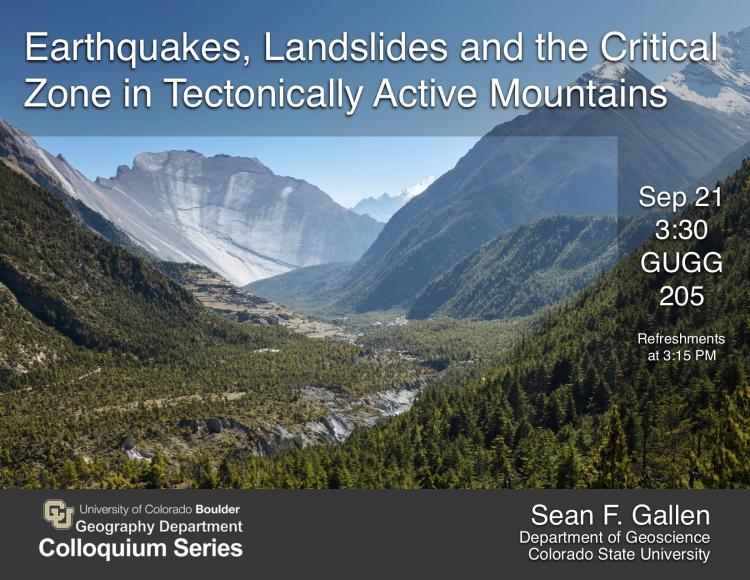
Earthquakes, Landslides and the Critical Zone in Tectonically Active Mountains

Affiliation: Department of Geosciences, Colorado State University
Abstract:The Critical Zone is the thin layer of terrestrial Earth where interactions between the lithosphere, hydrosphere, biosphere and atmosphere occur. Through these interactions, the Critical Zone sustains most terrestrial life and is a part of the various feedbacks that maintain long-term climate stability on Earth. Tectonically active mountain belts dominate global denudation and chemical weathering fluxes and, through the weathering of silicate minerals in the Critical Zone, act as a major sink of atmospheric CO2over geologic timescales. Most of our understanding of Critical Zone processes is gleaned from small-scale case studies in well-instrumented catchments in relatively slowly eroding settings. However, knowledge gained from such studies might not be transferable to rapidly eroding, tectonically active landscapes, where stochastic landsliding dominates physical and chemical fluxes and logistical challenges inhibit application of traditional methods. In this seminar, I present research that aims to better understand the Critical Zone in active mountain belts through the lens of earthquake-triggered landslides. Using simple models earthquake-induced erosion and chemical weathering, I argue that the earthquake-cycle plays an important role in hillslope erosion and weathering. I then discuss the utility of earthquake-triggered landslides as a tool to probe the Critical Zone at unprecedented spatial scales. Large earthquakes deliver a strong “punch” to the landscape, which in mountainous settings often results in tens of thousands of slope failures. I demonstrate how we can exploit the relationship between earthquake-induced ground shaking and the degree of landsliding to determine the bulk strength of rock and soil within tens of meters of the land surface. Using three well-documented earthquake-triggered landslide events (Mw7.9 Wenchuan, Mw6.8 Northridge, and Mw7.8 Gorkha earthquakes), I show that rock strength is an order of magnitude lower than laboratory measurements, and that rock-type is a poor predictor of spatial trends in rock strength. Rather, variations in near-surface strength are associated with factors that weaken rock through chemical or physical weathering, such as mean annual precipitation and distance to active faults (a proxy for rock shattering intensity). These results suggest that variations in near-surface material strength determined from earthquake-triggered landslides reveal information about Critical Zone architecture at regional scales and can be interpreted as a proxy for the intensity of chemical weathering. I conclude by discussing the implications for studies of the Critical Zone in tectonically active settings and potential directions for future research.
Bio: Sean received a B.A. in Geology and Political Science (double major) from The University of Vermont in 2004, an M.S. in Geology from Western Washington University in 2008, and a PhD in Earth Sciences from North Carolina State University in 2013. He was awarded the University of Michigan Department of Earth and Environmental Science Turner Postdoctoral Fellowship in 2013 and worked as a postdoctoral scholar and Senior Scientist in the Department of Earth Sciences at ETH-Zürich from 2015 – 2017 before starting as an Assistant Professor in the Department of Geosciences at Colorado State University in January 2018. Sean’s research focuses mostly on the evolution of landscapes on a range of spatial (individual hillslopes to entire orogens) and temporal (100– 107yrs) scales. His recent and ongoing projects include the development of topography above subduction zones, the impact of extreme events on erosion and weathering fluxes, and the co-evolution of landscapes and aquatic species.

