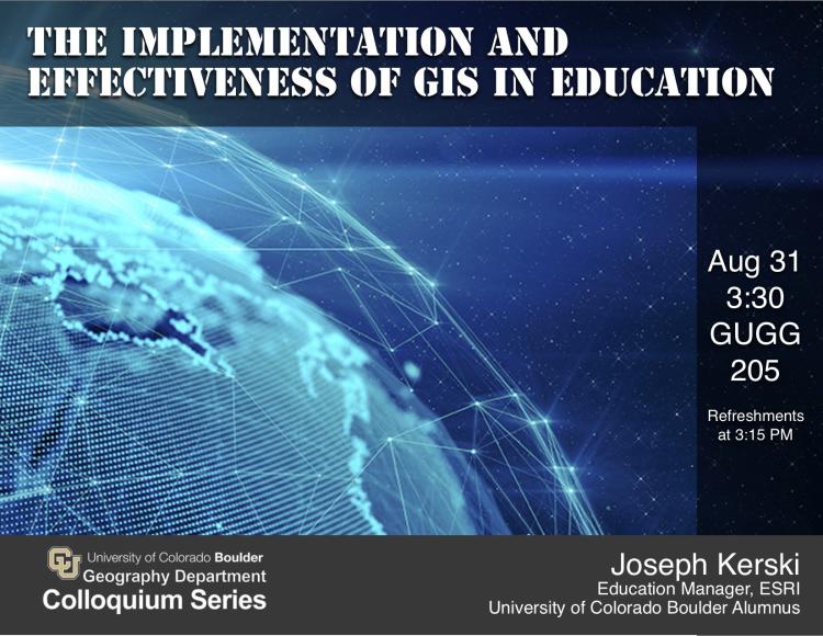
How is Geographic Information Systems (GIS) taught in formal and informal educational institutions? How
should it be taught? Due to the advent of web GIS, the open data movement, citizen science, mobile field apps, maps as a storytelling medium, and other forces, spatial thinking through geotechnologies is being increasingly valued in geography, business, health, and other disciplines in primary, secondary, university, museums, libraries, and lifelong learning organizations.
Join geographer and CU alum Joseph Kerski as we explore research and development of GIS in education and how you can take advantage of these developments in your own career pathway.
Joseph J. Kerski, Ph.D., GISP
Education Manager, ESRI
Hosted by Colleen Reid


