
Expert offers mapping support to broad range of scholars
Geospatial data services postdoctoral fellow to provide better mapping support for all faculty and students
Mapping can be one of those skills that flummoxes researchers—but Alicia Cowart, a new postdoctoral fellow at the University of Colorado Boulder, wants to help.
As the Geospatial Data Services Postdoctoral Fellow, a first-of-its-kind position at CU Boulder created as part of the Council on Library and Information Resources (CLIR) Postdoctoral Fellowship Program, Cowart hopes to provide faculty and students better support when it comes to incorporating geospatial data—or maps—into their research and teaching.
“Geospatial tools are not always easily approachable, and there’s not a ton of information out there about best practices in terms of visualizations, what works, and what doesn’t work,” says Cowart. “I see my role as making geospatial methods available to people on campus.”
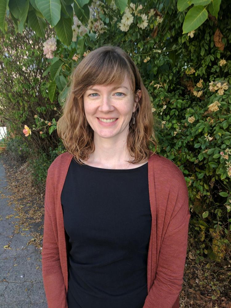
Alicia Cowart is the first Geospatial Data Services Postdoctoral Fellow at CU Boulder. Top map of Huldufólk (elf-like creatures) Homes in Iceland is courtesy of Susannah Lee, one of Cowart's previous students.
While the natural sciences—and the geosciences in particular—have long utilized mapping techniques like geographic information systems (GIS), this approach is newer to some of the disciplines in the social sciences and humanities. Cowart hopes to fill that gap by making it accessible to all.
And for Cowart, who was formerly the staff cartographer—or map maker—at the University of California, Berkeley, the position is a natural fit.
Cowart received her PhD in geography from University of California, Berkeley. Prior to that, however, she earned a degree in art history and anthropology and worked in museums.
“Alicia brings the perspective of a researcher and instructor, as well as an interdisciplinary background combining the humanities, social sciences, and geosciences to all of her interactions,” says Thea Lindquist, a professor with the libraries as well as the director of Open and Digital Scholarship Services.
“I fully expect that our students and faculty will gain new insights into their work when Alicia helps them view it through a geospatial lens.”
As part of the position, which is two years, Cowart plans to host several workshops in the Center for Research Data and Digital Scholarship, teach graduate courses through Interdisciplinary Training in the Social Sciences and provide consulting to any faculty member or student interested in gaining geographic insights into their work, learning more about mapping or in need of some general support.
Cowart will also work on her own projects, which include developing new geospatial resources and conducting research on how geospatial concepts are used in research and education.
This semester, Cowart will participate in interdisciplinary data consultation hours, which are on Tuesdays between noon and 2 p.m. in the Center for Research Data and Digital Scholarship in Norlin E206. She encourages researchers to stop in and discuss mapping tools and techniques or how best to find and use geospatial data.
“If you’re feeling daunted by the prospect, just ask me anything, even if it’s ‘I don’t even know where to get started,’ and I can help with that,” says Cowart.