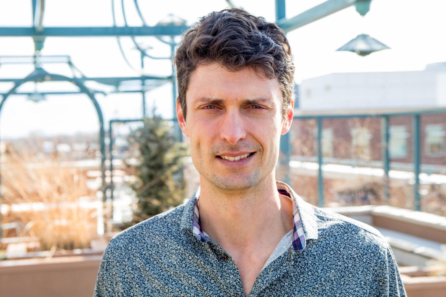
Joel Sholtes,
- Instructor, Civil Engineering, Colorado Mesa University
- Colorado Mesa University – University of Colorado Boulder Partnership

Joel Sholtes, PhD, PE, teaches civil engineering specializing in water resources engineering: hydraulics, hydrology and water resource management at Colorado Mesa University. His professional and academic experiences focus on physical river processes (river hydraulics and fluvial geomorphology) with applications to stream rehabilitation, flood hazards, and river corridor land use and infrastructure management. He is currently investigating the hydrologic impacts of stream corridor restoration. Prior to teaching at CMU, Dr. Sholtes worked for the Bureau of Reclamation, Sedimentation River Hydraulics Group. He received his PhD in Civil Engineering from Colorado State University where he was an EPA STAR and NSF IGERT fellow.
Abstract
How does stream corridor restoration influence local water and thermal energy fluxes?
The current paradigm in stream corridor restoration emphasizes reconnecting our stream channels to the wider and deeper corridor within which they reside. Oftentimes, stream degradation results from a disconnection or discontinuity between a stream channel and its floodplain (lateral disconnection) or its hyporheos (vertical disconnection). These disconnections may be due to direct impacts such as channelization and bank armoring, or indirect impacts such as channel incision from hydrologic, biologic, and geomorphic disturbances. Stream restoration practices that attempt to reconnect a stream with its floodplain by addressing either channelization or degradation also attempt to address the disconnected processes such as water, thermal energy, and sediment storage and transport.
The lateral and vertical connectivity in both water and thermal energy fluxes were targeted for restoration in two projects that are investigated. Badger Creek, a 2nd order stream located in Fremont County, Colorado was incised 0.5 to 1 m due to overgrazing, removal of woody vegetation from the riparian zone, and likely extirpation of beaver. Sod mats were installed within the channel at a close interval and willow stakes planted to attempt to raise the water table, spread storm flows across the floodplain, and convert this single thread channel into a wet meadow and wetland complex. Groundwater monitoring transects, surface water monitoring, and estimates of evapotranspiration are compared between a restored reach and a nearby impaired (un-restored) reach. The lateral connectivity between surface water and groundwater in the restored reach is investigated along with other estimates of water storage and fluxes within the two reaches.
The Upper Grande Ronde River, a 4th order stream located in Northwestern Oregon, suffers from high temperatures during the summer low flow season. Water temperatures frequently exceed upper thresholds for the health of federally protected salmonids. Reach-scale restoration projects on the Grande Ronde are attempting to restore lateral hyporheic flow paths and fluxes thereby restoring or augmenting thermal refuges for these fish. Water temperature time series data and hydraulic modeling are being used to evaluate the potential for thermal refuge restoration.

