
Where'd My 14er Go?
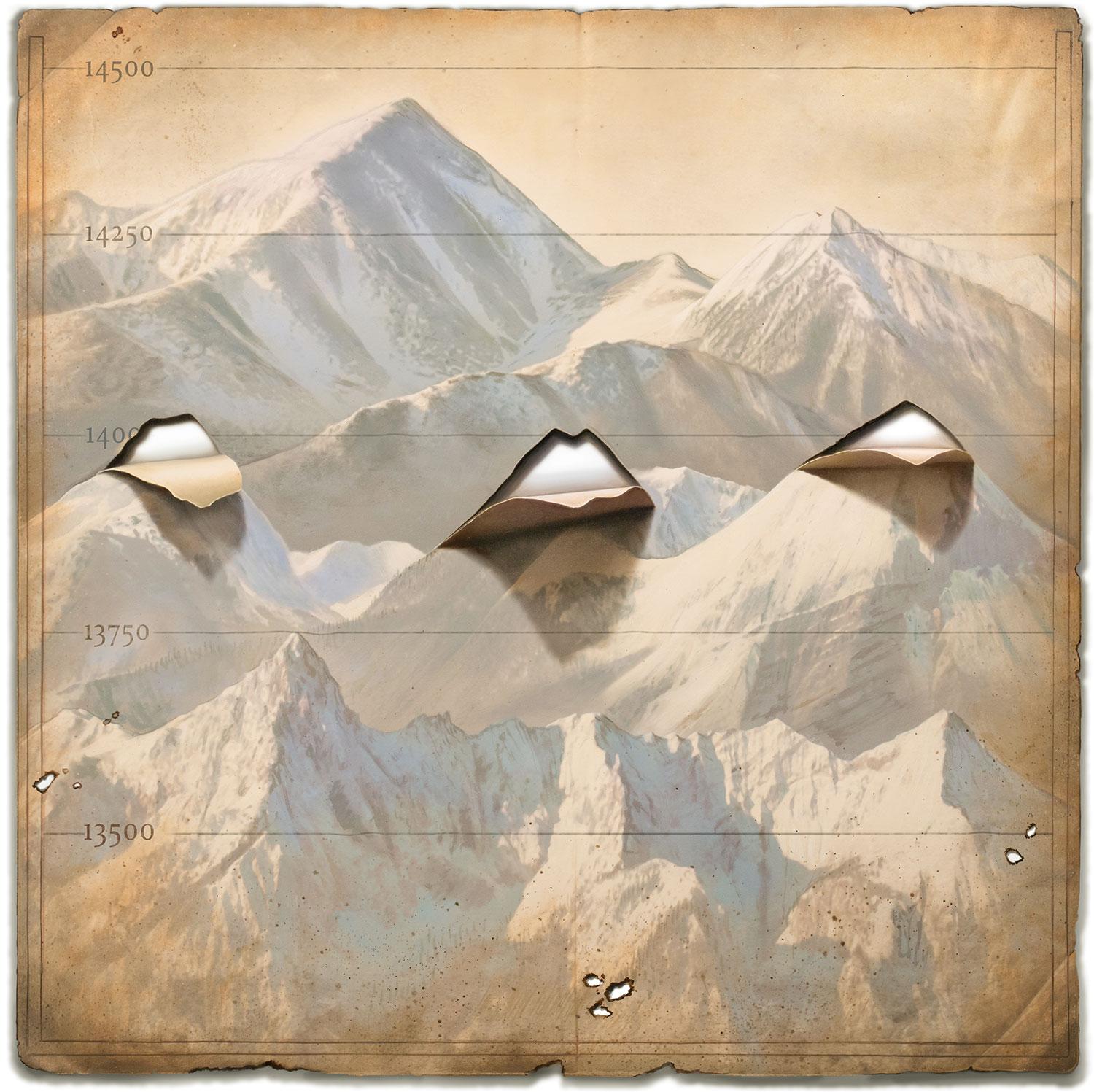
At 14,001 feet, Colorado’s Sunshine Peak is barely a “14er” — and might not be one for long. The status of Huron Peak, 14,003 feet, is also in jeopardy.
In fact, all of Colorado is expected to lose about two feet of elevation. Seattle will lose three feet. Florida will stay about the same.
Blame it all on better science.
For the last five years, U.S. government scientists have been redefining elevation — height above an agreed upon reference point — using a new method that involves satellites and airborne gravity-measuring machines to determine a new baseline for measuring the heights of landmasses. Basically, they’re establishing a new “zero.”
The new method can survey the entire continent quickly and keep up to date as Earth morphs.
Once complete, in 2022, the decade-long project will provide the most precise measurements ever.
The revised elevation data will help organizations like FEMA determine more exact U.S. flood plains, for example, according to Derek van Westrum (PhDPhys’98), a scientist with NOAA’s National Geodetic Survey (NGS), which sets federal standards for surveying and mapping activities. The updates will aid land surveyors, oceanographers and geographers also.
“Measurement uncertainties will be within centimeters now instead of feet,” said van Westrum, who works for NOAA in Boulder and is responsible for the survey’s terrestrial gravity measurements. “In Seattle right now, if you wade into the ocean, the current height system will indicate you’re about three feet above sea level.”
NOAA is the National Oceanic and Atmospheric Administration. Current official elevations date from the 1980s.
The new measurement system is a far cry from the old way of doing things: For hundreds of years, terrestrial elevations were measured by hand from sea level using rulers, levels and brass markers.
While largely accurate when done correctly, this method is extremely tedious and costly, said van Westrum. And in places like Colorado, rugged terrain and extreme distance above sea level make it difficult to precisely measure. In Alaska, it’s nearly impossible. It’s an easier task in flat, seaside states like Florida.
“The new system can cover the entire continent quickly, and also keep it up to date as the Earth slowly changes, something you can't easily do with an army of folks with rulers,” van Westrum said.
The new survey method also improves upon GPS-based elevation mapping, which assumes a simple ellipsoid model of Earth. In contrast, the new method accounts for the complex and evolving shape of the planet.
“People know the Earth is round, but because it’s spinning, it kind of blobs out into an ellipsoid,” van Westrum said. “And with mountains and valleys and things like that, we know the Earth isn’t a perfect ellipsoid. It looks more like a lumpy potato.”
Scientists on the project, called GRAV-D, short for Gravity for the Redefinition of the American Vertical Datum, measure gravity’s pull near the Earth’s surface. They use the data to create a model of Earth’s geoid — a mathematically derived approximation of global mean sea level.
Measuring distance from this global mean to the top of landmasses will yield new, highly accurate elevations.
In order to map Earth’s lumpy potato shape, NGS uses gravity meters developed by Tim Niebauer’s (PhDPhys’87) company, Micro-g LaCoste in Lafayette, Colo., in addition to NASA satellites that collect gravity-related data.
Niebauer’s machines, which range in size from small toasters to barrels, use mirrors and lasers to measure gravity, said van Westrum, a self-described “gravity guy” who worked at Niebauer’s company for 15 years before joining the NOAA survey. Scientists deploy the machines on slow-moving GRAV-D aircraft and on the ground.
“You’re getting a picture of the Earth from outside of the Earth,” said Niebauer, who commercialized his gravity meters after perfecting them at CU’s JILA, a joint institute of the university and the National Institute of Standards and Technology (NIST).
The team uses ground-based and airborne machines to measure gravity’s pull near the Earth's surface.
To ensure that GRAV-D is as precise as possible, survey scientists have undertaken parallel projects across the U.S. using both old and new measurement systems and comparing results. Van Westrum led a Colorado project that measured elevations between Durango and Walsenburg, for instance. Initial data shows similar results from the two methods.
GRAV-D still has five years to go before it becomes the new standard for measuring elevation. Once it’s in effect, in 2022, a NOAA team will continually monitor agents of geologic change — such as volcanic eruptions, earthquakes and the movement of tectonic plates — all of which influence Earth’s dynamic shape. As the shape changes, so will global mean sea level and the elevations of landforms.
“You’ll be able to go anywhere with a GPS and know exactly where you are, latitude, longitude and how far above the surface of the geoid you are,” said van Westrum.
While it’s possible that some places could gain elevation, in general they’ll lose it, van Westrum said — imperiling Colorado’s shortest 14ers. Like poor Sunshine Peak.
Opening illustration by Tim O'Brien
Photo by National Oceanic and Atmospheric Administration/Department of Commerce
Illustrations by NASA/JPL/University of Texas Center for Space Research