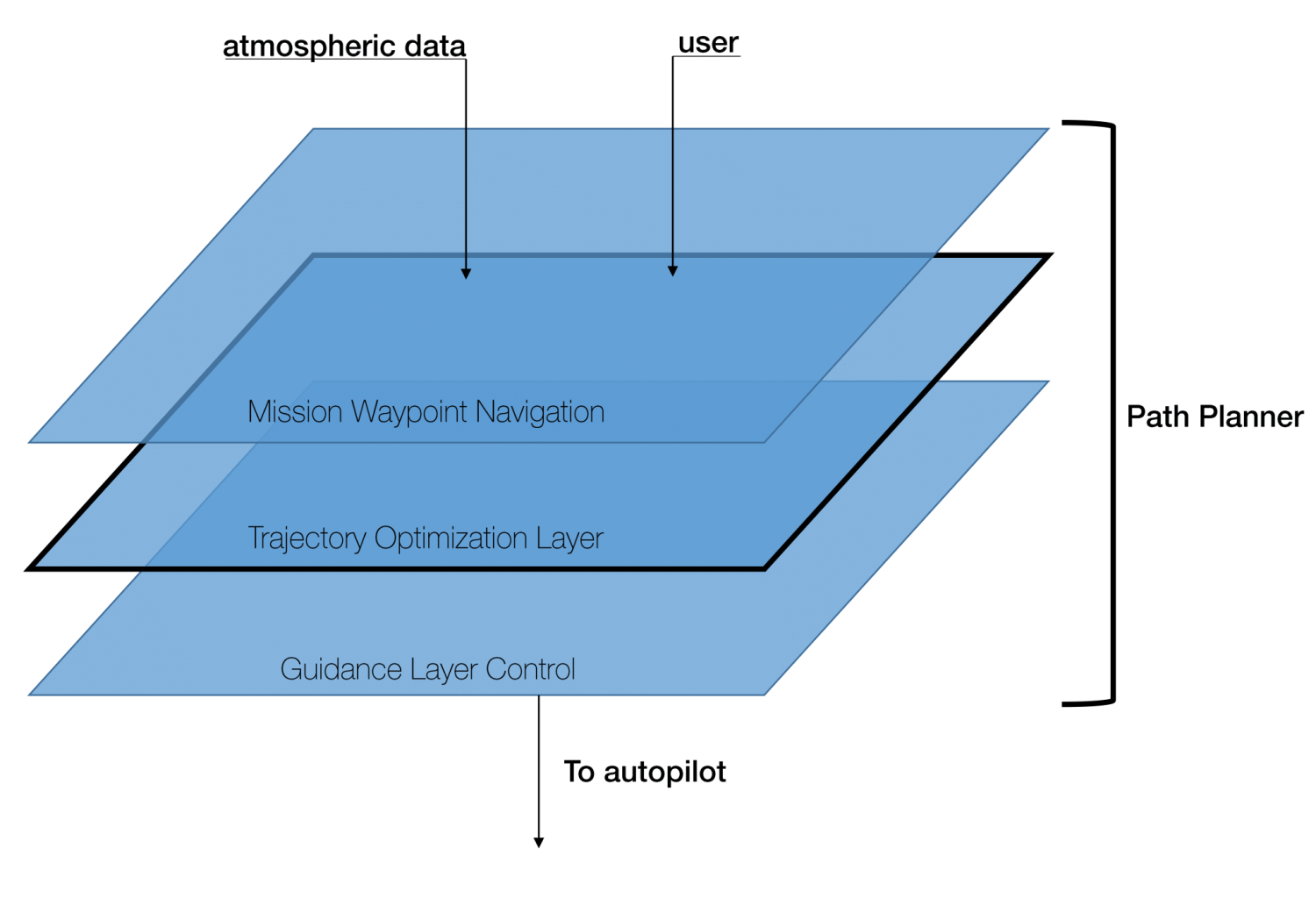
Introducing the Trajectory Optimization Layer

The Trajectory Optimization Layer (TOL) is a middleware component of the EA-DDDAS aircraft control system. It resides below the extended time-horizon path planner and above the aircraft path following controller. It's primary responsibility is generating energy-aware optimal flight trajectories in real-time using measured data of the wind environment.
By harnessing the wind energy already present in the storm environment, these energy-aware trajectories could extend the range and endurance of sUAS, especially in severe weather applications. The TOL is one of the primary EA-DDDAS components being tested this summer in Lubbock, TX.
At the moment, the TOL is capable of generating and stitching together several guidance trajectories (point A to point B flight) and sending this optimized path to the Pixhawk autopilot on-board the aircraft via a network link. Given a latitude, longitude, and altitude goal, the TOL logic hashes up the path to the goal into several smaller chunks which are then optimized individually and seamlessly stitched together. The goal of this software is to handle any goal provided to it (within a reasonable distance) and provide the aircraft with a single stitched trajectory to that goal. The code can also output KML and JSON versions of the trajectory so it can be viewed in Google Earth as the code runs (see picture).
Upcoming work includes developing a python wrapper for loitering-class trajectories (staying in or around a pre-designated region), testing the TOL within a software-in-the-loop system, and decreasing optimization times by pre-allocating wind data from the MongoDB server.
Stay tuned!

