
Visualizing and Analyzing Spatial Data with R
Course Topics
Researchers often work with data corresponding to geographic locations. In these situations, it may be of interest to visualize data and take full advantage of spatial statistical methods in order to model and incorporate relationships among locations. In general, spatially oriented data sets fall into one of three categories: point-referenced data, areal data, or point pattern data. This short course will focus on areal data, where a fixed region of interest is divided into a finite number of units, such as counties or states. Methods for exploratory data analysis and visualization of areal data will be discussed, as well as estimation of spatial models for areal data.
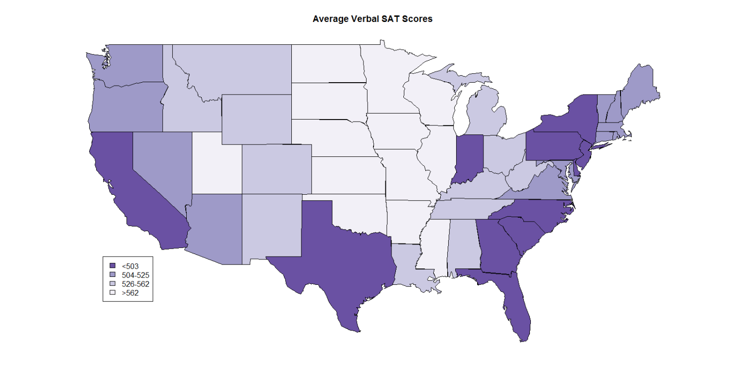
This is an advanced short course that assumes prerequisite knowledge of linear models and R. This short course includes lecture and computer laboratory components. The lecture component will briefly motivate the mathematical concepts of areal data models. SAT scores from 1999 in the 48 contiguous United States (Wall, 2004) and sudden-infant-death-syndrome (SIDS) data in North Carolina counties (Cressie and Read, 1985) will be explored during the computer laboratory component using R to demonstrate techniques for visualization and analysis of areal data.
[video:https://vimeo.com/150938633]