Value and Potential of Satellite-Based Inspections to Inform Transportation Asset Management Decisions

Background
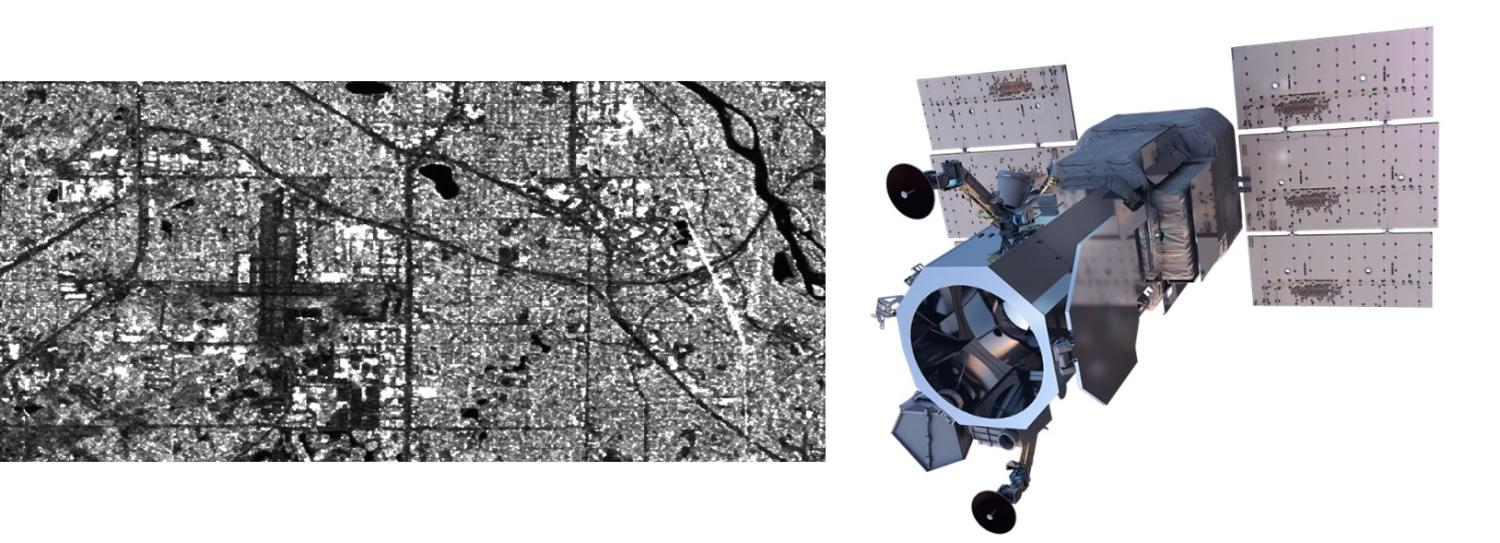
The advancement in technology has opened doors to innovative solutions for assessing pavement conditions. Traditional approaches, whether manual or automated, are labor-intensive, time consuming, and therefore expensive. As a result of this, pavement condition inspections are often limited to principal roads, leaving ancillary roads relatively unmonitored due to resource constraints. To address this challenge, the IRI group completed a project funded by Minnesota Department of Transportation to explore the potential of satellite data to derive information of pavement condition. The project (described in detail here) resulted in the development of a machine-learning tool that uses publicly available Synthetic Aperture Radar (SAR) images and a set of pavement features to estimate pavement roughness. The study found that SAR images have a strong potential in quantifying pavement roughness. While it is not as highly accurate as the automated distress surveys, it can be used to evaluate the condition of local, ancillary, or low priority roads which are not typically monitored, and a very high accuracy in condition evaluations may not be needed.
Background
The goal of this project is twofold: first, to quantify the value and potential for implementation of the SAR-C tool developed in a previous project; and second, to expand this tool to inspect pavement surfaces in bike lanes and shared use paths.
Research Methods
The research methodology for this project combines refining the SAR-C tool and expanding its applications through enhanced algorithms, transfer learning, and extensive comparative analysis between satellite-based and traditional inspection data to scrutinize various pavement conditions and road types. Through focused case studies, we will explore extensions of SAR-C to evaluate the condition of trails and sidewalks.
Expected Contributions
This project supports one of MnDOT’s strategic objectives: “Use data effectively to strategically manage investments and assets, within available resources, in a proactive and holistic way to reduce life-cycle costs and maintain the value of our most critical assets”. This research will provide objective measurements on the value of uncertain information (i.e., satellite data) to inform management decisions. By exploring the use of publicly available data, this study has the potential to democratize access to information aimed at optimizing the management of transportation assets.
Funding
Minnesota Department of Transportation (MnDOT)

