
Former Scripps Fellow Founds World’s Largest Environmental Survey
Catch the King, which was founded in Hampton Roads, VA, uses citizen science to collect GPS flood data in coastal Virginia. During astronomical high tides (the highest tides that occur when the earth, the sun, and the moon are aligned), participants use a smartphone app that enables them to mark areas of the rising shoreline on a digital map.
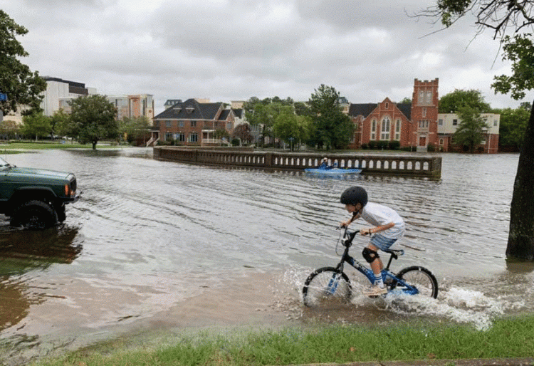
Set less than 20 feet above sea-level, the Hampton Roads area of Virginia has historically had flooding issues. Weather events, like rainfall from heavy and intense storms, are common causes of flooding. Coastal flooding is also a problem. Due to the rising sea levels caused by climate change, things are getting worse.
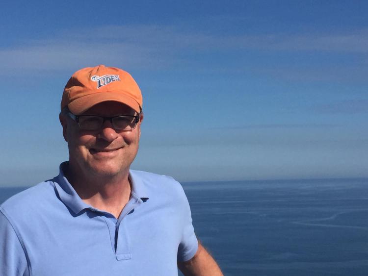
Inspiration to create Catch the King struck in 2017 when Mayfield, an environmental reporter for The Virginian-Pilot, read about a “crowdsourced project in Hawaii in which people photographed King Tides.” He noticed that no one was using GPS-enabled apps to document tide data and wanted to introduce the concept to coastal Virginia.
“There are still many areas here that aren’t well documented,” notes Mayfield. “We don’t know exactly how high the tide comes.”
With backing from The Virginia Institute of Marine Science, and support from VIMS scientist Jon Derek Loftis, Catch the King was born.
In November 2017, Catch the King had over 720 unique participants attend their first crowdsourcing event. Those 720 people captured over 59,718 survey samples across the Hampton Roads area. Since 2017, Catch the King has held annual events, though app users can log data at any time.
Aside from potentially helping policymakers, Catch the King “gives people a chance to be engaged in their community and feel like they’re making a contribution,” says Mayfield.
With the help of Loftis, Catch the King is looking to expand its project up the coast. Loftis and Mayfield are interested in crowdsourcing data on the Potomac River and into Northern Virginia. “Actually, some of the most significant flooding we’ve had in Virginia has been on the Potomac, and it’s tidal flooding,” notes Mayfield.
Mayfield credits the Scripps Fellowship for laying the groundwork that allowed him to create this project. “It was one of the most important experiences I had in my career, and I really don’t think that I would have had the gumption or the background to have come up with this idea and to execute it if it hadn’t been for the fellowship,” says Mayfield. “It really helped instill in me a much more disciplined understanding of environmental challenges.”