


Circumambulating Khawakarpo
Photo Essay by Emily Yeh
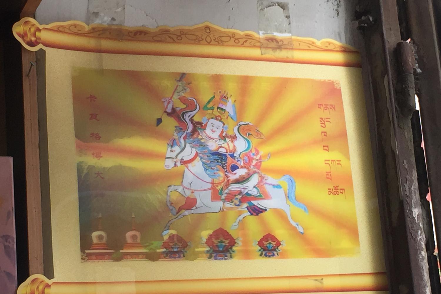
Khawa Karpo (Kha ba dkar po), in the southeastern corner of the Tibetan Plateau and spanning what is now the boundary of Yunnan province and the Tibet Autonomous Region (TAR), is many things: one of the most sacred mountains of Tibetan Buddhism, a major pilgrimage site, a biodiversity hotspot, a tourism destination, the centerpiece of a prominent protected area, the Meili Snow Mountain National Park, and a rich source of minerals. At 6740 meters, it has never been climbed, a fact that is at the forefront of the minds of many residents in the context of the region’s fraught ontological and environmental politics. In 1991, when a Sino-Japanese climbing team approached the peak, hundreds of Tibetan villagers gathered at a nearby temple in protest of the deity’s submission to the mountaineers. The next morning, an avalanche swept away all seventeen climbers. Several years later, villagers’ ongoing opposition to climbing garnered the attention of Chinese environmentalists who petitioned the government, which banned mountaineering on the peak.
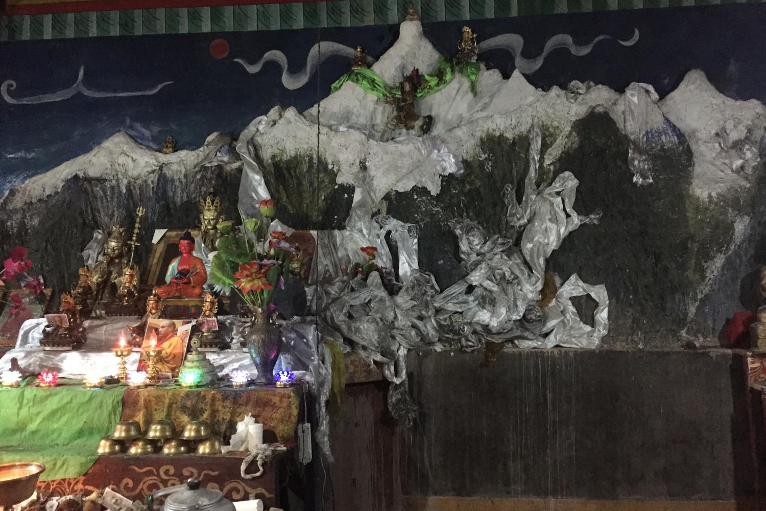
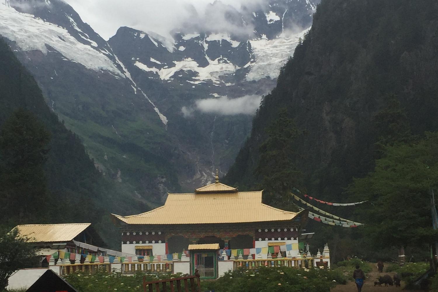
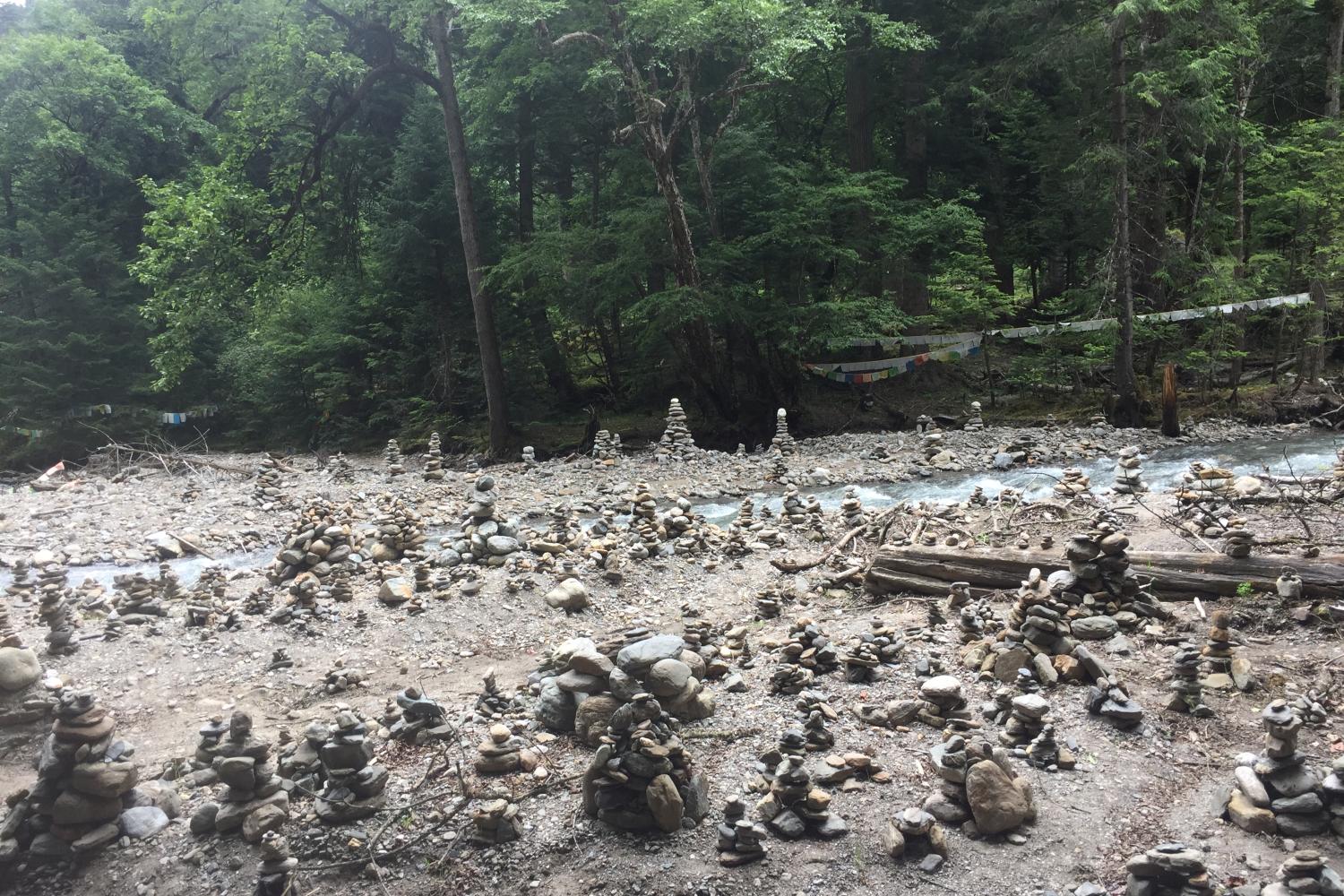
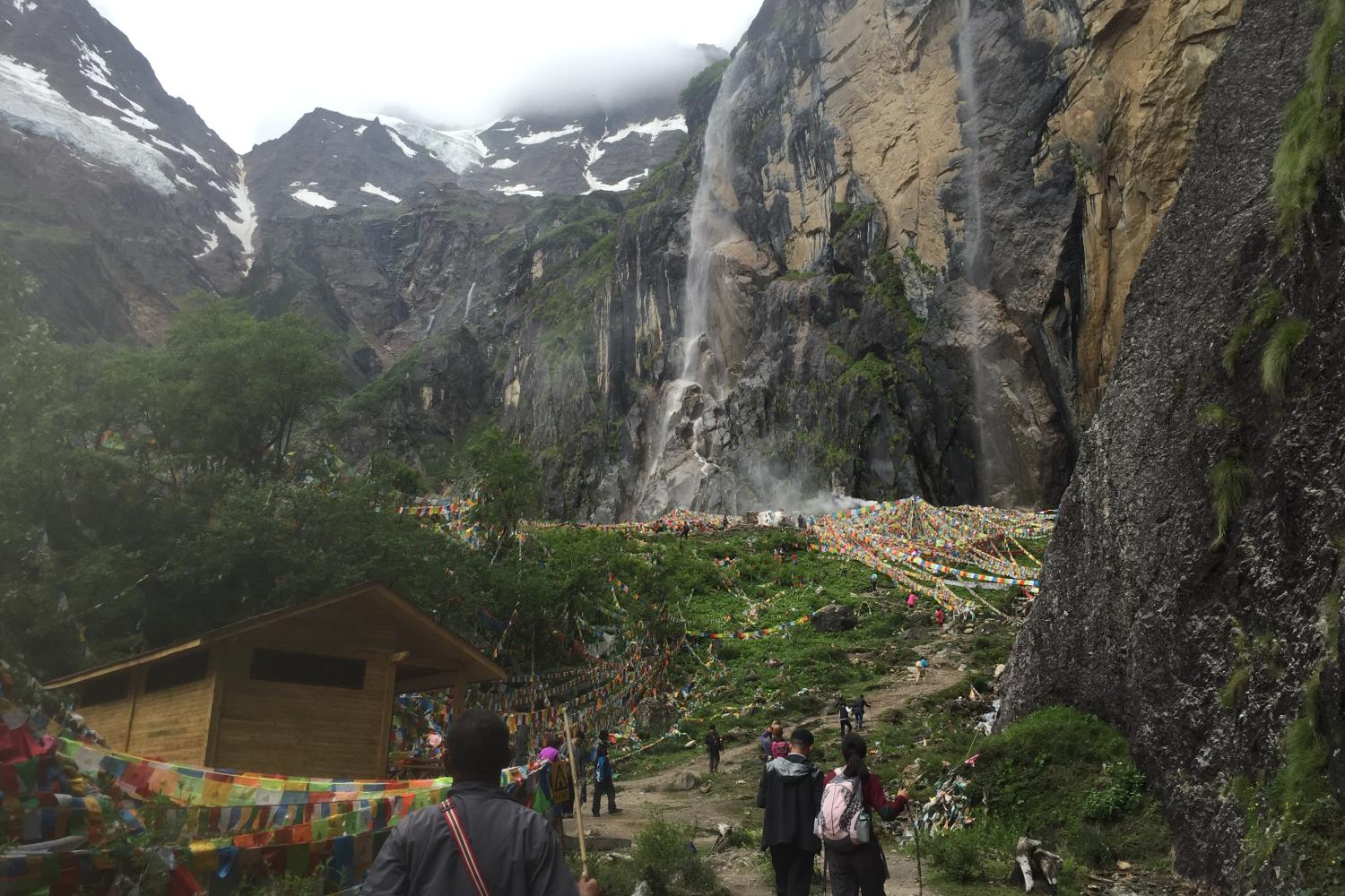
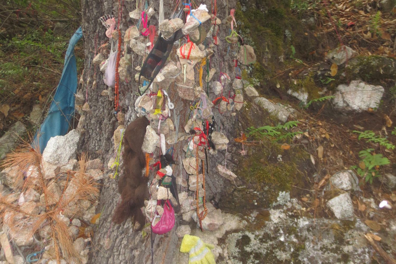
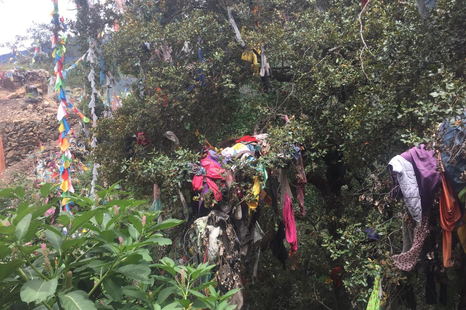
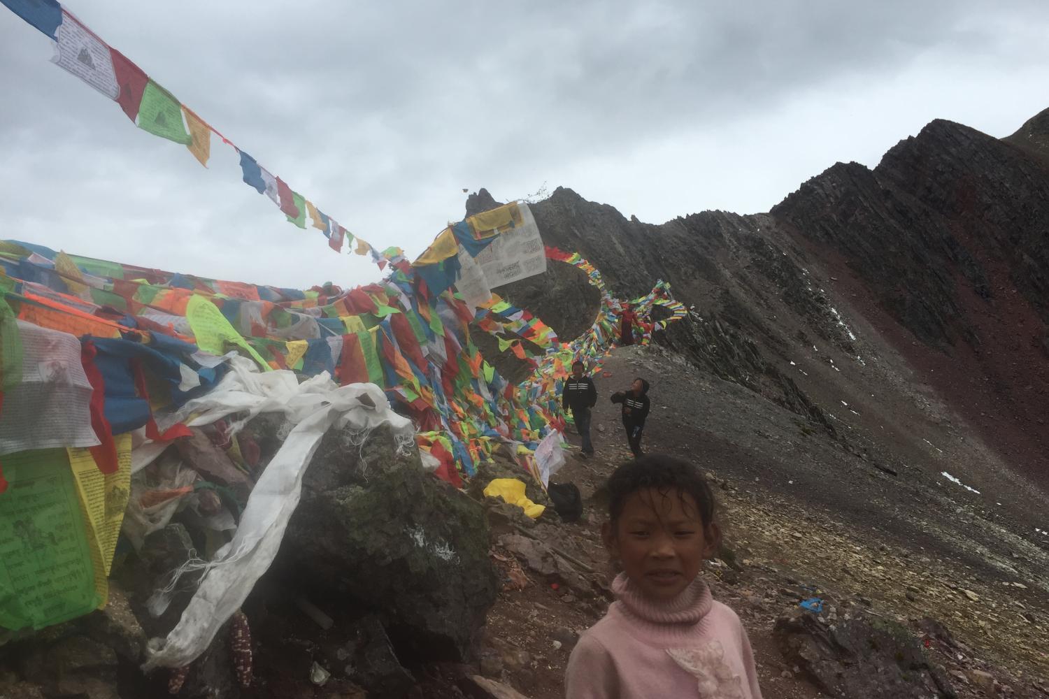
Pilgrims to Khawakarpo undertake both the inner circumambulation path, or kora (skor ra), and a much longer outer circumambulation. The inner route is associated with the village of Lekbam (Gleg bam) or Yubeng in Chinese, beyond which lies a sacred waterfall as well as numerous treasures (terma) buried by Padmasambhava as well as footprints, handprints and springs that mark the activities of the 2nd and 3rd Karmapas. It also includes two temples (lhakhang) above Melong village near the rapidly retreating Melong glacier. This area has become particularly popular with tourists, and was the site of many of The Nature Conservancy’s conservation efforts from roughly 2000-2009.
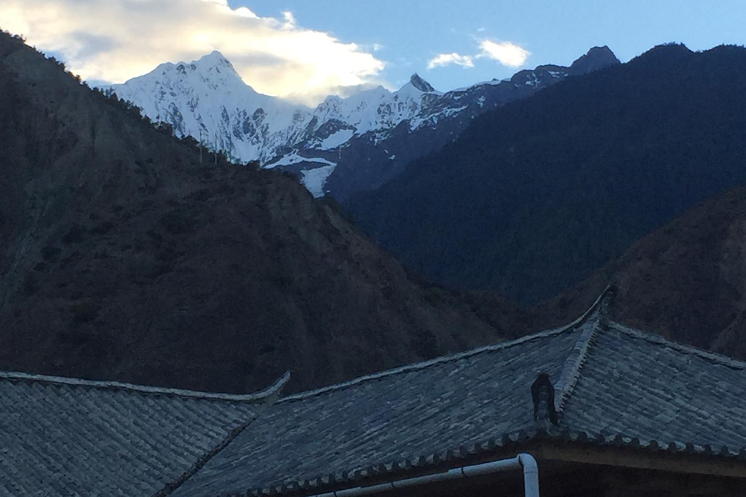
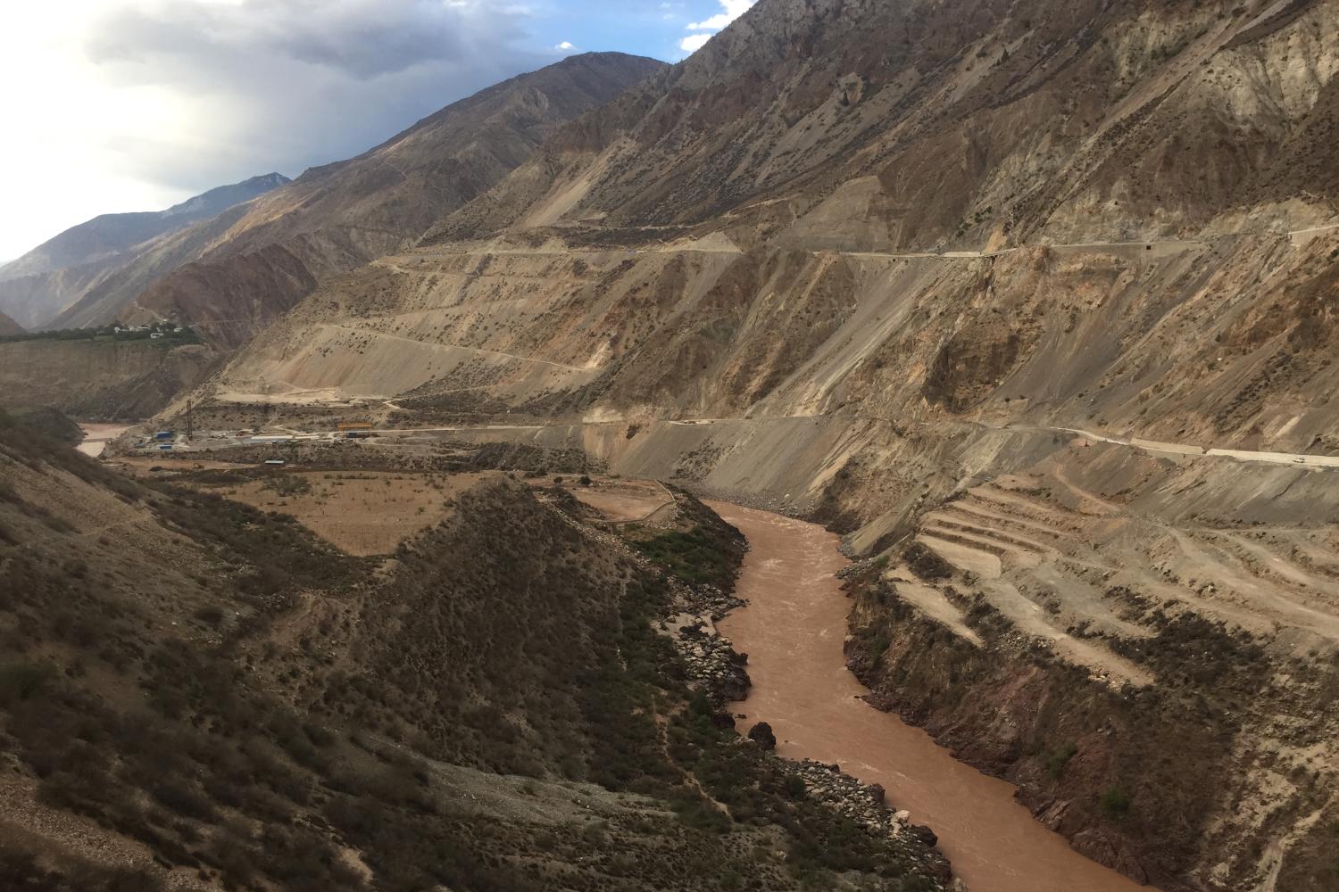
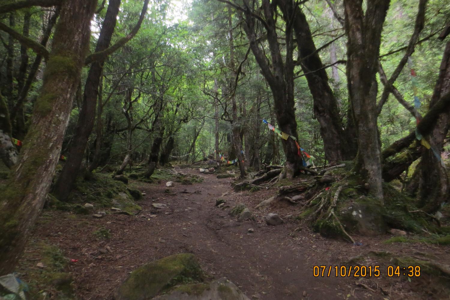
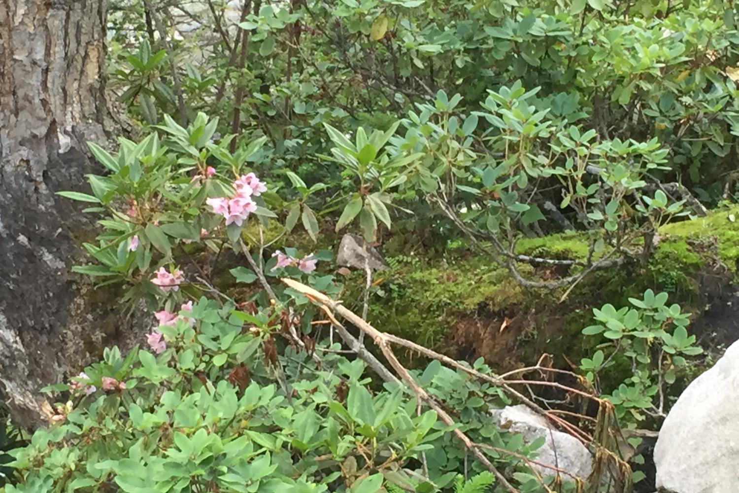
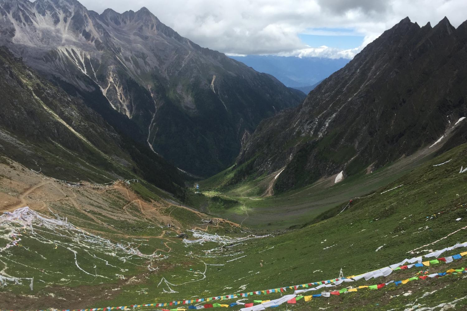
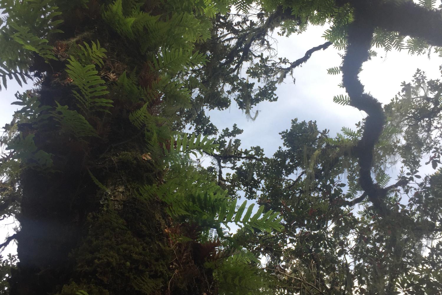
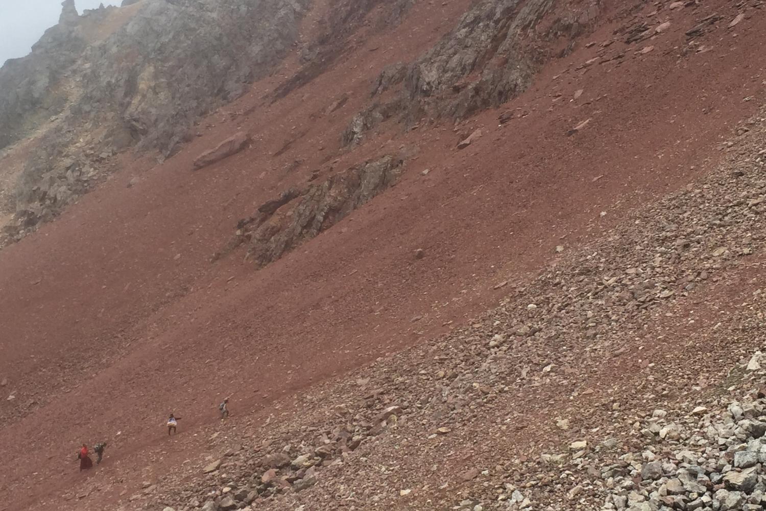
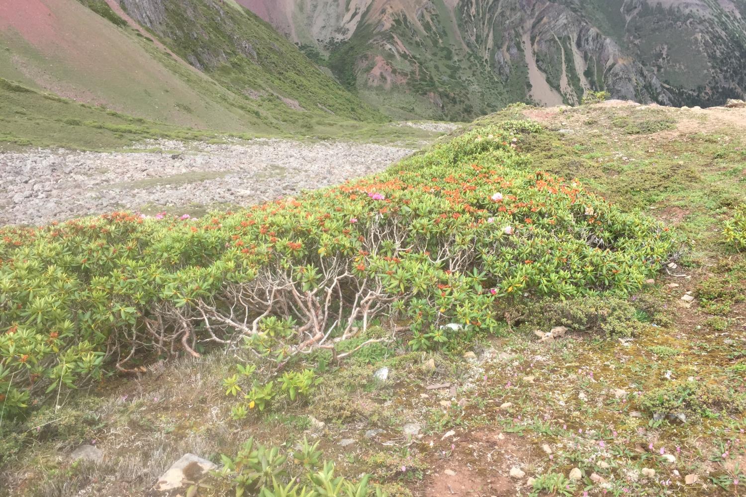
The outer kora, 150 kilometers in length, crosses over seven passes, including the Doker la (4080 meters) and the highest Shola (4800 meters), going from east to west and west to east, respectively, and crosses from the Mekong River on the Yunnan side to the Nujiang (Salween) river in Tsawarong, in the TAR. The well-trodden footpath brings pilgrims through old-growth forest with gnarled conifers hosting epiphytes and masses of hanging lichens, deep valleys, scree-laden passes, lush pastures, clear streams, big river, and in view of many glaciated peaks. The region’s extreme altitudinal gradients make it an epicenter of biodiversity, home to more than 6000 species of plants, many endemic. It is particularly well known as a source of rhododendrons, and “plant hunters” Joseph Rock, F. Kingdon Ward, and George Forrest all based themselves in the region and traveled the outer kora in their explorations.
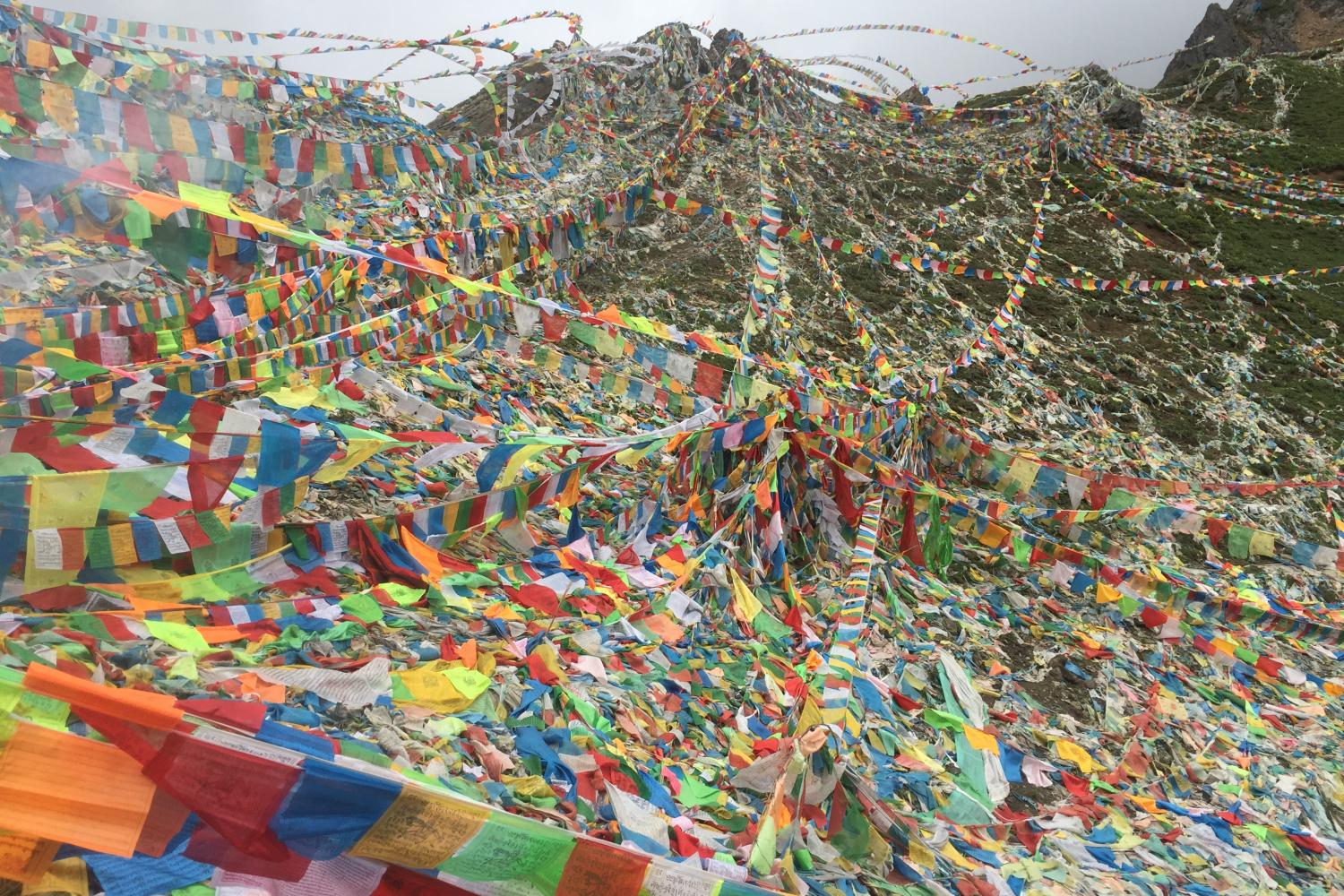
The pilgrimage route has a history of at least seven hundred years, and is said to have been “opened” either by Namkha Chogyi Gyatso, or the 2nd or 3rd Karmapas, Karma Pakshi and Rangjung Dorje. It is particularly important to circumambulate during the Year of the Sheep, the zodiac year of the mountain deity Khawakarbo. In 2003, the first Sheep Year since the founding of the PRC when the pilgrimage was allowed and in addition the particularly auspicious water-sheep year (which occurs only every 60 years), more than 60,000 pilgrims performed the outer circumambulation.
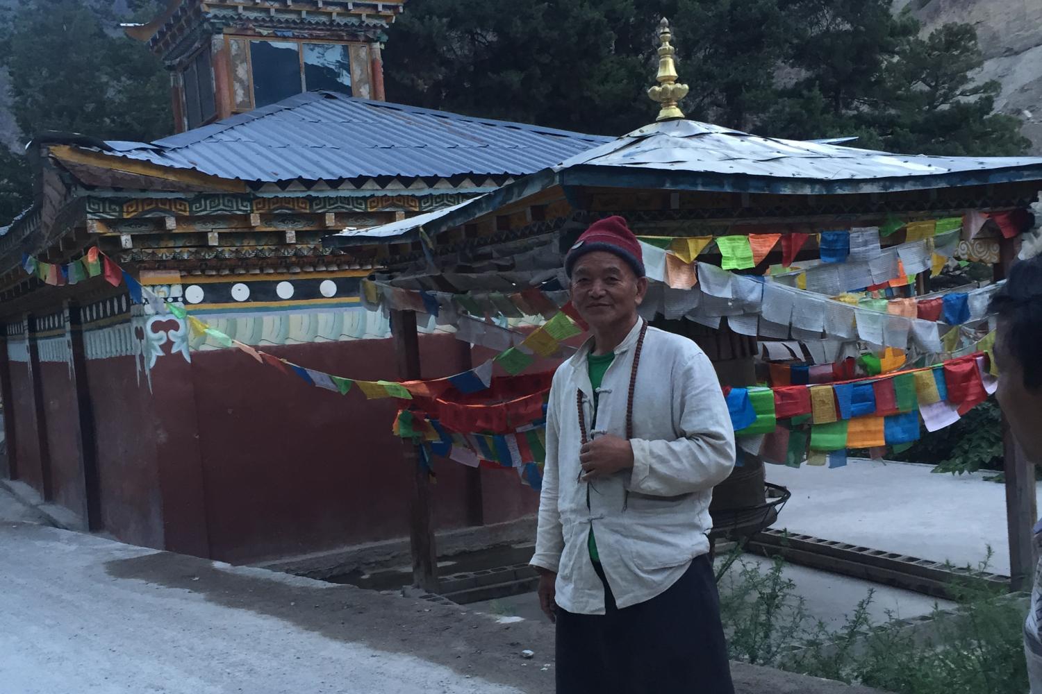
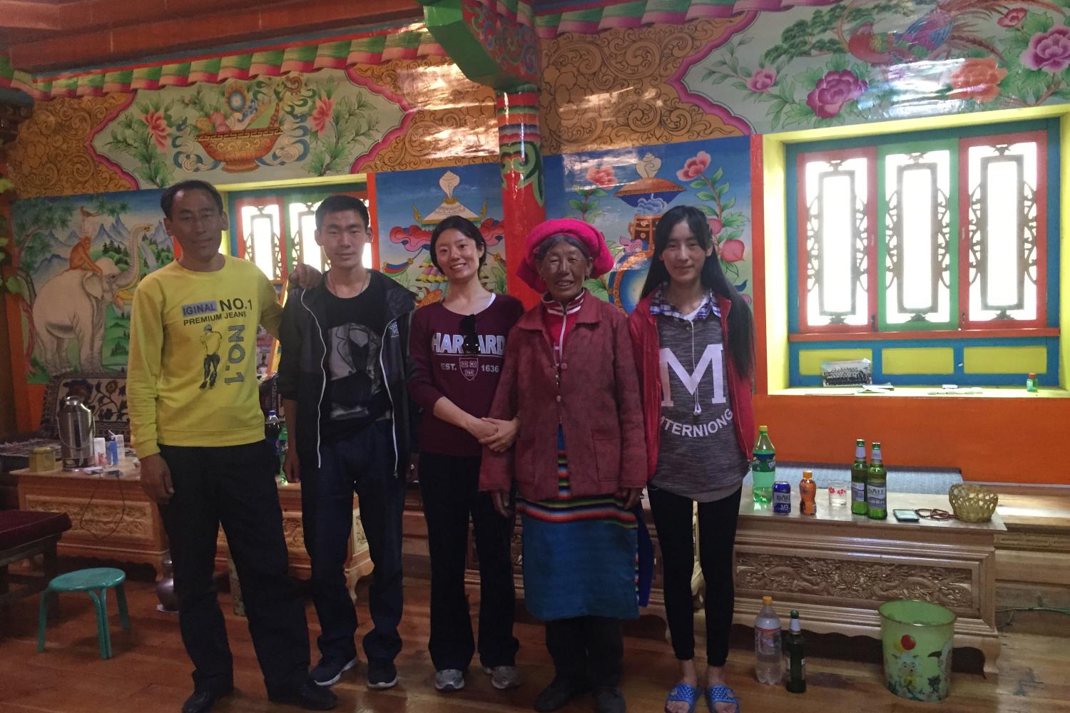
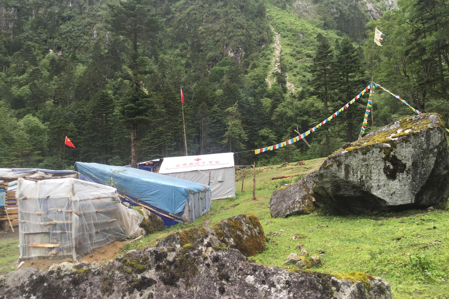
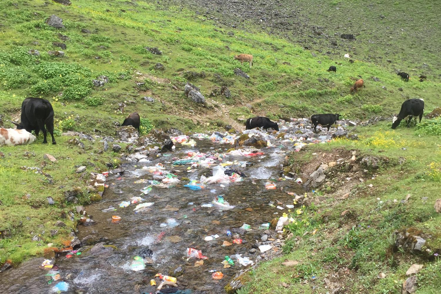
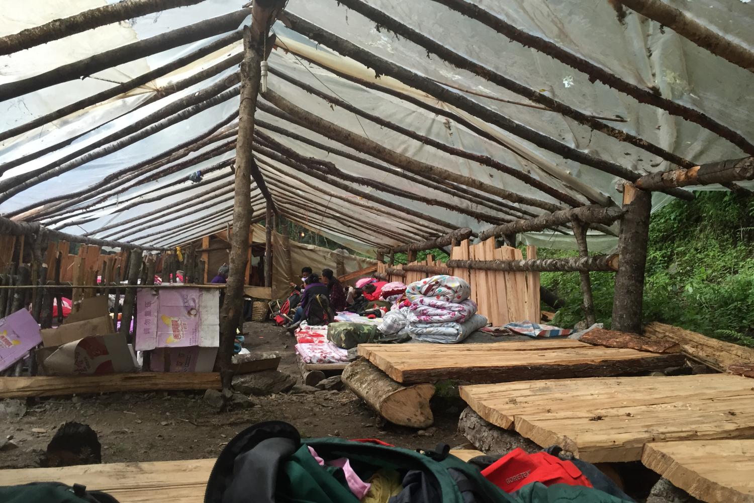
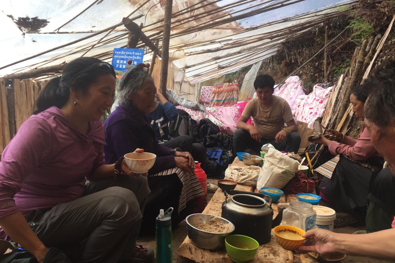
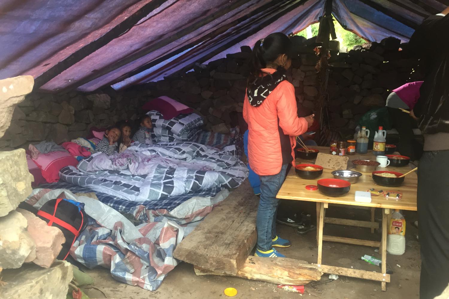
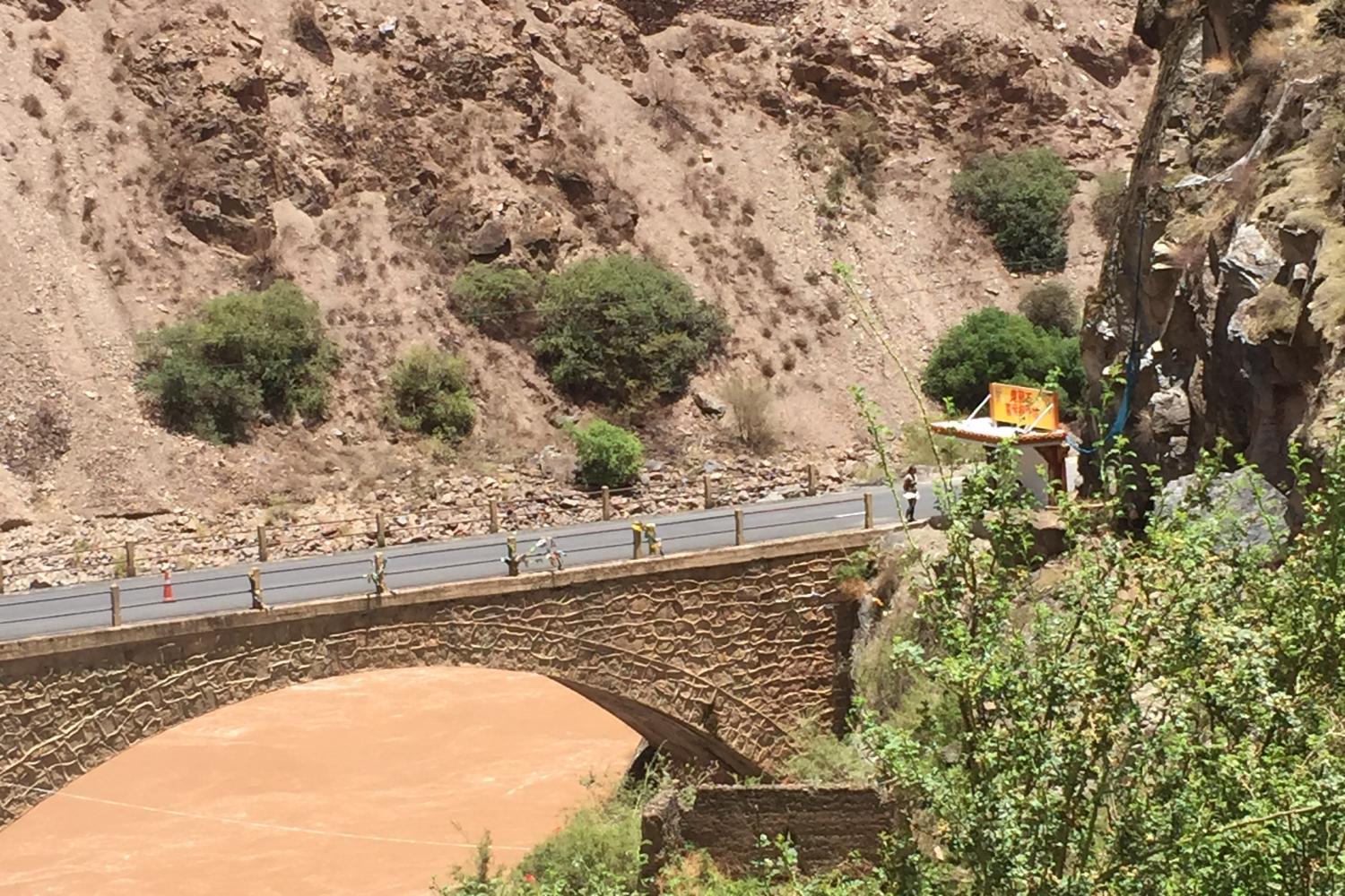
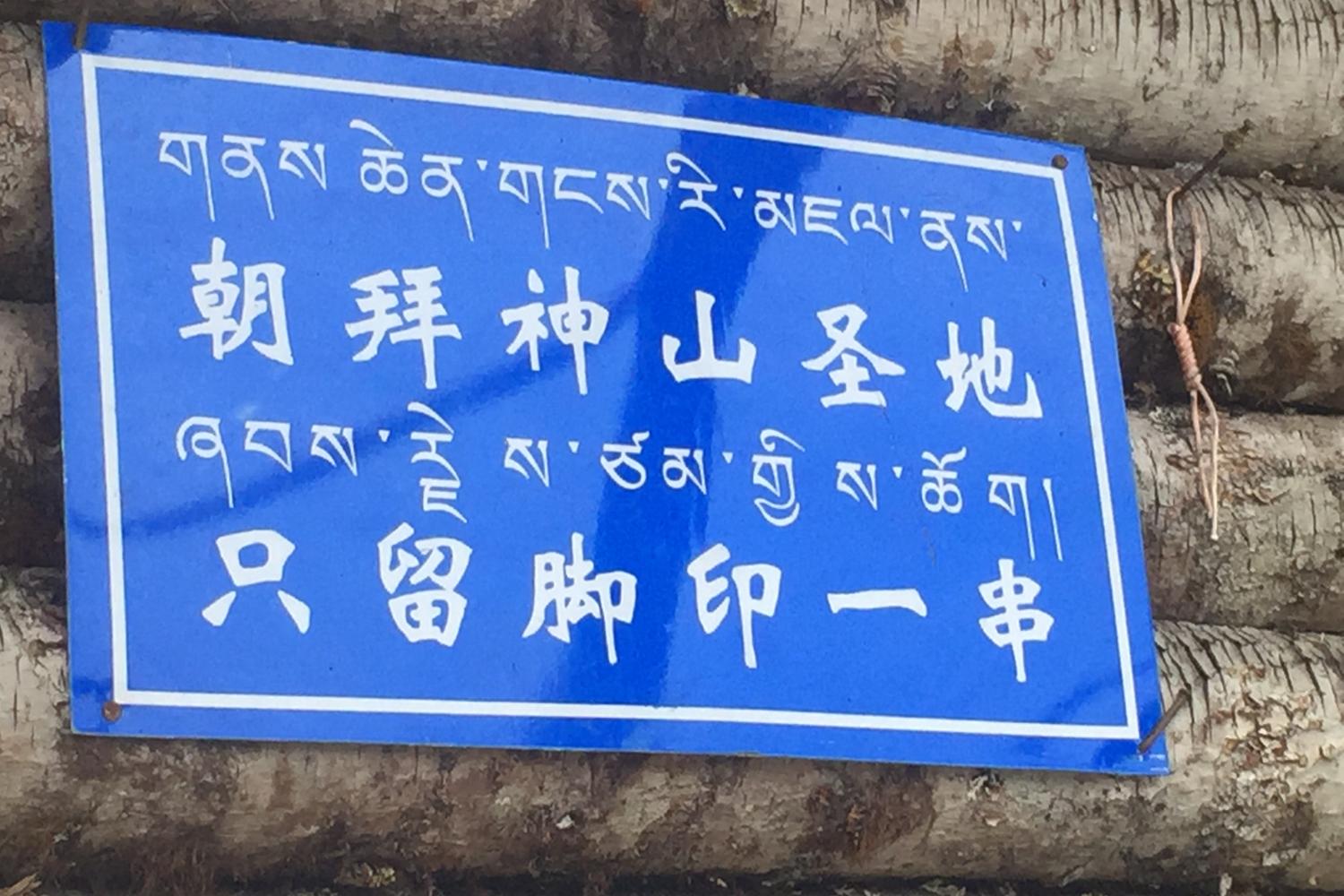
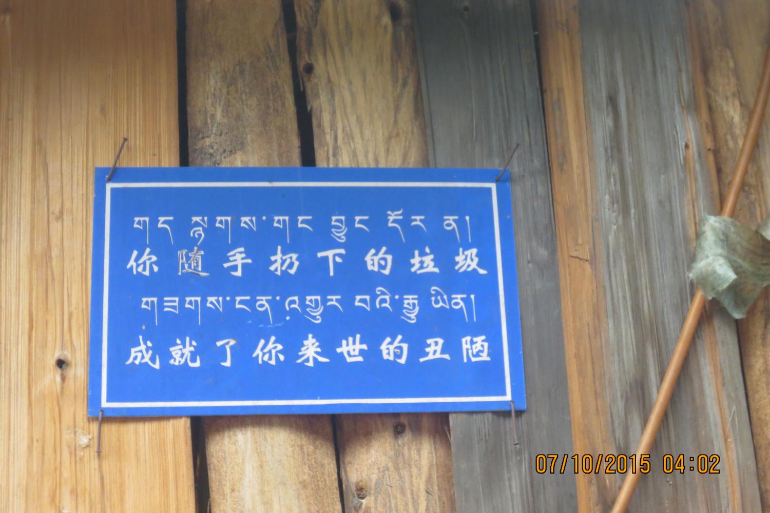
This photo-essay documents my participation in the inner kora and outer kora in the summer of 2015, another Year of the Sheep. I was particularly interested in learning more about local conservation efforts in the area, as well as about accounts of the agency of the mountain and its political ontology vis-à-vis reports of a dispute between villagers and the government over gold mining along the circumambulation route. Since 2003, the network of simple shelters along the circumambulation route had become more developed, but this has also resulted in large piles of plastic beverage containers, ramen bowls, and other garbage along the route, particularly on the TAR side of the path, where garbage bins and organized collection were absent. Given the ongoing political crackdown across the Tibetan Plateau, the pilgrimage was much more tightly controlled than in 2003. Tibetan villagers from the Yunnan side were required to apply for Tibet Entry Permits to complete the circumambulation, cadres from the TAR were reportedly not allowed to travel there, and foreigners were checked and denied entry at multiple checkpoints. Some pilgrims now do the stretch of the route from Aben to Chawalong and then to Gebu via shared mini-van, cutting down the total time of the circumambulation, though it still takes them six very long days. Planned dams on the upper Salween may eventually flood this lower section of the route where there is now a road. Another relatively recent development, particularly on the Yunnan side, is the intensification of the Shugden controversy which has led to bitter animosities within villages.