
Clement and Neumann present at the 2023 World Environmental & Water Resources Congress
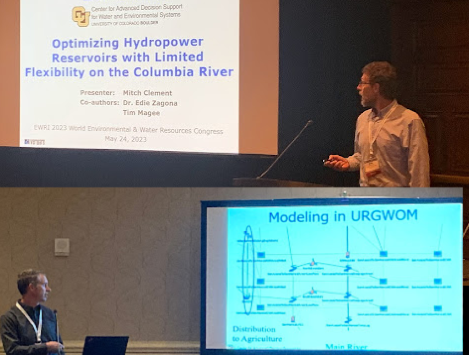
Mitch Clement presented “Optimizing Hydropower Reservoirs with Limited Flexibility on the Columbia River” and David Neumann presented “Deep Aquifer Modeling within an Operations and Planning Decision Support Tool on the Rio Grande River, New Mexico” while attending the EWRI conference May 21 – 25, 2023, in Henderson NV.
More about the conference is available here.
Optimizing Hydropower Reservoirs with Limited Flexibility on the Columbia River
Authors: Mitch Clement, Tim Magee and Edie Zagona, Center for Advanced Decision Support for Water and Environmental Systems (CADSWES), University of Colorado, Boulder.
Abstract:
Chelan County Public Utility District in central Washington owns and operates the Rocky Reach and Rock Island hydropower dams on the Columbia River. The dams have a combined generating capacity of 1924 MW but very limited reservoir storage. This presents significant challenges when managing the cascading reservoirs given variable inflows, a combination of licensing and environmental obligations, and the requirement to meet highly variable and uncertain power demand, shaped in part by a high level of variable wind generation in the region. Without careful management, reservoirs can quickly empty, forcing cuts in generating capacity, or they can quickly fill, leading to excessive spill, which not only represents lost generating potential but also produces high levels of total dissolved gas (TDG) resulting in high fish mortality. We will describe the RiverWare Optimization model Chelan uses to guide operations. The optimization meets formal operational requirements while positioning the reservoirs with flexibility to respond to forecast deviations. The model combines RiverWare’s Rulebased Simulation and Goal Programming Optimization solutions over three forecast horizons at a five-minute timestep. After meeting formal requirements, the priority-based solution uses remaining degrees of freedom for desirable operations, such as preventing spill, keeping reservoirs relatively balanced and preventing large changes in flows. Simulation of TDG formation and transport allows the model to alert the system of anticipated TDG problems. The model runs automatically every five minutes with results feeding into Chelan’s real-time control system.
Deep Aquifer Modeling within an Operations and Planning Decision Support Tool on the Rio Grande River, New Mexico
Authors:
David Neumann and Edie Zagona, Center for Advanced Decision Support for Water and Environmental Systems (CADSWES) University of Colorado, Boulder.
Roseanna M. Neupauer, CEAE, University of Colorado, Boulder.
John Craven and Nick Mander, Hydros Consulting Inc, Boulder CO.
Abstract:
In the Rio Grande basin in New Mexico, water managers must balance irrigation and water supply demands, environmental flow targets, flood control targets, and other operating objectives. Several agencies share a suite of models used for planning, forecasting, operations and water accounting called the Upper Rio Grande Water Operations Model (URGWOM), implemented in RiverWare. While the basin is highly dependent on shallow groundwater and, at longer time scales, the underlying deep aquifer, only the shallow groundwater system is included directly in URGWOM. The shallow groundwater is represented by a gridded network that solves for flow between groundwater nodes and the surface river reaches using an explicit head-based approach. External MODFLOW simulations provide boundary conditions to this shallow groundwater network that represent the deep aquifer. The MODFLOW simulations are computationally intensive, which has limited the number and type of operating scenarios that could be explored with URGWOM. We introduced a set of “aquifer objects” beneath the shallow groundwater network to directly represent the deep groundwater system. This new approach reduces the computational burden by eliminating the MODFLOW simulations, allowing efficient testing of operating policies that are impacted by the response of the deep aquifer, such as increased or decreased pumping and different hydrologic and climate change scenarios. We describe the head-based solution approach for these aquifer objects and show how the MODFLOW model cells are aggregated into larger aquifer objects to represent the entire basin. This new simplified approach produces results that are consistent with the previous approach.