With the passing of time comes the natural and purposeful degradation of all human made structures and objects. As a result, cultural heritage management becomes important in order to document, share and learn from significant cultural assets, both physical and intangible.
The use of laser mapping systems to create 3D documentation of archaeological sites has grown significantly in the past 5 years. Project MAP will integrate terrestrial and mobile laser mapping (LIDAR) data with UAS photogrammetry data to create detailed images to document, study and share critical historical sites.
Goals of Project
- To advance cultural heritage management and create records of key historical sites by utilizing a high-resolution LIDAR scanning system along with photogrammetry.
- To study both ancient ground structures and foliage to understand the behavior of and the use of landscape by early humans.
- To create a method of merging different data sources (LIDAR, photogrammetry, aerial, terrestrial, satellite) in order to advance our understanding of ancient life.
- To make archaeological data available to the broader public by transforming LIDAR and photogrammetry records into synthetic representations that can be explored through a mobile application (websites, apps, etc.).
Primary Contact
Gerardo Gutierrez, Assistant Professor, Department of Anthropology | gerardo.gutierrez@colorado.edu | 303-492-7288
Researchers & Collaborators
Gerardo Gutierrez, Assistant Professor, Department of Anthropology, University of Colorado Boulder
Archaeology, specifically the reflection of political and economic arrangements on landscapes;the arrival of European cultures in Spanish dominated regions in the Americas; remote sensing and GIS technologies in archaeology
Steve Lekson, Professor, Department of Anthropology and Curator of Archaeology, CU Museum of Natural History, University of Colorado Boulder
Archaeology with a focus on human geography, built environments and government; museums and archaeology’s role in American and global intellectual life
Eric Frew, Associate Professor, Aerospace Engineering Sciences (AES) and Director, Research and Engineering Center for Unmanned Vehicles (RECUV), University of Colorado Boulder
Networked heterogeneous unmanned aircraft systems, optimal distributed sensing by mobile robots, controlled mobility in ad-hoc sensor networks, miniature self-deploying systems, guidance and control of unmanned aircraft in complex atmospheric phenomena
Research Facilities
Research and Engineering Center for Unmanned Vehicles (RECUV)
RECUV is a university, government, and industry partnership dedicated to development and application of Unmanned Aircraft Systems (UAS). Facilities include the Mobile Research Collaboratory (MRC), an indoor flying-robot lab, a systems-integration lab, ground-based LIDAR capability, and a fixed-wing and rotary-wing unmanned aircraft fleet integrated with a variety of sensors. RECUV also possesses the most expansive university network of FAA Certificates of Authorization (COAs), allowing UAS operation and research over more than 100,000 square miles of space in Colorado, Oklahoma, Kansas, Texas, Nebraska, Wyoming, and Alaska.
Research Partners
History Colorado, State of Colorado under the Department of Higher Education
Office of Archaeology and Historic Preservation (OAHP), an office of History Colorado
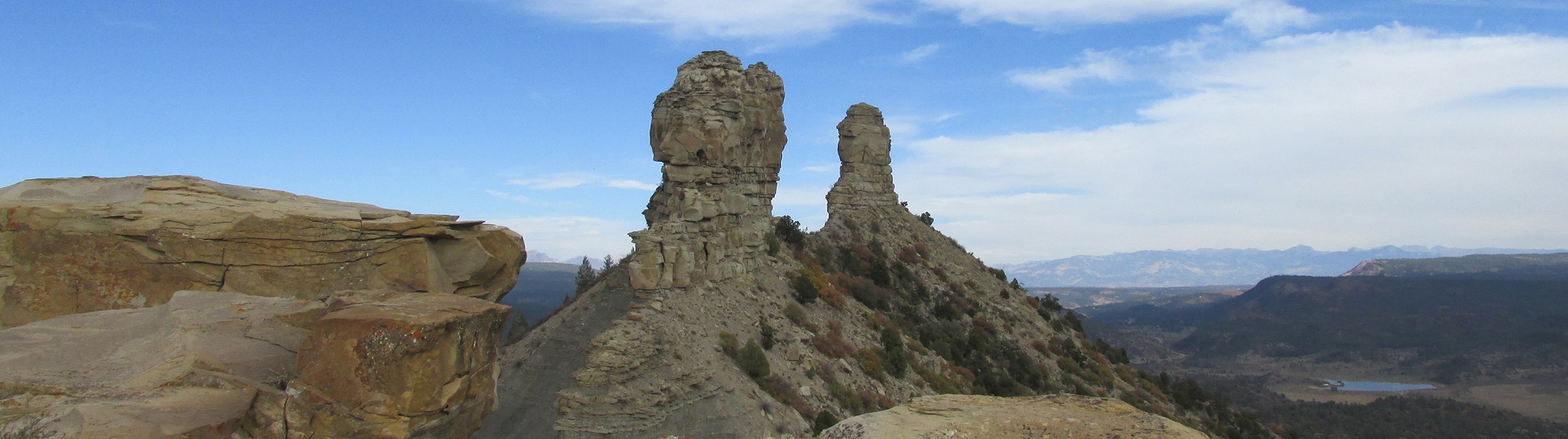
Chimney Rock National Monument, San Juan National Forest
Project Phases
- Development of a mapping, photogrammetry UAS. (Gutierrez, Frew)
- A volunteer team of both Graduate and Undergraduate students from the Department of Anthropology and the College of Engineering (RECUV) built CU’s first photogrammetry UAV prototype.
- Based on prototype learnings, a final photogrammetry UAS will be created.
- Deployment of a Riegl VMZ Hybrid Mobile Laser Mapping System for stationary and mobile mapping. (Gutierrez)
- Creation and execution of a management proposal for archaeological heritage at Chimney Rock Archaeological National Monument and the San Juan National Forest. (Gutierrez, Lekson)
- Project MAP has gained authorization to map Chimney Rock National Monument with LIDAR and UAS photogrammetry.
- Transformation of archaeological mapping into a synthetic representation to be accessible through online applications. (Gutierrez, Lekson)