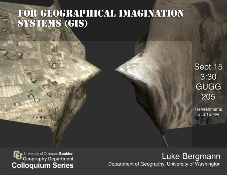
What if our GIS were Geographical Imagination Systems? How might we develop GIS that understand space as relational and that reflect knowledge as positioned and interpretive? What might a GIS more adequate to the theoretical commitments of the critical social sciences and theoretical humanities look like? Here, I will approach these questions not only theoretically and historically, but also practically. I present a prototype Geographical Imagination System titled 'Enfolding'--a web-based interface that encourages the interpretative construction, collision, and collaging of relational and absolute spaces to produce representations of torn and fragmented space, always in motion, interpenetrated by wormholes, and interwoven with dreams and hazy memories.
Luke Bergmann
Assistant Professor
Department of Geography
University of Washington
Hosted by Emily Yeh.
